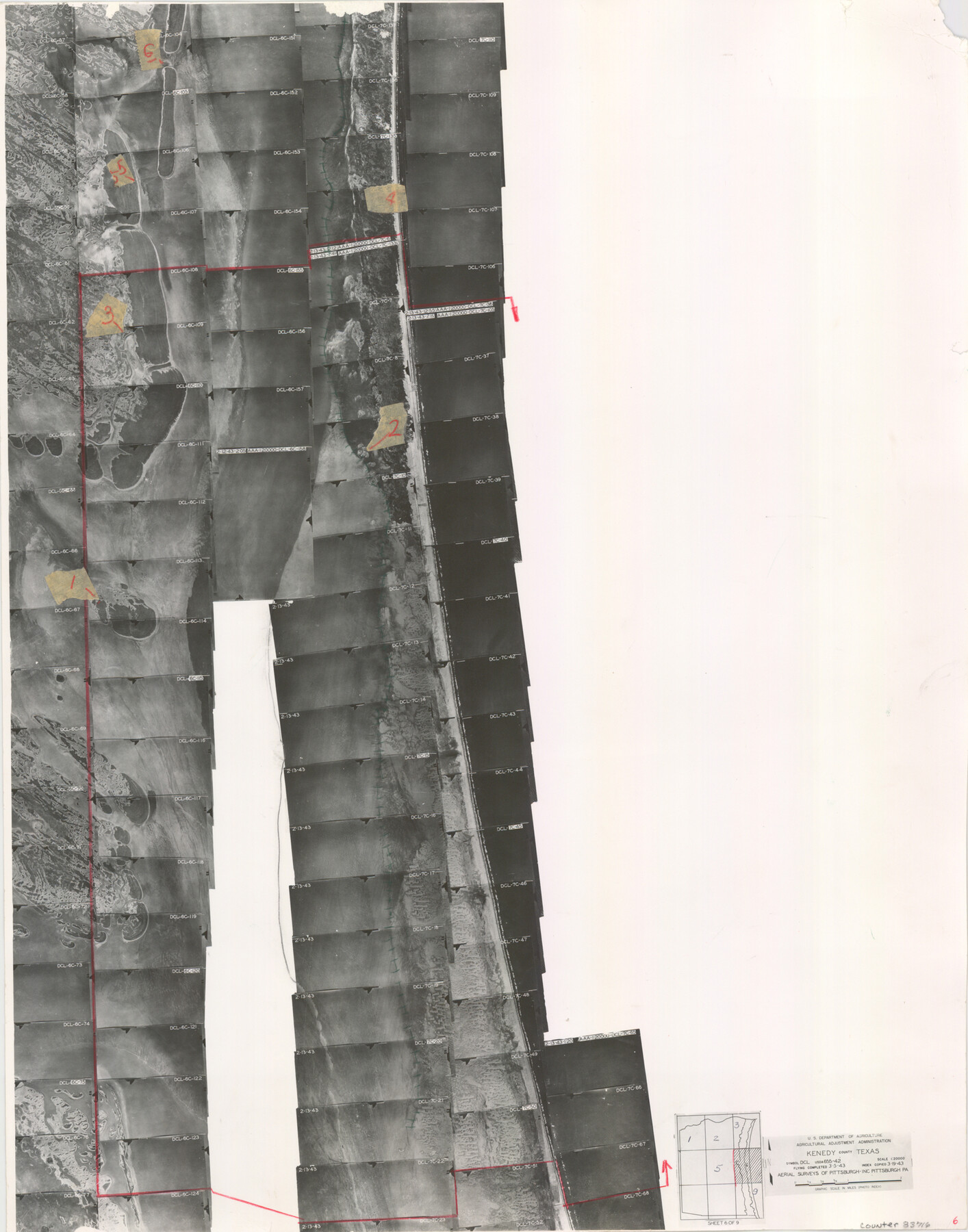
Kenedy County Aerial Photograph Index Sheet 6
Kenedy County Aerial Photograph Index 6
-
Map/Doc
83716
-
Collection
General Map Collection
-
Object Dates
1943/3/19 (Creation Date)
-
People and Organizations
U. S. Department of Agriculture (Publisher)
-
Counties
Kenedy
-
Subjects
Aerial Photograph
-
Height x Width
23.4 x 18.4 inches
59.4 x 46.7 cm
-
Comments
Flying completed March 5, 1943 by Aerial Surveys of Pittsburgh, Inc. of Pittsburgh, Pennsylvania.
Part of: General Map Collection
Denton County

Print $20.00
- Digital $50.00
Denton County
1947
Size 40.7 x 37.2 inches
Map/Doc 77262
Hardin County Working Sketch 12

Print $20.00
- Digital $50.00
Hardin County Working Sketch 12
1934
Size 16.8 x 11.9 inches
Map/Doc 63410
United States - Gulf Coast - From Latitude 26° 33' to the Rio Grande Texas

Print $20.00
- Digital $50.00
United States - Gulf Coast - From Latitude 26° 33' to the Rio Grande Texas
1913
Size 18.4 x 27.9 inches
Map/Doc 72842
Liberty County Rolled Sketch JP2

Print $40.00
- Digital $50.00
Liberty County Rolled Sketch JP2
1935
Size 51.8 x 12.8 inches
Map/Doc 10663
Williamson County Working Sketch 17

Print $20.00
- Digital $50.00
Williamson County Working Sketch 17
1984
Size 32.7 x 24.0 inches
Map/Doc 72577
Dimmit County Working Sketch 52

Print $20.00
- Digital $50.00
Dimmit County Working Sketch 52
1989
Size 25.2 x 37.0 inches
Map/Doc 68713
Rio Grande Rectification Project, El Paso and Juarez Valley

Print $2.00
- Digital $50.00
Rio Grande Rectification Project, El Paso and Juarez Valley
1935
Size 10.8 x 8.2 inches
Map/Doc 60873
Map of Rains County

Print $20.00
- Digital $50.00
Map of Rains County
1873
Size 12.0 x 12.4 inches
Map/Doc 4619
Webb County Working Sketch 64

Print $20.00
- Digital $50.00
Webb County Working Sketch 64
1962
Size 12.8 x 26.1 inches
Map/Doc 72430
Crockett County Rolled Sketch 45

Print $40.00
- Digital $50.00
Crockett County Rolled Sketch 45
Size 54.8 x 16.5 inches
Map/Doc 8710
Galveston County Sketch File 37

Print $30.00
- Digital $50.00
Galveston County Sketch File 37
1841
Size 14.3 x 8.8 inches
Map/Doc 23423
Controlled Mosaic by Jack Amman Photogrammetric Engineers, Inc - Sheet 55

Print $20.00
- Digital $50.00
Controlled Mosaic by Jack Amman Photogrammetric Engineers, Inc - Sheet 55
1954
Size 20.0 x 24.0 inches
Map/Doc 83514
You may also like
Blanco County Working Sketch 27

Print $20.00
- Digital $50.00
Blanco County Working Sketch 27
1969
Size 31.9 x 31.8 inches
Map/Doc 67387
Flight Mission No. DCL-7C, Frame 48, Kenedy County

Print $20.00
- Digital $50.00
Flight Mission No. DCL-7C, Frame 48, Kenedy County
1943
Size 16.6 x 16.5 inches
Map/Doc 86036
Newton County Sketch File 20

Print $4.00
- Digital $50.00
Newton County Sketch File 20
1893
Size 14.2 x 8.7 inches
Map/Doc 32395
[Surveys near the Sabine River]
![302, [Surveys near the Sabine River], General Map Collection](https://historictexasmaps.com/wmedia_w700/maps/302.tif.jpg)
Print $20.00
- Digital $50.00
[Surveys near the Sabine River]
1840
Size 18.8 x 20.9 inches
Map/Doc 302

Flight Mission No. DQO-1K, Frame 39, Galveston County

Print $20.00
- Digital $50.00
Flight Mission No. DQO-1K, Frame 39, Galveston County
1952
Size 18.8 x 22.6 inches
Map/Doc 84982
Crockett County Working Sketch 90

Print $20.00
- Digital $50.00
Crockett County Working Sketch 90
1978
Size 45.2 x 43.3 inches
Map/Doc 68423
Flight Mission No. BRE-2P, Frame 137, Nueces County

Print $20.00
- Digital $50.00
Flight Mission No. BRE-2P, Frame 137, Nueces County
1956
Size 18.6 x 22.4 inches
Map/Doc 86810
Rand, McNally & Co.'s Texas

Print $20.00
- Digital $50.00
Rand, McNally & Co.'s Texas
1893
Size 21.3 x 28.3 inches
Map/Doc 95842
[Kansas City, Mexico & Orient]
![64268, [Kansas City, Mexico & Orient], General Map Collection](https://historictexasmaps.com/wmedia_w700/maps/64268-1.tif.jpg)
Print $40.00
- Digital $50.00
[Kansas City, Mexico & Orient]
1904
Size 16.2 x 123.7 inches
Map/Doc 64268
Township No. 4 South Range No. 15 West of the Indian Meridian

Print $4.00
- Digital $50.00
Township No. 4 South Range No. 15 West of the Indian Meridian
1875
Size 17.9 x 22.4 inches
Map/Doc 75151
Flight Mission No. BQR-4K, Frame 69, Brazoria County

Print $20.00
- Digital $50.00
Flight Mission No. BQR-4K, Frame 69, Brazoria County
1952
Size 18.7 x 22.4 inches
Map/Doc 84002