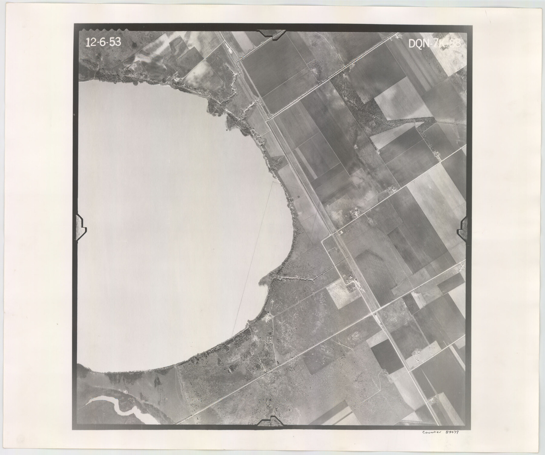
Flight Mission No. DQN-7K, Frame 88, Calhoun County
DQN-7K-88
-
Map/Doc
84479
-
Collection
General Map Collection
-
Object Dates
1953/12/6 (Creation Date)
-
People and Organizations
U. S. Department of Agriculture (Publisher)
-
Counties
Calhoun
-
Subjects
Aerial Photograph
-
Height x Width
18.5 x 22.1 inches
47.0 x 56.1 cm
-
Comments
Flown by Aero Exploration Company of Tulsa, Oklahoma.
Part of: General Map Collection
Menard County Boundary File 7

Print $6.00
- Digital $50.00
Menard County Boundary File 7
Size 10.5 x 8.1 inches
Map/Doc 57089
Tarrant County Sketch File 35

Print $50.00
Tarrant County Sketch File 35
2018
Size 11.0 x 8.5 inches
Map/Doc 95394
Young County Rolled Sketch 15

Print $20.00
- Digital $50.00
Young County Rolled Sketch 15
Size 18.0 x 22.7 inches
Map/Doc 8303
Clay County Rolled Sketch 1

Print $20.00
- Digital $50.00
Clay County Rolled Sketch 1
1940
Size 47.0 x 37.9 inches
Map/Doc 8621
Sterling County Rolled Sketch 16

Print $40.00
- Digital $50.00
Sterling County Rolled Sketch 16
1951
Size 73.6 x 43.0 inches
Map/Doc 9948
Flight Mission No. BRE-3P, Frame 36, Nueces County

Print $20.00
- Digital $50.00
Flight Mission No. BRE-3P, Frame 36, Nueces County
1956
Size 18.5 x 22.3 inches
Map/Doc 86814
Calhoun County Rolled Sketch 14

Print $20.00
- Digital $50.00
Calhoun County Rolled Sketch 14
Size 21.5 x 40.2 inches
Map/Doc 5461
Llano County Rolled Sketch 2

Print $20.00
- Digital $50.00
Llano County Rolled Sketch 2
Size 18.2 x 27.3 inches
Map/Doc 9459
Van Zandt County Sketch File 38

Print $4.00
- Digital $50.00
Van Zandt County Sketch File 38
1871
Size 8.2 x 10.1 inches
Map/Doc 39482
Montague County Working Sketch 45

Print $20.00
- Digital $50.00
Montague County Working Sketch 45
2013
Size 17.0 x 24.0 inches
Map/Doc 93649
United States - Gulf Coast - From Latitude 26° 33' to the Rio Grande Texas

Print $20.00
- Digital $50.00
United States - Gulf Coast - From Latitude 26° 33' to the Rio Grande Texas
1916
Size 27.8 x 18.2 inches
Map/Doc 72840
Reeves County Working Sketch 49

Print $20.00
- Digital $50.00
Reeves County Working Sketch 49
1974
Size 46.4 x 32.4 inches
Map/Doc 63492
You may also like
Flight Mission No. BRA-16M, Frame 143, Jefferson County

Print $20.00
- Digital $50.00
Flight Mission No. BRA-16M, Frame 143, Jefferson County
1953
Size 18.5 x 22.2 inches
Map/Doc 85749
Duval County Sketch File 58

Print $20.00
- Digital $50.00
Duval County Sketch File 58
1940
Size 18.3 x 19.0 inches
Map/Doc 11406
Milam [District]
![1948, Milam [District], General Map Collection](https://historictexasmaps.com/wmedia_w700/maps/1948.tif.jpg)
Print $40.00
- Digital $50.00
Milam [District]
1850
Size 60.8 x 46.4 inches
Map/Doc 1948
Morris County Rolled Sketch 2A

Print $20.00
- Digital $50.00
Morris County Rolled Sketch 2A
Size 24.1 x 18.9 inches
Map/Doc 10278
Duval County Sketch File 70

Print $4.00
- Digital $50.00
Duval County Sketch File 70
1953
Size 14.2 x 9.0 inches
Map/Doc 21456
Hardeman County Sketch File A1

Print $14.00
- Digital $50.00
Hardeman County Sketch File A1
1891
Size 12.7 x 8.2 inches
Map/Doc 25045
Caldwell County Working Sketch 4

Print $20.00
- Digital $50.00
Caldwell County Working Sketch 4
1922
Size 46.1 x 43.5 inches
Map/Doc 67834
Collin County

Print $20.00
- Digital $50.00
Collin County
1975
Size 43.2 x 40.1 inches
Map/Doc 73110

Harrison County Working Sketch 1

Print $20.00
- Digital $50.00
Harrison County Working Sketch 1
1919
Size 22.6 x 25.6 inches
Map/Doc 66021

Runnels County Rolled Sketch 37

Print $20.00
- Digital $50.00
Runnels County Rolled Sketch 37
Size 37.8 x 38.2 inches
Map/Doc 9870