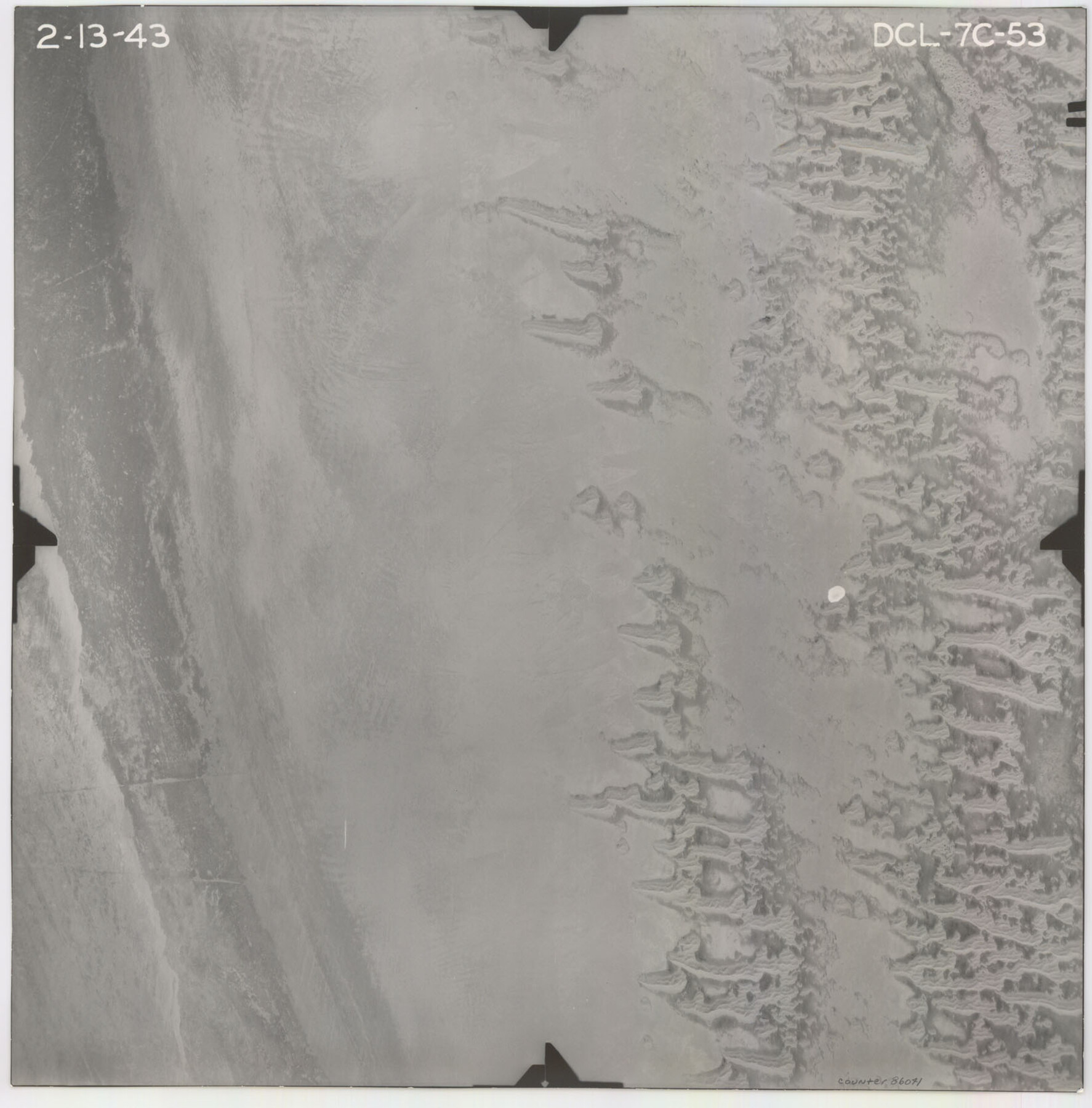
Flight Mission No. DCL-7C, Frame 53, Kenedy County
DCL-7C-53
-
Map/Doc
86041
-
Collection
General Map Collection
-
Object Dates
1943/2/13 (Creation Date)
-
People and Organizations
U. S. Department of Agriculture (Publisher)
-
Counties
Kenedy
-
Subjects
Aerial Photograph
-
Height x Width
16.7 x 16.4 inches
42.4 x 41.7 cm
-
Comments
Flown by Aerial Surveys of Pittsburgh, Inc. of Pittsburgh, Pennsylvania.
Part of: General Map Collection
Tarrant County State Real Property Sketch 2

Print $20.00
- Digital $50.00
Tarrant County State Real Property Sketch 2
1994
Size 21.3 x 27.6 inches
Map/Doc 61668
Kerr County Working Sketch 24

Print $20.00
- Digital $50.00
Kerr County Working Sketch 24
1966
Size 35.9 x 38.3 inches
Map/Doc 70055
Flight Mission No. BRA-3M, Frame 124, Jefferson County

Print $20.00
- Digital $50.00
Flight Mission No. BRA-3M, Frame 124, Jefferson County
1953
Size 18.6 x 21.4 inches
Map/Doc 85398

Northern Part of Laguna Madre

Print $20.00
- Digital $50.00
Northern Part of Laguna Madre
1982
Size 44.2 x 35.0 inches
Map/Doc 73530
United States - Gulf Coast Texas - Northern part of Laguna Madre

Print $20.00
- Digital $50.00
United States - Gulf Coast Texas - Northern part of Laguna Madre
1941
Size 18.3 x 24.0 inches
Map/Doc 72937
Red River County Working Sketch 69

Print $20.00
- Digital $50.00
Red River County Working Sketch 69
1975
Size 23.7 x 19.1 inches
Map/Doc 72052
Maps of Gulf Intracoastal Waterway, Texas - Sabine River to the Rio Grande and connecting waterways including ship channels

Print $20.00
- Digital $50.00
Maps of Gulf Intracoastal Waterway, Texas - Sabine River to the Rio Grande and connecting waterways including ship channels
1966
Size 14.6 x 22.2 inches
Map/Doc 61939
Panola County Sketch File 21

Print $10.00
- Digital $50.00
Panola County Sketch File 21
Size 11.2 x 8.7 inches
Map/Doc 33487
Travis County Working Sketch 7

Print $2.00
- Digital $50.00
Travis County Working Sketch 7
1913
Size 10.9 x 8.2 inches
Map/Doc 69391
Pecos County Sketch File 99

Print $16.00
- Digital $50.00
Pecos County Sketch File 99
Size 11.2 x 8.8 inches
Map/Doc 34004
Current Miscellaneous File 32

Print $12.00
- Digital $50.00
Current Miscellaneous File 32
Size 11.0 x 8.7 inches
Map/Doc 73933
You may also like
Nueces County Rolled Sketch 82

Print $43.00
Nueces County Rolled Sketch 82
1982
Size 18.6 x 25.0 inches
Map/Doc 6961
Atascosa County

Print $20.00
- Digital $50.00
Atascosa County
1862
Size 29.8 x 25.2 inches
Map/Doc 3248
Brazos Santiago, Texas

Print $20.00
- Digital $50.00
Brazos Santiago, Texas
1882
Size 18.3 x 26.1 inches
Map/Doc 72987
Map of San Patricio County

Print $20.00
- Digital $50.00
Map of San Patricio County
1883
Size 17.2 x 26.8 inches
Map/Doc 4017
General Highway Map, Hemphill County, Texas

Print $20.00
General Highway Map, Hemphill County, Texas
1940
Size 18.2 x 24.8 inches
Map/Doc 79124
Bee County Sketch File 32

Print $4.00
- Digital $50.00
Bee County Sketch File 32
Size 7.9 x 12.6 inches
Map/Doc 14347
[Plat of Trinity River w/ Midstream Profile in Liberty County by US Government 1899]
![65336, [Plat of Trinity River w/ Midstream Profile in Liberty County by US Government 1899], General Map Collection](https://historictexasmaps.com/wmedia_w700/maps/65336.tif.jpg)
Print $20.00
- Digital $50.00
[Plat of Trinity River w/ Midstream Profile in Liberty County by US Government 1899]
1899
Size 10.8 x 18.3 inches
Map/Doc 65336
Hood County Sketch File 6

Print $4.00
- Digital $50.00
Hood County Sketch File 6
Size 7.2 x 6.1 inches
Map/Doc 26579
Navarro County Working Sketch 7

Print $20.00
- Digital $50.00
Navarro County Working Sketch 7
1950
Size 28.2 x 23.4 inches
Map/Doc 71237
Gulf of Mexico

Print $20.00
- Digital $50.00
Gulf of Mexico
1905
Size 18.2 x 26.8 inches
Map/Doc 72651
Harris County Sketch File 106

Print $80.00
- Digital $50.00
Harris County Sketch File 106
1995
Size 11.3 x 8.8 inches
Map/Doc 25975
Section D Tech Memorial Park, Inc.

Print $20.00
- Digital $50.00
Section D Tech Memorial Park, Inc.
Size 19.0 x 20.5 inches
Map/Doc 92300