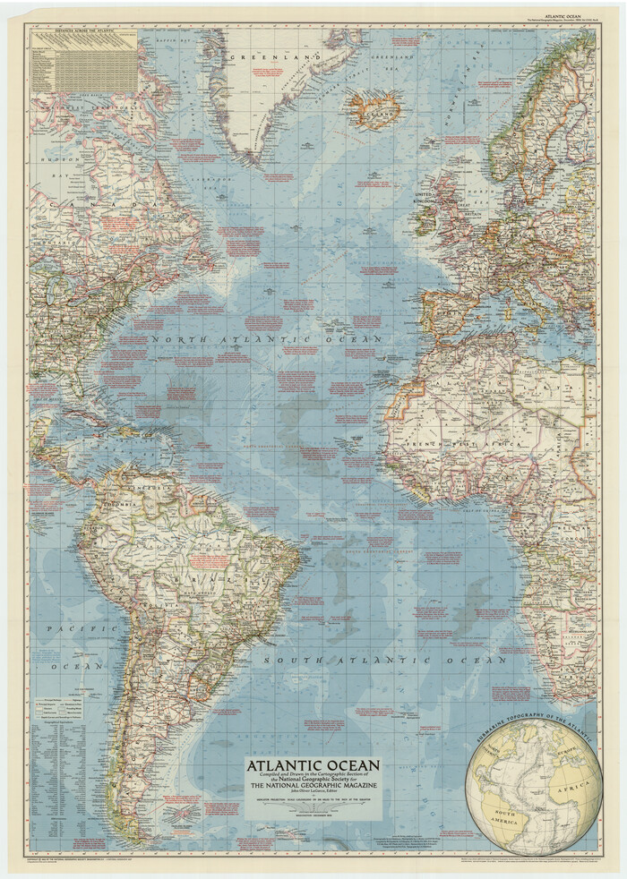
[Leagues 27, 28, 69, 70, 71, 72, and 73]
110-25
-
Map/Doc
91097
-
Collection
Twichell Survey Records
-
Counties
Hockley
-
Height x Width
23.8 x 16.3 inches
60.5 x 41.4 cm
Part of: Twichell Survey Records
[Sketch showing elevation between College Heights and Miller-Stevens Subdivision along Lincoln Ave.]
![92881, [Sketch showing elevation between College Heights and Miller-Stevens Subdivision along Lincoln Ave.], Twichell Survey Records](https://historictexasmaps.com/wmedia_w700/maps/92881-1.tif.jpg)
![92881, [Sketch showing elevation between College Heights and Miller-Stevens Subdivision along Lincoln Ave.], Twichell Survey Records](https://historictexasmaps.com/wmedia_w700/maps/92881-1.tif.jpg)
Print $20.00
- Digital $50.00
[Sketch showing elevation between College Heights and Miller-Stevens Subdivision along Lincoln Ave.]
Size 15.7 x 13.8 inches
Map/Doc 92881
S. Part of Gomez


Print $20.00
- Digital $50.00
S. Part of Gomez
Size 23.5 x 19.6 inches
Map/Doc 92295
[East line of Lipscomb County along Oklahoma]
![89823, [East line of Lipscomb County along Oklahoma], Twichell Survey Records](https://historictexasmaps.com/wmedia_w700/maps/89823-1.tif.jpg)
![89823, [East line of Lipscomb County along Oklahoma], Twichell Survey Records](https://historictexasmaps.com/wmedia_w700/maps/89823-1.tif.jpg)
Print $40.00
- Digital $50.00
[East line of Lipscomb County along Oklahoma]
Size 9.9 x 69.1 inches
Map/Doc 89823
Selected List of Wells accompanying Map of Wyoming showing Test Wells for Oil and Gas, Anticlinal Axes, Oil and Gas Fields, Pipelines, Unit Areas, and Land 3 District Boundaries, 1949


Print $20.00
- Digital $50.00
Selected List of Wells accompanying Map of Wyoming showing Test Wells for Oil and Gas, Anticlinal Axes, Oil and Gas Fields, Pipelines, Unit Areas, and Land 3 District Boundaries, 1949
1949
Size 26.2 x 41.5 inches
Map/Doc 89690
Map Showing Soash Lands in Castro, Lamb, and Hale Counties, Texas


Print $20.00
- Digital $50.00
Map Showing Soash Lands in Castro, Lamb, and Hale Counties, Texas
1907
Size 13.9 x 17.6 inches
Map/Doc 91000
Conoco Official Road Map New Mexico


Print $20.00
- Digital $50.00
Conoco Official Road Map New Mexico
1934
Size 18.5 x 24.5 inches
Map/Doc 92437
Gaines County Sketch
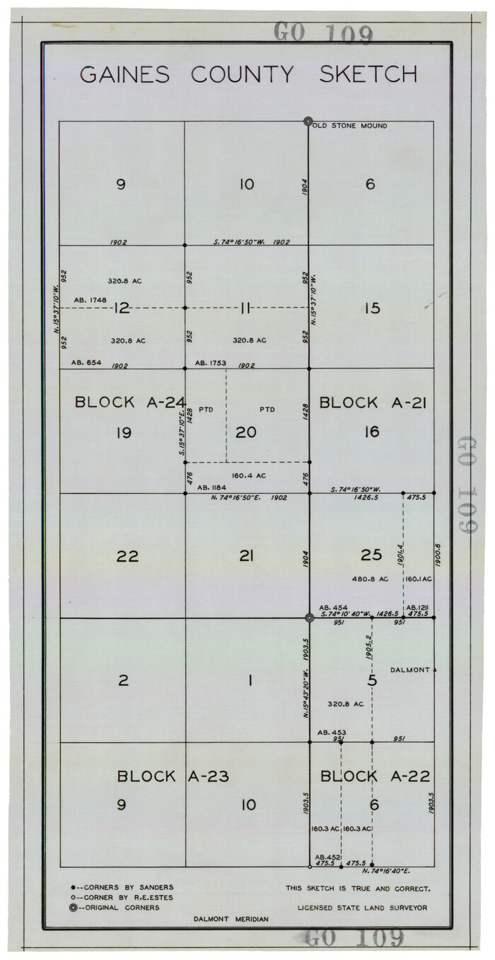

Print $20.00
- Digital $50.00
Gaines County Sketch
Size 9.7 x 18.5 inches
Map/Doc 92668
Bush-Hills-Addition, Subdivision of Section 9, Block 11 for W. H. Bush, Esq. Chicago
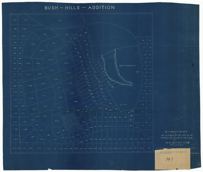

Print $20.00
- Digital $50.00
Bush-Hills-Addition, Subdivision of Section 9, Block 11 for W. H. Bush, Esq. Chicago
Size 19.1 x 16.1 inches
Map/Doc 92110
[Sketch around Falls County School Land and surveys to South]
![91886, [Sketch around Falls County School Land and surveys to South], Twichell Survey Records](https://historictexasmaps.com/wmedia_w700/maps/91886-1.tif.jpg)
![91886, [Sketch around Falls County School Land and surveys to South], Twichell Survey Records](https://historictexasmaps.com/wmedia_w700/maps/91886-1.tif.jpg)
Print $20.00
- Digital $50.00
[Sketch around Falls County School Land and surveys to South]
1894
Size 13.1 x 12.1 inches
Map/Doc 91886
[E. L. & R. R. Block 10]
![91353, [E. L. & R. R. Block 10], Twichell Survey Records](https://historictexasmaps.com/wmedia_w700/maps/91353-1.tif.jpg)
![91353, [E. L. & R. R. Block 10], Twichell Survey Records](https://historictexasmaps.com/wmedia_w700/maps/91353-1.tif.jpg)
Print $20.00
- Digital $50.00
[E. L. & R. R. Block 10]
Size 25.3 x 16.5 inches
Map/Doc 91353
Grimes Estate Lands, Cochran County, Texas


Print $20.00
- Digital $50.00
Grimes Estate Lands, Cochran County, Texas
Size 25.6 x 21.6 inches
Map/Doc 92520
You may also like
Starr County Rolled Sketch 35


Print $20.00
- Digital $50.00
Starr County Rolled Sketch 35
1925
Size 40.1 x 12.8 inches
Map/Doc 7832
Matagorda County NRC Article 33.136 Sketch 15


Print $42.00
- Digital $50.00
Matagorda County NRC Article 33.136 Sketch 15
Size 23.8 x 35.9 inches
Map/Doc 95739
Nueces County Sketch File 12b


Print $8.00
- Digital $50.00
Nueces County Sketch File 12b
1889
Size 14.2 x 8.8 inches
Map/Doc 32530
Cooke County Working Sketch 30


Print $20.00
- Digital $50.00
Cooke County Working Sketch 30
1979
Size 26.6 x 28.4 inches
Map/Doc 68267
Terry County Sketch File 9


Print $4.00
- Digital $50.00
Terry County Sketch File 9
1917
Size 14.4 x 8.8 inches
Map/Doc 38032
Bell County Working Sketch 8


Print $20.00
- Digital $50.00
Bell County Working Sketch 8
1954
Size 44.2 x 37.3 inches
Map/Doc 67348
Uvalde County Rolled Sketch 15


Print $20.00
- Digital $50.00
Uvalde County Rolled Sketch 15
1979
Size 26.9 x 23.9 inches
Map/Doc 8099
Flight Mission No. CRC-2R, Frame 109, Chambers County
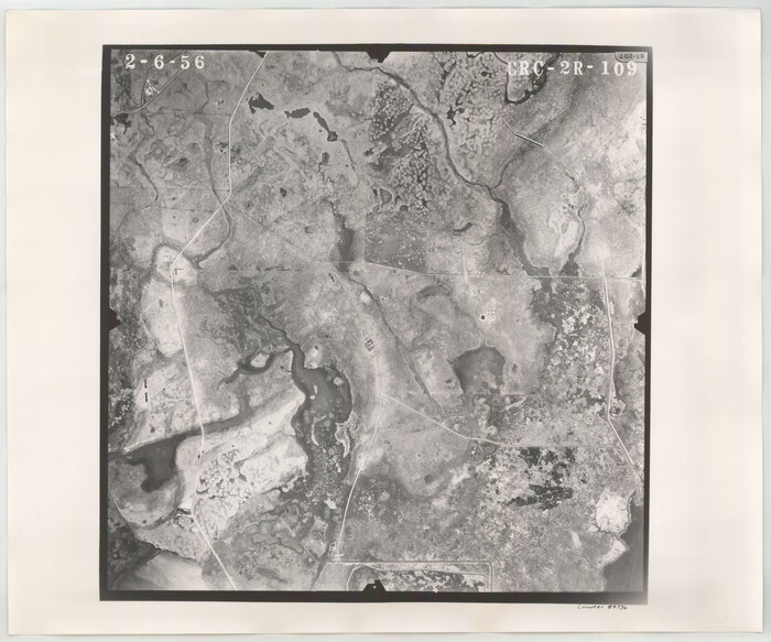

Print $20.00
- Digital $50.00
Flight Mission No. CRC-2R, Frame 109, Chambers County
1956
Size 18.6 x 22.3 inches
Map/Doc 84736
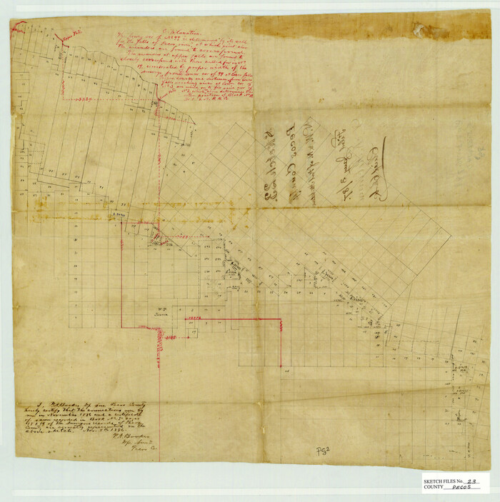
Pecos County Sketch File 23

Print $20.00
- Digital $50.00
Pecos County Sketch File 23
1886
Size 18.0 x 18.0 inches
Map/Doc 12162
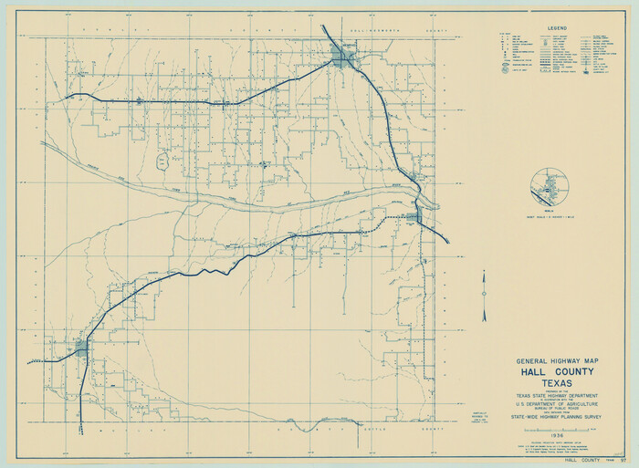
General Highway Map, Hall County, Texas

Print $20.00
General Highway Map, Hall County, Texas
1940
Size 18.3 x 25.0 inches
Map/Doc 79110
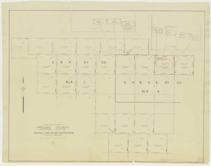
Presidio County Working Sketch 30

Print $20.00
- Digital $50.00
Presidio County Working Sketch 30
1946
Size 32.3 x 40.9 inches
Map/Doc 71707
![91097, [Leagues 27, 28, 69, 70, 71, 72, and 73], Twichell Survey Records](https://historictexasmaps.com/wmedia_w1800h1800/maps/91097-1.tif.jpg)
