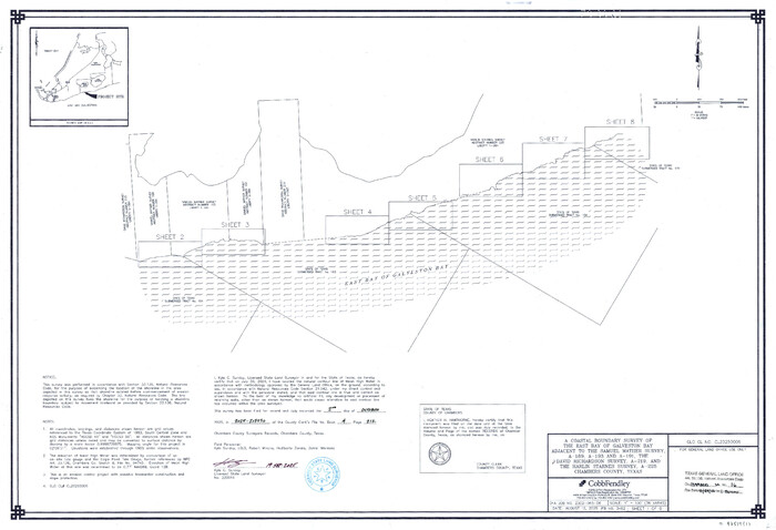
Chambers County NRC Article 33.136 Sketch 16
2025

Chambers County NRC Article 33.136 Sketch 15
2025
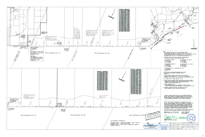
Jefferson County NRC Article 33.136 Sketch 14
2021

Chambers County NRC Article 33.136 Sketch 12
2020
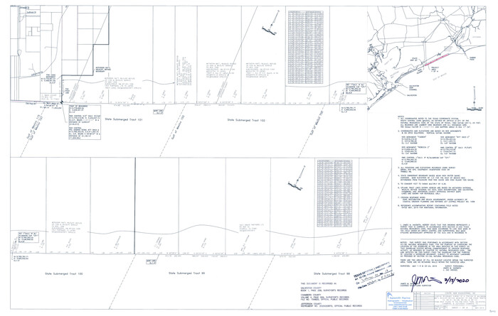
Jefferson County NRC Article 33.136 Sketch 13
2019

Chambers County NRC Article 33.136 Sketch 11
2014

Harris County NRC Article 33.136 Sketch 19
2014

Chambers County NRC Article 33.136 Sketch 10
2014

Chambers County NRC Article 33.136 Sketch 8
2014
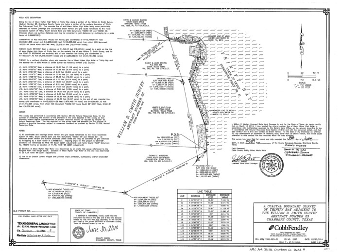
Chambers County NRC Article 33.136 Sketch 9
2014
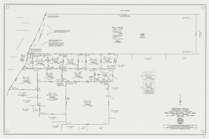
Chambers County Working Sketch 30
2012
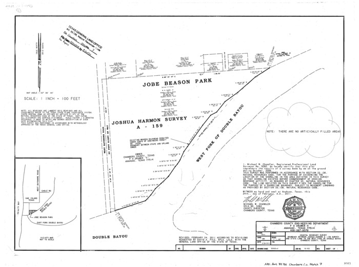
Chambers County NRC Article 33.136 Sketch 7
2011
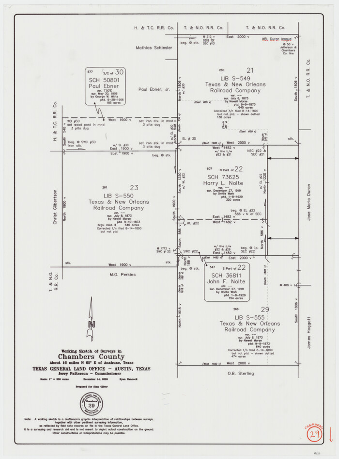
Chambers County Working Sketch 29
2009

Chambers County NRC Article 33.136 Sketch 6
2007
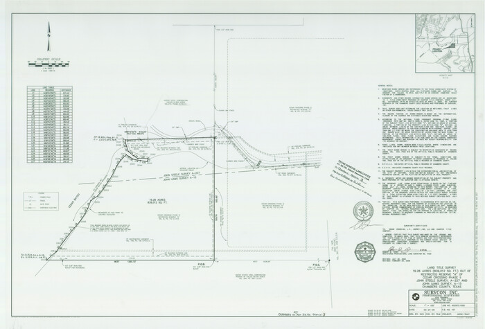
Chambers County NRC Article 33.136 Sketch 3
2005
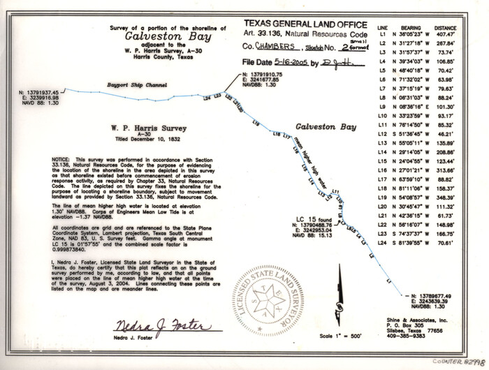
Chambers County NRC Article 33.136 Sketch 2
2004
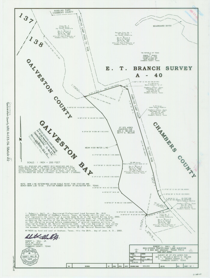
Chambers County NRC Article 33.136 Sketch 5
2003
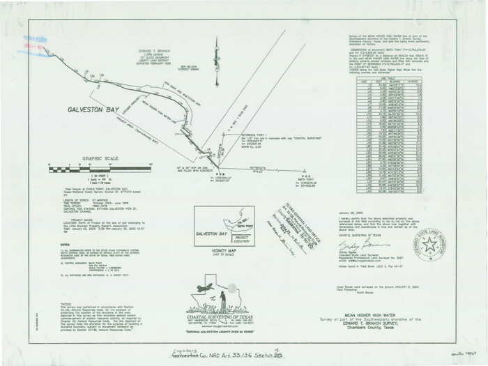
Chambers County NRC Article 33.136 Sketch 4
2003
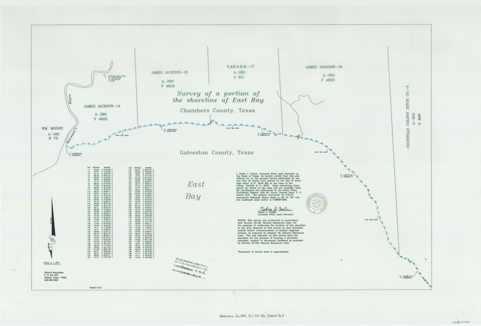
Chambers County NRC Article 33.136 Sketch 1
2002
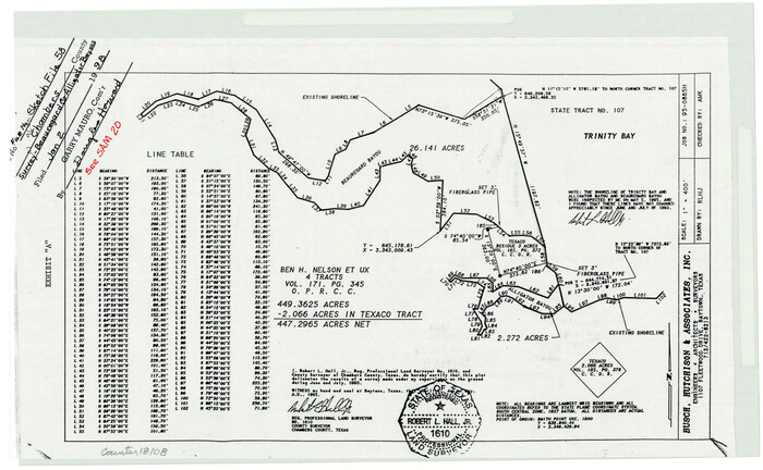
Chambers County Sketch File 58
1995

Houston Ship Channel, Atkinson Island to Alexander Island
1992

Upper Galveston Bay, Houston Ship Channel, Dollar Pt. to Atkinson I.
1992
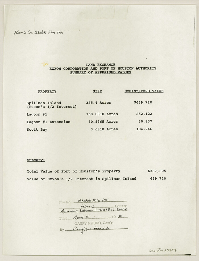
Harris County Sketch File 100
1991

Mississippi River to Galveston
1986

Chambers County NRC Article 33.136 Location Key Sheet
1983

Sabine Bank to East Bay including Heald Bank
1982
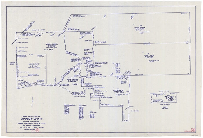
Chambers County Working Sketch 28
1982
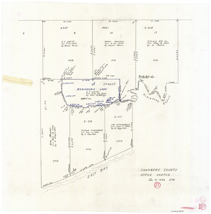
Chambers County Working Sketch 27
1982

Chambers County NRC Article 33.136 Sketch 16
2025
-
Map/Doc
97514
-
Creation Date
2025

Chambers County NRC Article 33.136 Sketch 15
2025
-
Map/Doc
97510
-
Creation Date
2025

Jefferson County NRC Article 33.136 Sketch 14
2021
-
Map/Doc
96645
-
Creation Date
2021

Chambers County NRC Article 33.136 Sketch 12
2020
-
Size
24.0 x 35.9 inches
-
Map/Doc
96441
-
Creation Date
2020

Jefferson County NRC Article 33.136 Sketch 13
2019
-
Size
22.2 x 35.0 inches
-
Map/Doc
96447
-
Creation Date
2019

Chambers County NRC Article 33.136 Sketch 11
2014
-
Size
24.0 x 36.0 inches
-
Map/Doc
94740
-
Creation Date
2014

Harris County NRC Article 33.136 Sketch 19
2014
-
Size
24.6 x 36.6 inches
-
Map/Doc
95334
-
Creation Date
2014

Chambers County NRC Article 33.136 Sketch 10
2014
-
Size
24.0 x 36.0 inches
-
Map/Doc
94498
-
Creation Date
2014

Chambers County NRC Article 33.136 Sketch 8
2014
-
Size
17.7 x 24.0 inches
-
Map/Doc
94745
-
Creation Date
2014

Chambers County NRC Article 33.136 Sketch 9
2014
-
Size
17.7 x 24.0 inches
-
Map/Doc
94747
-
Creation Date
2014

Chambers County Working Sketch 30
2012
-
Size
29.2 x 43.9 inches
-
Map/Doc
93400
-
Creation Date
2012

Chambers County NRC Article 33.136 Sketch 7
2011
-
Size
18.0 x 24.0 inches
-
Map/Doc
94753
-
Creation Date
2011

Chambers County Working Sketch 29
2009
-
Size
25.2 x 18.6 inches
-
Map/Doc
89232
-
Creation Date
2009

Chambers County NRC Article 33.136 Sketch 6
2007
-
Size
11.0 x 8.5 inches
-
Map/Doc
88802
-
Creation Date
2007

Chambers County NRC Article 33.136 Sketch 3
2005
-
Size
25.0 x 36.8 inches
-
Map/Doc
83595
-
Creation Date
2005

Chambers County NRC Article 33.136 Sketch 2
2004
-
Size
8.2 x 10.8 inches
-
Map/Doc
82998
-
Creation Date
2004

Chambers County NRC Article 33.136 Sketch 5
2003
-
Size
24.2 x 18.3 inches
-
Map/Doc
78608
-
Creation Date
2003

Chambers County NRC Article 33.136 Sketch 4
2003
-
Size
18.2 x 24.3 inches
-
Map/Doc
78569
-
Creation Date
2003

Chambers County NRC Article 33.136 Sketch 1
2002
-
Size
24.6 x 36.2 inches
-
Map/Doc
77041
-
Creation Date
2002

Chambers County Sketch File 58
1995
-
Size
9.1 x 14.7 inches
-
Map/Doc
18108
-
Creation Date
1995
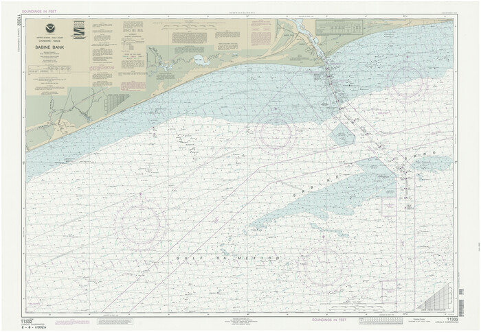
Sabine Bank
1992
-
Size
34.1 x 48.4 inches
-
Map/Doc
69854
-
Creation Date
1992

Houston Ship Channel, Atkinson Island to Alexander Island
1992
-
Size
37.1 x 54.3 inches
-
Map/Doc
69904
-
Creation Date
1992

Upper Galveston Bay, Houston Ship Channel, Dollar Pt. to Atkinson I.
1992
-
Size
49.2 x 37.0 inches
-
Map/Doc
69899
-
Creation Date
1992

Harris County Sketch File 100
1991
-
Size
11.5 x 8.8 inches
-
Map/Doc
25674
-
Creation Date
1991

Sabine Bank
1990
-
Size
35.7 x 48.6 inches
-
Map/Doc
69853
-
Creation Date
1990

Mississippi River to Galveston
1986
-
Size
36.8 x 49.9 inches
-
Map/Doc
69948
-
Creation Date
1986

Chambers County NRC Article 33.136 Location Key Sheet
1983
-
Size
24.0 x 44.0 inches
-
Map/Doc
77014
-
Creation Date
1983

Sabine Bank to East Bay including Heald Bank
1982
-
Size
44.8 x 34.3 inches
-
Map/Doc
69852
-
Creation Date
1982

Chambers County Working Sketch 28
1982
-
Size
28.7 x 42.3 inches
-
Map/Doc
68011
-
Creation Date
1982

Chambers County Working Sketch 27
1982
-
Size
24.9 x 25.2 inches
-
Map/Doc
68010
-
Creation Date
1982