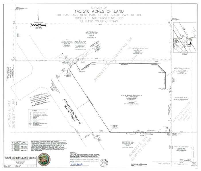
El Paso County Rolled Sketch 66
2014
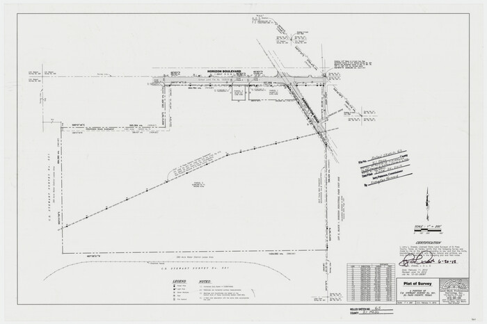
El Paso County Rolled Sketch 65
2012
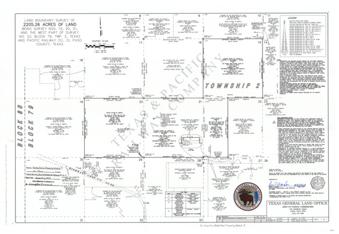
El Paso County State Real Property Sketch 3
2012

El Paso County State Real Property Sketch 4
2012
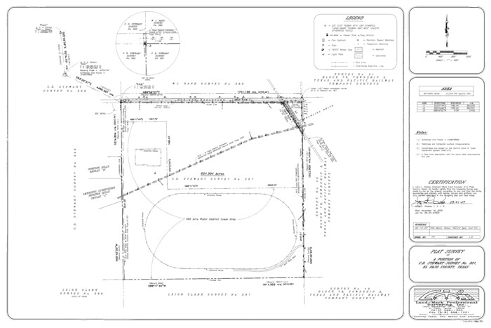
El Paso County State Real Property Sketch 1
2007
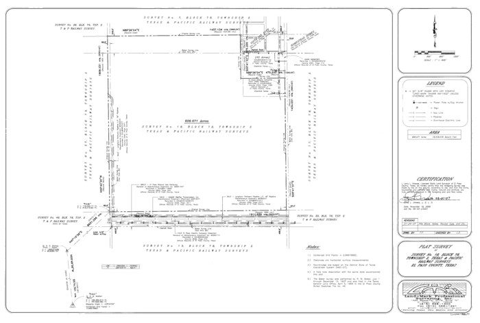
El Paso County State Real Property Sketch 2
2007

El Paso County Working Sketch 59
2000

El Paso County Rolled Sketch 63
1996

El Paso County Sketch File 42
1996
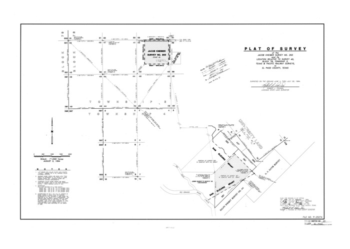
El Paso County Rolled Sketch 61
1994

El Paso County Sketch File 41
1994

El Paso County Rolled Sketch 64
1993

El Paso County Working Sketch 40
1992
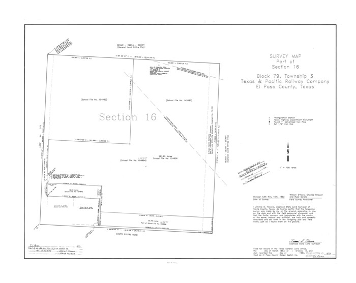
El Paso County Rolled Sketch 60
1992

El Paso County Working Sketch 55
1992

Hudspeth County Working Sketch 56
1992
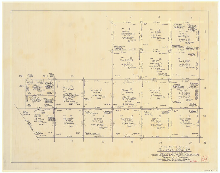
El Paso County Working Sketch 53
1992

El Paso County Working Sketch 44
1992
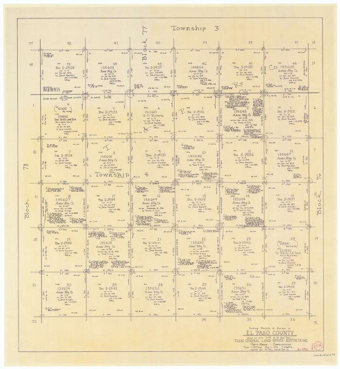
El Paso County Working Sketch 54
1992
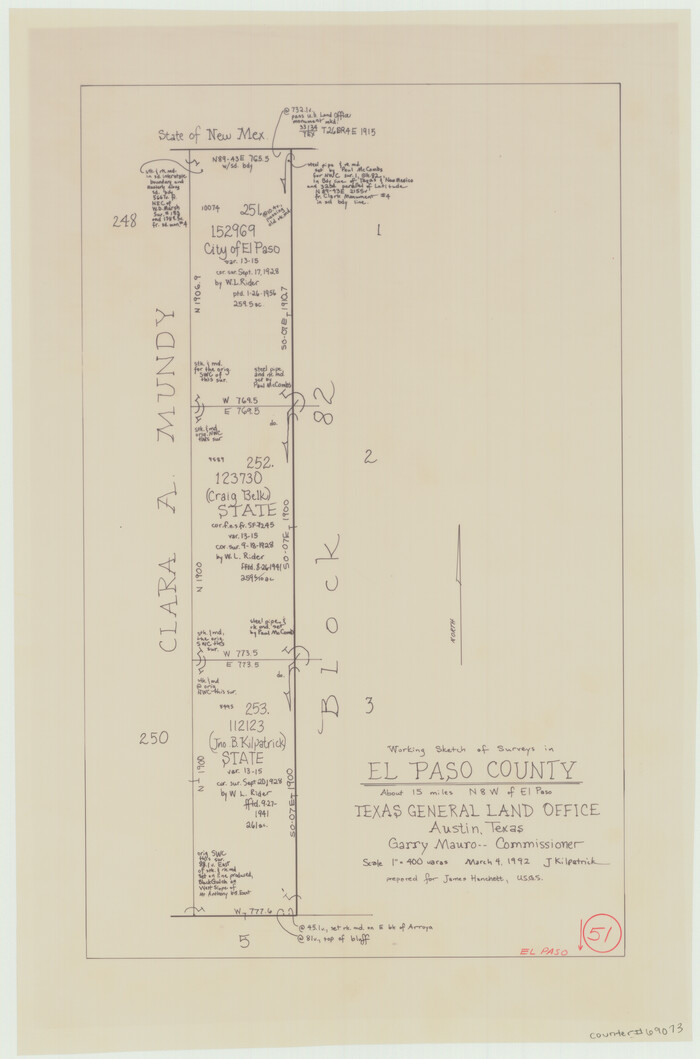
El Paso County Working Sketch 51
1992
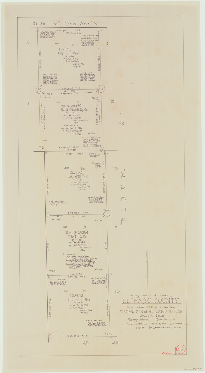
El Paso County Working Sketch 52
1992
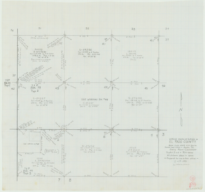
El Paso County Working Sketch 50
1991
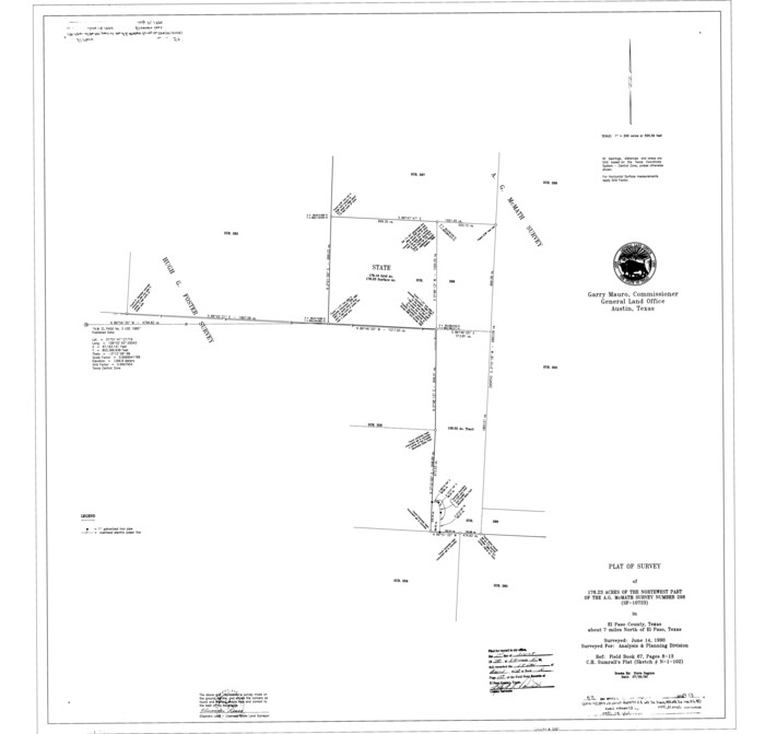
El Paso County Rolled Sketch 59
1990
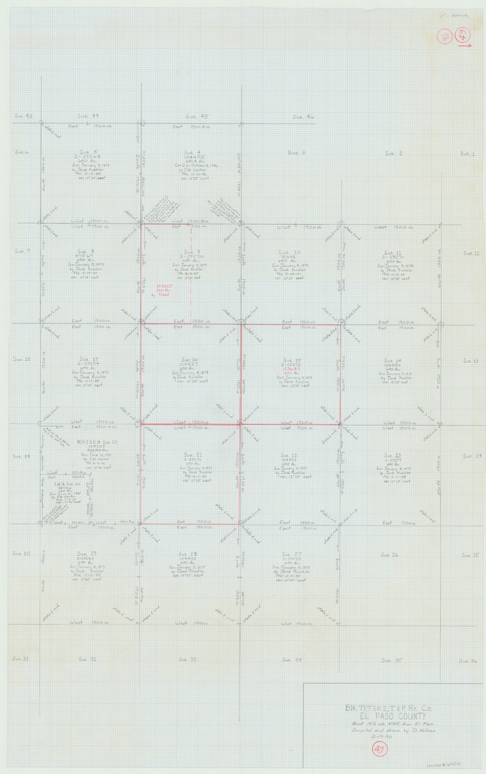
El Paso County Working Sketch 49
1990
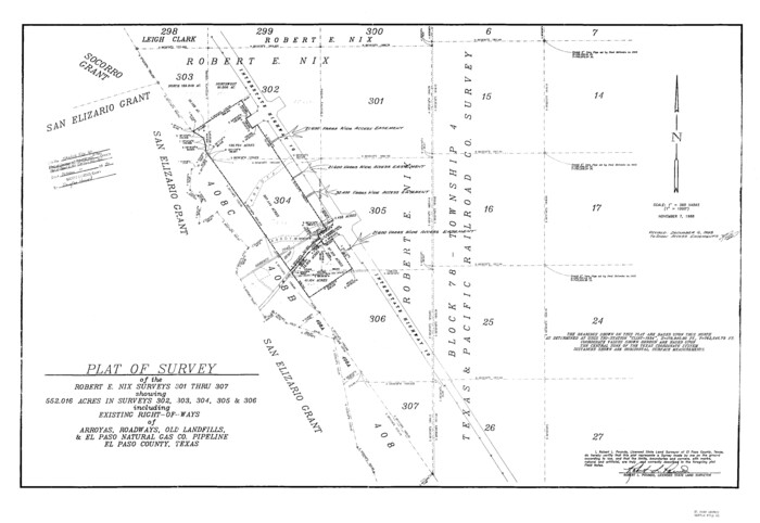
El Paso County Sketch File 40
1988
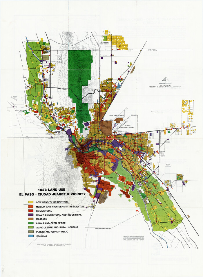
1988 Land Use - El Paso, Ciudad Juarez and Vicinity
1988

1988 Land Use - El Paso, Ciudad Juarez and Vicinity
1988

El Paso County Sketch File 37
1987

El Paso County Sketch File 38
1987
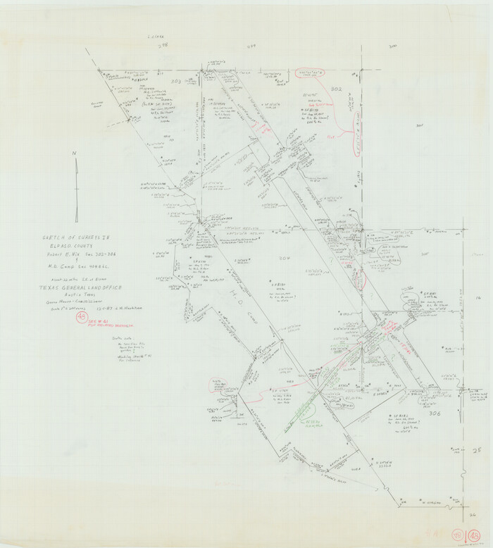
El Paso County Working Sketch 48
1987

El Paso County Rolled Sketch 66
2014
-
Size
35.1 x 41.2 inches
-
Map/Doc
93712
-
Creation Date
2014

El Paso County Rolled Sketch 65
2012
-
Size
24.5 x 36.8 inches
-
Map/Doc
93327
-
Creation Date
2012

El Paso County State Real Property Sketch 3
2012
-
Size
25.1 x 36.4 inches
-
Map/Doc
93700
-
Creation Date
2012

El Paso County State Real Property Sketch 4
2012
-
Size
29.9 x 35.9 inches
-
Map/Doc
93701
-
Creation Date
2012

El Paso County State Real Property Sketch 1
2007
-
Size
24.1 x 36.2 inches
-
Map/Doc
88670
-
Creation Date
2007

El Paso County State Real Property Sketch 2
2007
-
Size
24.4 x 36.2 inches
-
Map/Doc
88671
-
Creation Date
2007

El Paso County Working Sketch 59
2000
-
Size
28.1 x 35.7 inches
-
Map/Doc
69081
-
Creation Date
2000

El Paso County Rolled Sketch 63
1996
-
Size
24.7 x 36.8 inches
-
Map/Doc
5855
-
Creation Date
1996

El Paso County Sketch File 42
1996
-
Size
14.3 x 8.9 inches
-
Map/Doc
22241
-
Creation Date
1996

El Paso County Rolled Sketch 61
1994
-
Size
27.8 x 39.0 inches
-
Map/Doc
5853
-
Creation Date
1994

El Paso County Sketch File 41
1994
-
Size
11.4 x 8.8 inches
-
Map/Doc
22238
-
Creation Date
1994

El Paso County Rolled Sketch 64
1993
-
Size
11.3 x 8.7 inches
-
Map/Doc
41531
-
Creation Date
1993

El Paso County Working Sketch 40
1992
-
Size
21.5 x 24.0 inches
-
Map/Doc
69062
-
Creation Date
1992

El Paso County Rolled Sketch 60
1992
-
Size
29.0 x 36.5 inches
-
Map/Doc
5852
-
Creation Date
1992

El Paso County Working Sketch 55
1992
-
Size
44.2 x 36.3 inches
-
Map/Doc
69077
-
Creation Date
1992

Hudspeth County Working Sketch 56
1992
-
Size
40.7 x 31.1 inches
-
Map/Doc
66341
-
Creation Date
1992

El Paso County Working Sketch 53
1992
-
Size
22.8 x 28.9 inches
-
Map/Doc
69075
-
Creation Date
1992

El Paso County Working Sketch 44
1992
-
Size
25.6 x 25.4 inches
-
Map/Doc
69066
-
Creation Date
1992

El Paso County Working Sketch 54
1992
-
Size
31.5 x 29.0 inches
-
Map/Doc
69076
-
Creation Date
1992

El Paso County Working Sketch 51
1992
-
Size
19.7 x 13.0 inches
-
Map/Doc
69073
-
Creation Date
1992

El Paso County Working Sketch 52
1992
-
Size
29.1 x 16.1 inches
-
Map/Doc
69074
-
Creation Date
1992

El Paso County Working Sketch 50
1991
-
Size
25.9 x 27.7 inches
-
Map/Doc
69072
-
Creation Date
1991

El Paso County Rolled Sketch 59
1990
-
Size
34.5 x 36.0 inches
-
Map/Doc
8881
-
Creation Date
1990

El Paso County Working Sketch 49
1990
-
Size
36.8 x 23.1 inches
-
Map/Doc
69071
-
Creation Date
1990

El Paso County Sketch File 40
1988
-
Size
24.8 x 35.9 inches
-
Map/Doc
11461
-
Creation Date
1988

1988 Land Use - El Paso, Ciudad Juarez and Vicinity
1988
-
Size
34.2 x 25.1 inches
-
Map/Doc
87369
-
Creation Date
1988

1988 Land Use - El Paso, Ciudad Juarez and Vicinity
1988
-
Size
34.1 x 25.0 inches
-
Map/Doc
87370
-
Creation Date
1988

El Paso County Sketch File 37
1987
-
Size
14.4 x 9.1 inches
-
Map/Doc
22221
-
Creation Date
1987

El Paso County Sketch File 38
1987
-
Size
14.3 x 8.9 inches
-
Map/Doc
22223
-
Creation Date
1987

El Paso County Working Sketch 48
1987
-
Size
32.7 x 29.4 inches
-
Map/Doc
69070
-
Creation Date
1987