
Andrews County Rolled Sketch 42
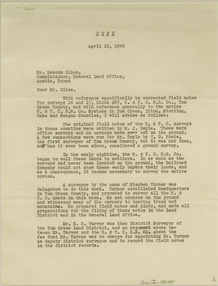
Coke County Sketch File 32
1949
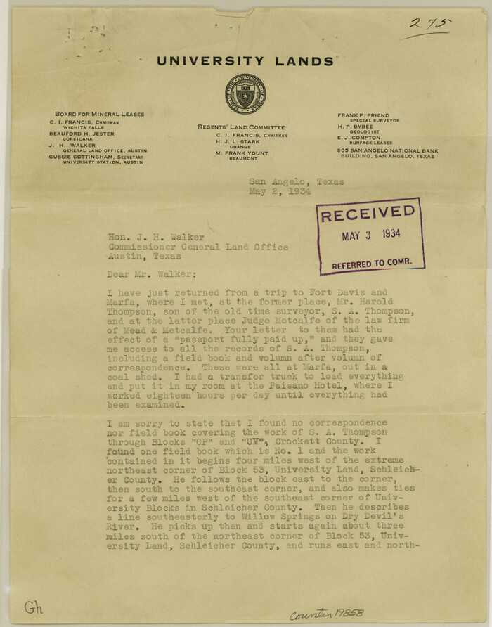
Crockett County Sketch File 71
1934
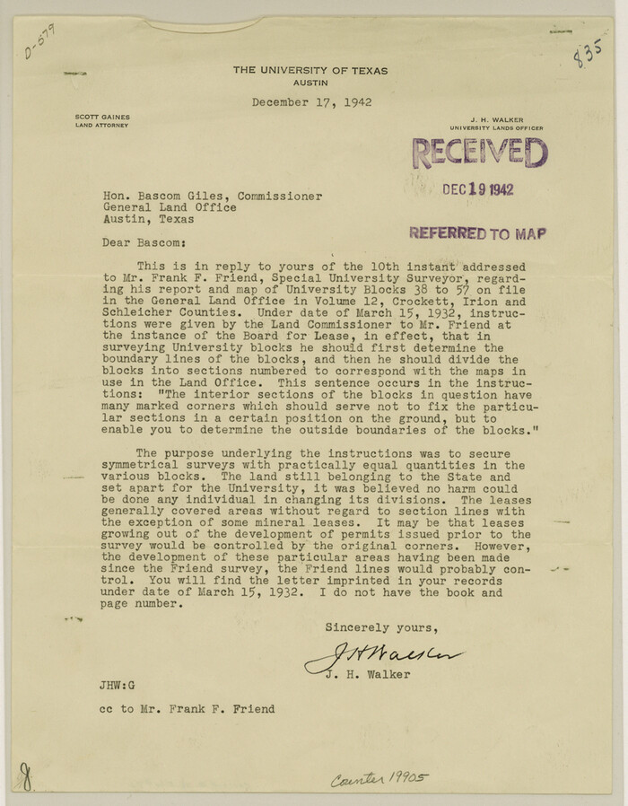
Crockett County Sketch File 84
1942
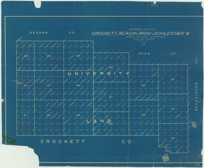
Crockett County Working Sketch 33
1926
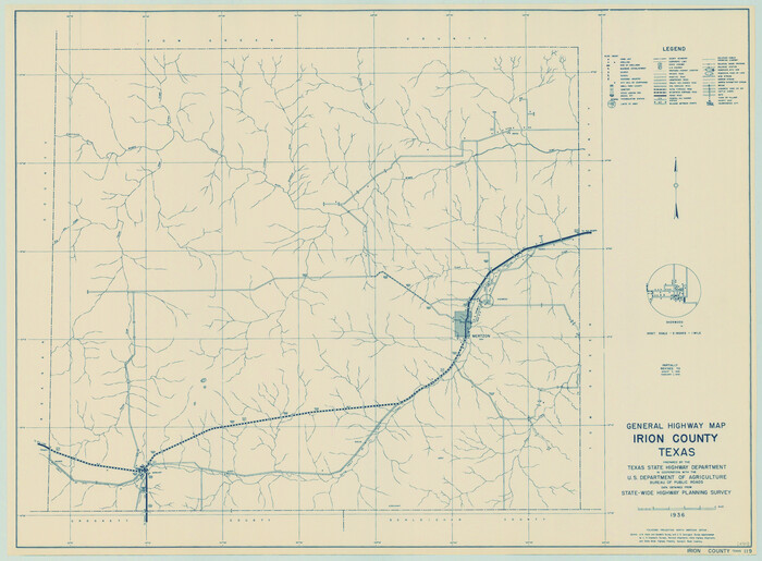
General Highway Map, Irion County, Texas
1940

General Highway Map, Irion County, Texas
1961
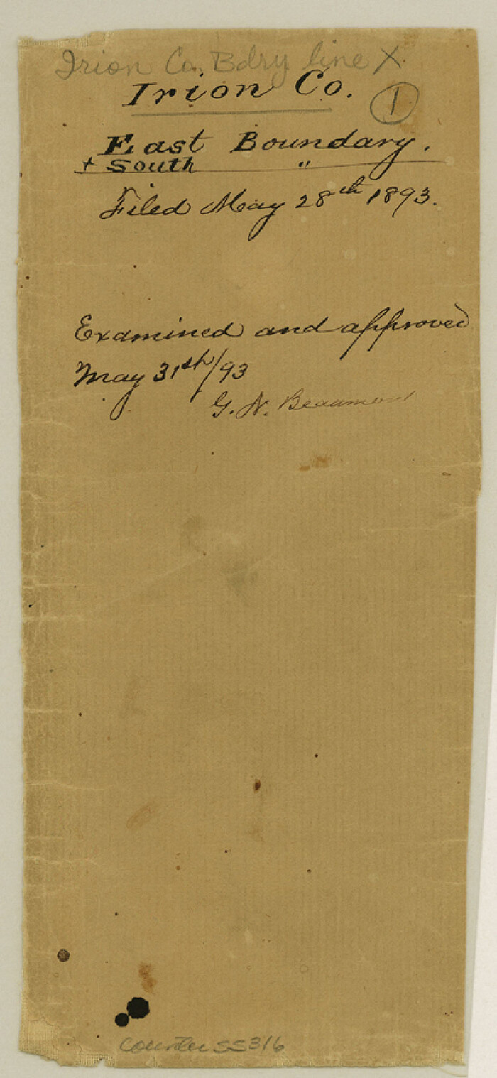
Irion County Boundary File 1

Irion County Boundary File 1a
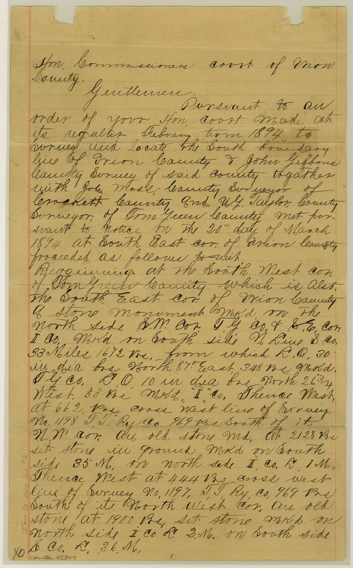
Irion County Boundary File 2

Irion County Boundary File 3

Irion County Boundary File 3a

Irion County Boundary File 4

Irion County Boundary File 4a
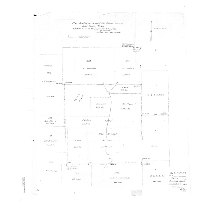
Irion County Rolled Sketch 10
1942
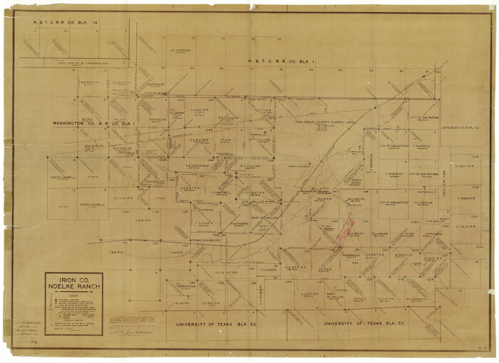
Irion County Rolled Sketch 11
1945

Irion County Rolled Sketch 12
1945
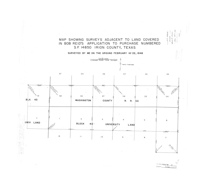
Irion County Rolled Sketch 13
1948
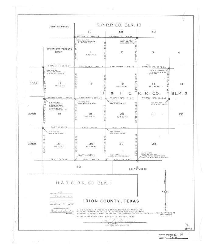
Irion County Rolled Sketch 14
1946
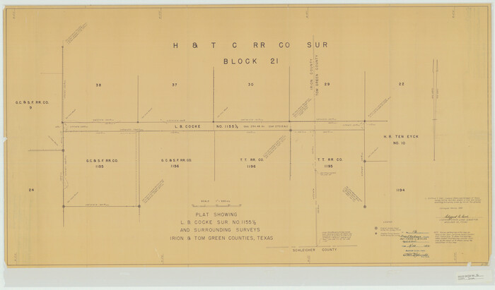
Irion County Rolled Sketch 16
1952
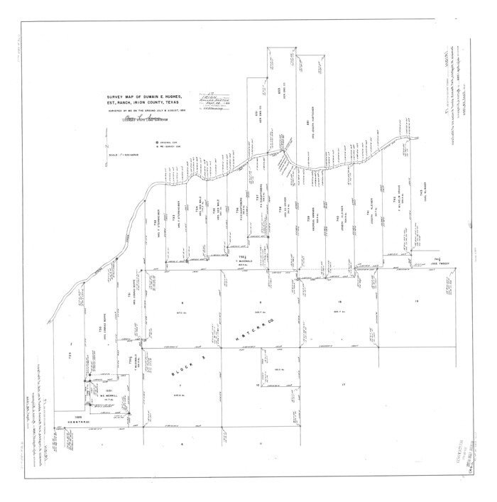
Irion County Rolled Sketch 17
1956
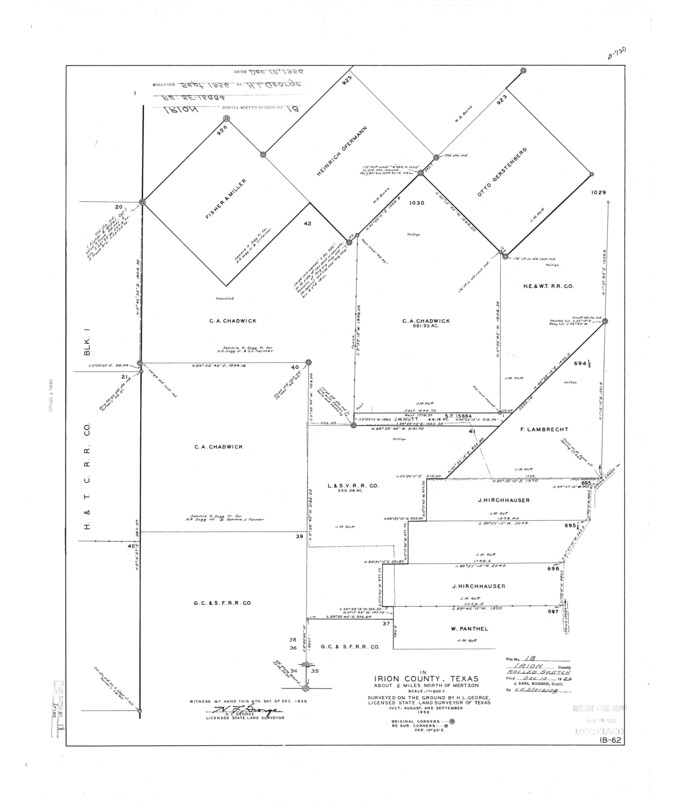
Irion County Rolled Sketch 18
1956

Andrews County Rolled Sketch 42
-
Size
27.3 x 36.0 inches
-
Map/Doc
77182

Coke County Sketch File 32
1949
-
Size
11.1 x 8.5 inches
-
Map/Doc
18645
-
Creation Date
1949

Crockett County Sketch File 71
1934
-
Size
11.2 x 8.8 inches
-
Map/Doc
19858
-
Creation Date
1934

Crockett County Sketch File 84
1942
-
Size
11.4 x 8.9 inches
-
Map/Doc
19905
-
Creation Date
1942

Crockett County Working Sketch 33
1926
-
Size
27.0 x 32.8 inches
-
Map/Doc
68366
-
Creation Date
1926

General Highway Map, Irion County, Texas
1940
-
Size
18.3 x 24.8 inches
-
Map/Doc
79138
-
Creation Date
1940

General Highway Map, Irion County, Texas
1961
-
Size
18.2 x 24.5 inches
-
Map/Doc
79531
-
Creation Date
1961

Irion County
1944
-
Size
45.3 x 42.9 inches
-
Map/Doc
1864
-
Creation Date
1944

Irion County
1889
-
Size
21.5 x 22.0 inches
-
Map/Doc
3698
-
Creation Date
1889

Irion County
1889
-
Size
20.0 x 19.3 inches
-
Map/Doc
4570
-
Creation Date
1889

Irion County
1893
-
Size
42.3 x 38.2 inches
-
Map/Doc
4987
-
Creation Date
1893

Irion County
1893
-
Size
45.1 x 38.7 inches
-
Map/Doc
66876
-
Creation Date
1893
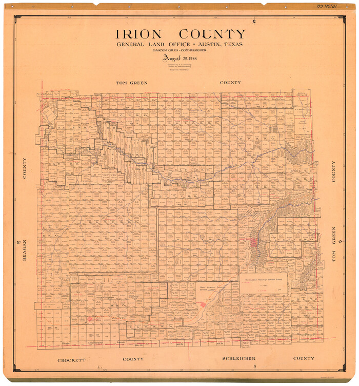
Irion County
1944
-
Size
45.2 x 42.6 inches
-
Map/Doc
73189
-
Creation Date
1944
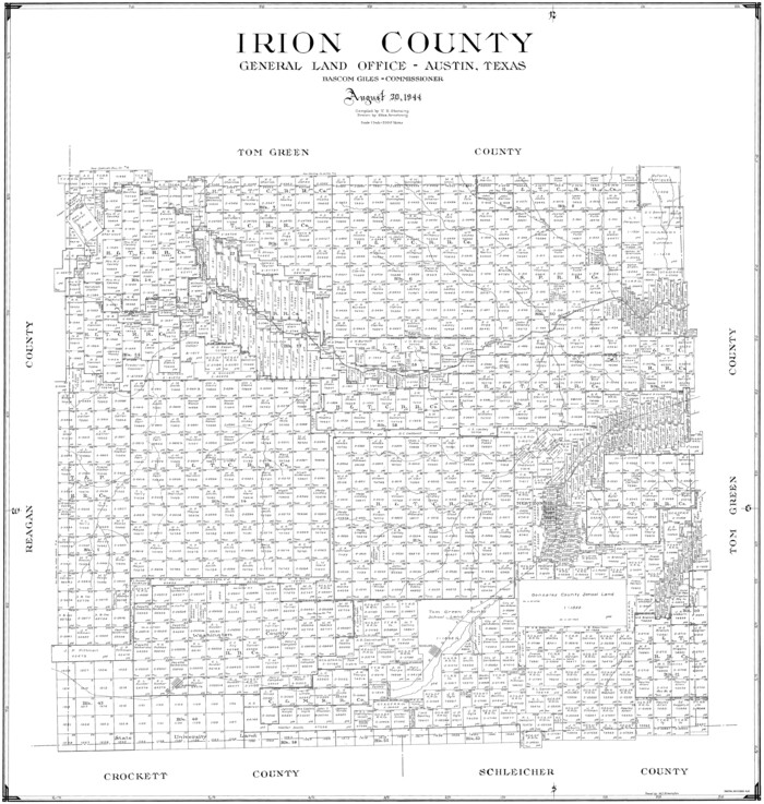
Irion County
1944
-
Size
42.3 x 40.2 inches
-
Map/Doc
77322
-
Creation Date
1944
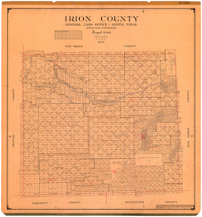
Irion County
1944
-
Size
46.6 x 44.1 inches
-
Map/Doc
95539
-
Creation Date
1944

Irion County Boundary File 1
-
Size
8.9 x 4.1 inches
-
Map/Doc
55316

Irion County Boundary File 1a
-
Size
33.5 x 9.3 inches
-
Map/Doc
55325

Irion County Boundary File 2
-
Size
14.3 x 8.9 inches
-
Map/Doc
55327

Irion County Boundary File 3
-
Size
8.8 x 4.2 inches
-
Map/Doc
55339

Irion County Boundary File 3a
-
Size
12.9 x 8.3 inches
-
Map/Doc
55349

Irion County Boundary File 4
-
Size
11.2 x 8.8 inches
-
Map/Doc
55350

Irion County Boundary File 4a
-
Size
8.6 x 38.7 inches
-
Map/Doc
55361

Irion County Rolled Sketch 10
1942
-
Size
29.8 x 29.1 inches
-
Map/Doc
6322
-
Creation Date
1942

Irion County Rolled Sketch 11
1945
-
Size
38.5 x 52.9 inches
-
Map/Doc
9252
-
Creation Date
1945

Irion County Rolled Sketch 12
1945
-
Size
37.5 x 51.9 inches
-
Map/Doc
75943
-
Creation Date
1945

Irion County Rolled Sketch 13
1948
-
Size
27.0 x 30.7 inches
-
Map/Doc
6323
-
Creation Date
1948

Irion County Rolled Sketch 14
1946
-
Size
25.3 x 21.9 inches
-
Map/Doc
6324
-
Creation Date
1946

Irion County Rolled Sketch 16
1952
-
Size
24.4 x 41.6 inches
-
Map/Doc
6325
-
Creation Date
1952

Irion County Rolled Sketch 17
1956
-
Size
40.5 x 40.2 inches
-
Map/Doc
9255
-
Creation Date
1956

Irion County Rolled Sketch 18
1956
-
Size
30.5 x 26.3 inches
-
Map/Doc
6326
-
Creation Date
1956