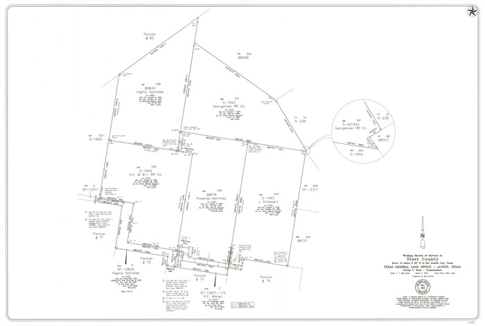
Starr County Working Sketch 30
2015

Land grants from the state of Tamaulipas in the trans-Nueces
2009

Starr County Working Sketch 29
2007
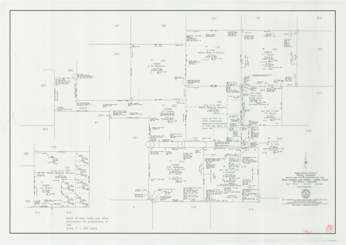
Starr County Working Sketch 28
2004

Starr County Working Sketch 27
1994
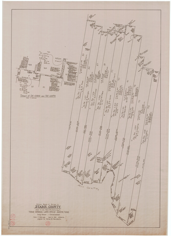
Starr County Working Sketch 25
1988
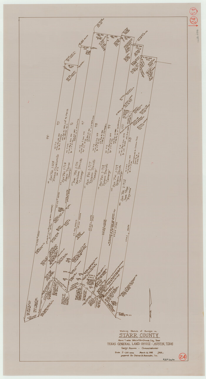
Starr County Working Sketch 24
1988

Starr County Rolled Sketch 46A
1986
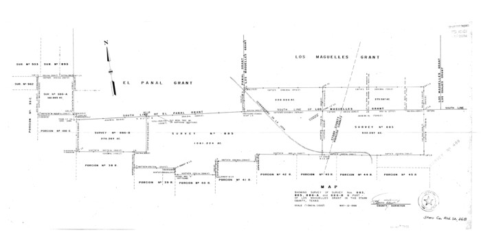
Starr County Rolled Sketch 46B
1986
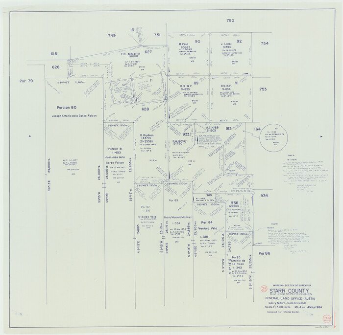
Starr County Working Sketch 23
1984

Starr County Working Sketch 22
1983

Starr County Rolled Sketch 43
1982
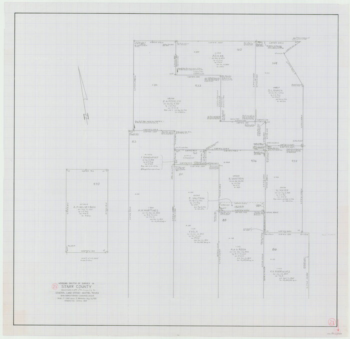
Starr County Working Sketch 21
1982
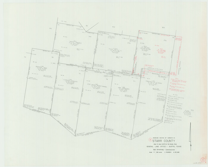
Starr County Working Sketch 19
1982
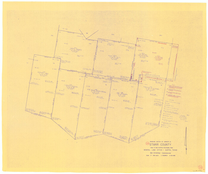
Starr County Working Sketch 20
1982

Starr County Working Sketch 18
1982

Starr County Working Sketch 17
1982
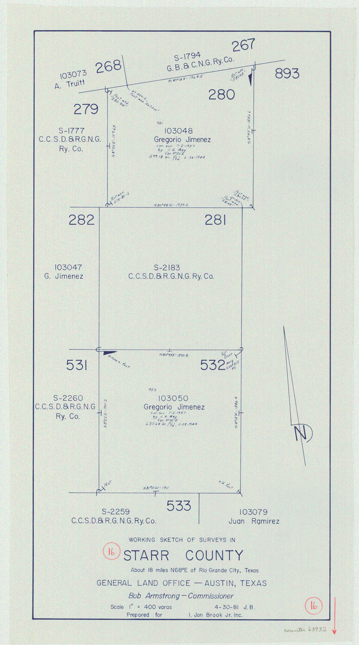
Starr County Working Sketch 16
1981
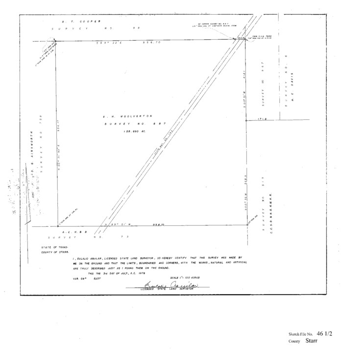
Starr County Sketch File 46 1/2
1978

Starr County Working Sketch Graphic Index
1977
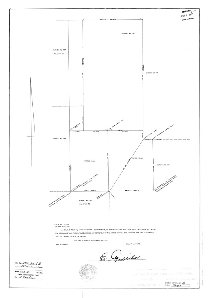
Starr County Rolled Sketch 42
1972
Starr County Rolled Sketch 41
1971
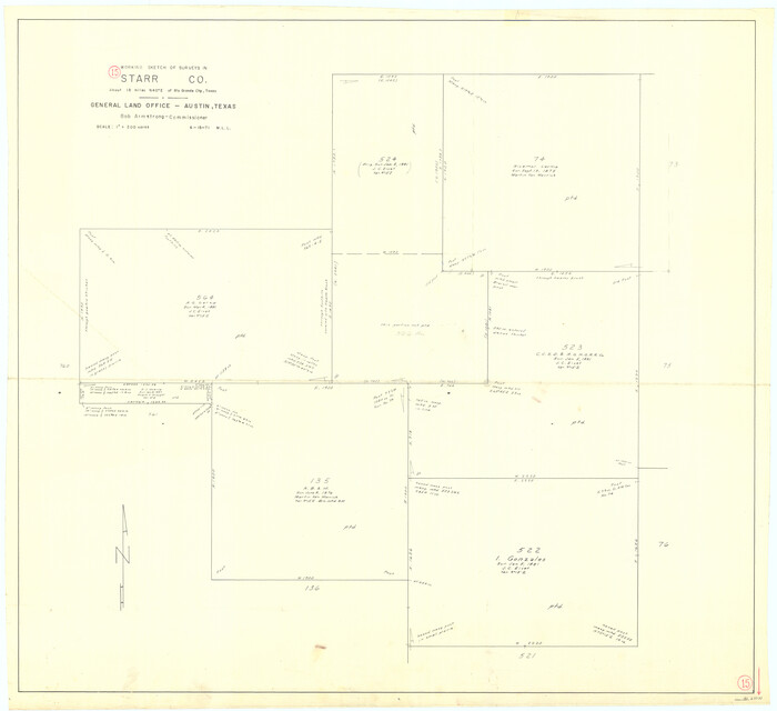
Starr County Working Sketch 15
1971
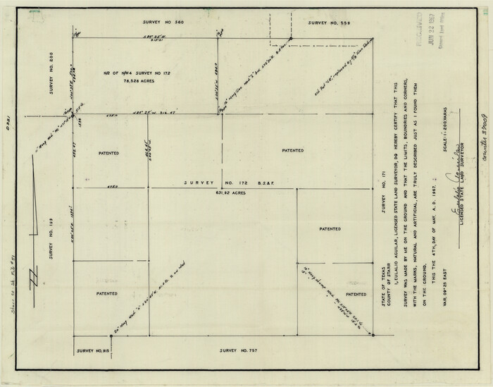
Starr County Sketch File 51
1967
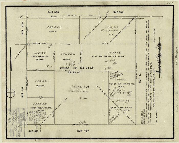
Starr County Sketch File 50
1963
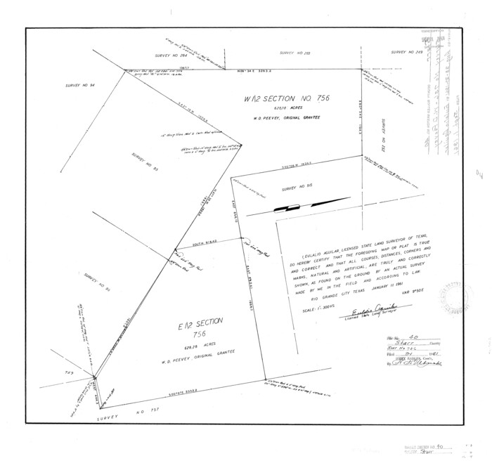
Starr County Rolled Sketch 40
1961
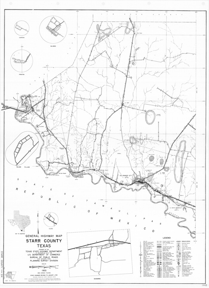
General Highway Map, Starr County, Texas
1961

Starr County Working Sketch 30
2015
-
Size
24.6 x 36.6 inches
-
Map/Doc
93750
-
Creation Date
2015

Land grants from the state of Tamaulipas in the trans-Nueces
2009
-
Size
11.0 x 8.5 inches
-
Map/Doc
94040
-
Creation Date
2009

Starr County Working Sketch 29
2007
-
Size
28.6 x 34.0 inches
-
Map/Doc
87208
-
Creation Date
2007

Starr County Working Sketch 28
2004
-
Size
28.0 x 39.6 inches
-
Map/Doc
83010
-
Creation Date
2004

Starr County Working Sketch 27
1994
-
Size
29.6 x 30.3 inches
-
Map/Doc
63943
-
Creation Date
1994

Starr County Working Sketch 25
1988
-
Size
38.5 x 27.9 inches
-
Map/Doc
63941
-
Creation Date
1988

Starr County Working Sketch 24
1988
-
Size
37.1 x 20.2 inches
-
Map/Doc
63940
-
Creation Date
1988

Starr County Rolled Sketch 46A
1986
-
Size
17.9 x 34.4 inches
-
Map/Doc
7837
-
Creation Date
1986

Starr County Rolled Sketch 46B
1986
-
Size
17.9 x 34.5 inches
-
Map/Doc
7838
-
Creation Date
1986

Starr County Working Sketch 23
1984
-
Size
29.9 x 30.6 inches
-
Map/Doc
63939
-
Creation Date
1984

Starr County Working Sketch 22
1983
-
Size
25.8 x 33.1 inches
-
Map/Doc
63938
-
Creation Date
1983

Starr County Rolled Sketch 43
1982
-
Size
36.1 x 30.9 inches
-
Map/Doc
7836
-
Creation Date
1982

Starr County Working Sketch 21
1982
-
Size
32.6 x 33.7 inches
-
Map/Doc
63937
-
Creation Date
1982

Starr County Working Sketch 19
1982
-
Size
27.3 x 33.9 inches
-
Map/Doc
63935
-
Creation Date
1982

Starr County Working Sketch 20
1982
-
Size
29.5 x 35.2 inches
-
Map/Doc
63936
-
Creation Date
1982

Starr County Working Sketch 18
1982
-
Size
29.5 x 34.3 inches
-
Map/Doc
63934
-
Creation Date
1982

Starr County Working Sketch 17
1982
-
Size
46.1 x 42.7 inches
-
Map/Doc
63933
-
Creation Date
1982

Starr County Working Sketch 16
1981
-
Size
21.5 x 12.0 inches
-
Map/Doc
63932
-
Creation Date
1981

Starr County Sketch File 46 1/2
1978
-
Size
17.9 x 17.2 inches
-
Map/Doc
12344
-
Creation Date
1978
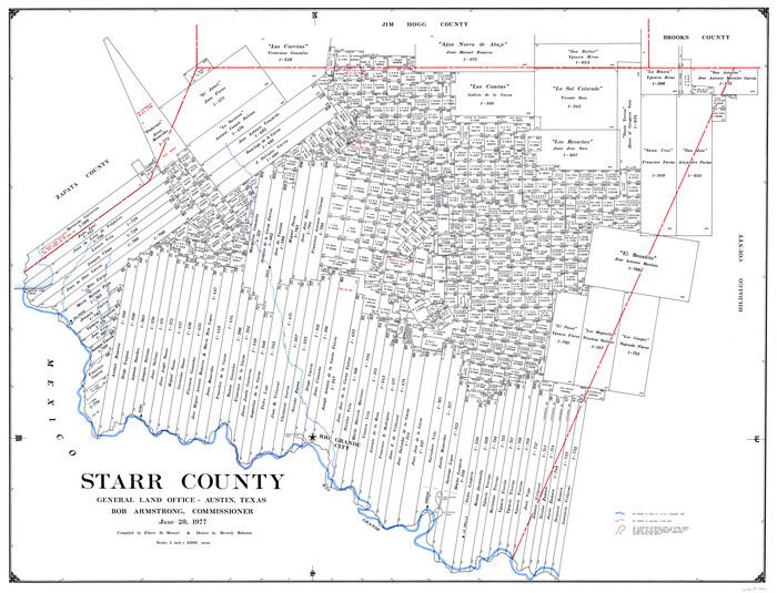
Starr County
1977
-
Size
42.5 x 55.2 inches
-
Map/Doc
73292
-
Creation Date
1977

Starr County
1977
-
Size
42.3 x 54.7 inches
-
Map/Doc
77425
-
Creation Date
1977

Starr County Working Sketch Graphic Index
1977
-
Size
43.0 x 55.5 inches
-
Map/Doc
76701
-
Creation Date
1977

Starr County
1977
-
Size
43.1 x 56.2 inches
-
Map/Doc
95643
-
Creation Date
1977

Starr County Rolled Sketch 42
1972
-
Size
26.0 x 18.4 inches
-
Map/Doc
7835
-
Creation Date
1972

Starr County Rolled Sketch 41
1971
-
Size
10.8 x 15.8 inches
-
Map/Doc
49030
-
Creation Date
1971

Starr County Working Sketch 15
1971
-
Size
34.4 x 37.6 inches
-
Map/Doc
63931
-
Creation Date
1971

Starr County Sketch File 51
1967
-
Size
12.2 x 15.6 inches
-
Map/Doc
37009
-
Creation Date
1967

Starr County Sketch File 50
1963
-
Size
12.4 x 15.5 inches
-
Map/Doc
37007
-
Creation Date
1963

Starr County Rolled Sketch 40
1961
-
Size
21.3 x 22.6 inches
-
Map/Doc
7834
-
Creation Date
1961

General Highway Map, Starr County, Texas
1961
-
Size
24.9 x 18.1 inches
-
Map/Doc
79658
-
Creation Date
1961