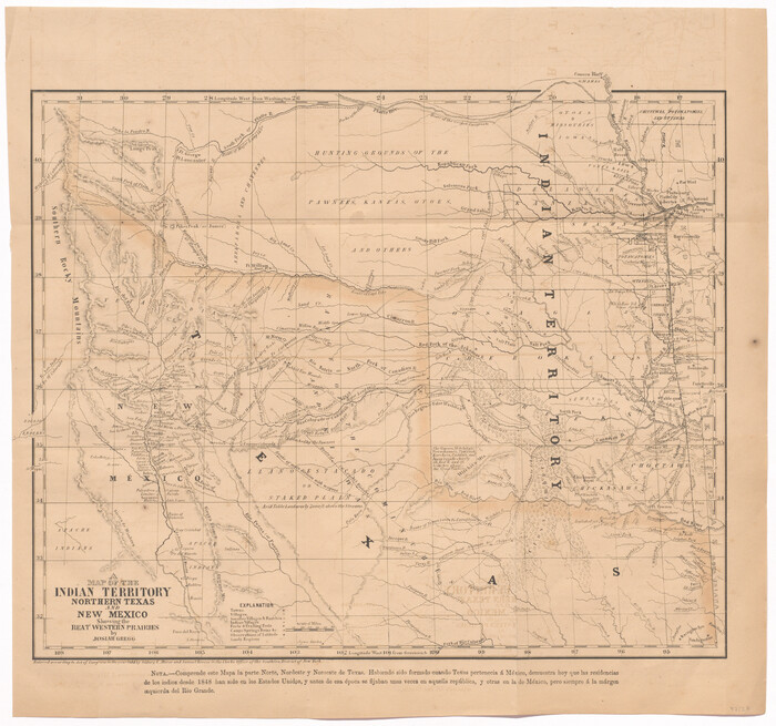
A Map of the Indian Territory, Northern Texas and New Mexico Showing the Great Western Prairies

Print $20.00
- Digital $50.00
A Map of the Indian Territory, Northern Texas and New Mexico Showing the Great Western Prairies
1844
Size: 14.0 x 17.6 inches
95700
A Map of the Indian Territory, Northern Texas and New Mexico showing the [G]reat Western Prairies
Print $20.00
- Digital $50.00
A Map of the Indian Territory, Northern Texas and New Mexico showing the [G]reat Western Prairies
1844
Size: 15.0 x 16.0 inches
97127
A Map of the Republic of Texas and the adjacent territories, indicating the grants of land conceded under the empresario system of Mexico

Print $20.00
- Digital $50.00
A Map of the Republic of Texas and the adjacent territories, indicating the grants of land conceded under the empresario system of Mexico
1841
Size: 13.8 x 16.6 inches
93752
A Map of the United States of Mexico as organized and defined by the several Acts of the Congress of that Republic

Print $20.00
- Digital $50.00
A Map of the United States of Mexico as organized and defined by the several Acts of the Congress of that Republic
1846
Size: 24.0 x 31.7 inches
93760
A New Map of Texas

Print $20.00
- Digital $50.00
A New Map of Texas
1841
Size: 17.6 x 16.2 inches
93862
A New Map of Texas

Print $20.00
- Digital $50.00
A New Map of Texas
1841
Size: 18.2 x 17.2 inches
96636
A New Map of Texas with the Contiguous American & Mexican States

Print $20.00
- Digital $50.00
A New Map of Texas with the Contiguous American & Mexican States
1839
Size: 13.5 x 16.1 inches
93941
A New Map of Texas with the Contiguous American & Mexican States

Print $20.00
- Digital $50.00
A New Map of Texas with the Contiguous American & Mexican States
1837
Size: 12.5 x 15.1 inches
96643
A New Map of Texas with the contiguous American and Mexican States

Print $20.00
- Digital $50.00
A New Map of Texas with the contiguous American and Mexican States
1839
Size: 13.0 x 15.4 inches
96513
A New Map of Texas, Oregon and California with the Regions adjoining

Print $20.00
- Digital $50.00
A New Map of Texas, Oregon and California with the Regions adjoining
1846
Size: 20.4 x 19.3 inches
89067
A New Map of Texas, Oregon and California with the regions adjoining, compiled from the most recent authorities

Print $20.00
- Digital $50.00
A New Map of Texas, Oregon and California with the regions adjoining, compiled from the most recent authorities
1846
Size: 23.2 x 21.2 inches
93872
A New Map of Texas, Oregon and California with the regions adjoining, compiled from the most recent authorities

Print $20.00
- Digital $50.00
A New Map of Texas, Oregon and California with the regions adjoining, compiled from the most recent authorities
Size: 22.8 x 20.9 inches
93990
A New Map of Texas, Oregon, and California with the regions adjoining compiled from the most recent authorities

Print $20.00
- Digital $50.00
A New Map of Texas, Oregon, and California with the regions adjoining compiled from the most recent authorities
1846
Size: 23.0 x 21.2 inches
95748
A new & correct map of Texas compiled from the most recent surveys & authorities to the year 1845

Print $20.00
- Digital $50.00
A new & correct map of Texas compiled from the most recent surveys & authorities to the year 1845
1845
Size: 22.4 x 28.5 inches
96973
A new map of Texas, Oregon and California with the regions adjoining, compiled from the most recent authorities

Print $20.00
- Digital $50.00
A new map of Texas, Oregon and California with the regions adjoining, compiled from the most recent authorities
1846
Size: 23.7 x 21.8 inches
93940
Aerial View of San Antonio de Béxar and Alamo Fortifications

Aerial View of San Antonio de Béxar and Alamo Fortifications
2026
Size: 11.0 x 17.0 inches
97522
Alamo Defenders Heritage Map of Texas

Print $20.00
Alamo Defenders Heritage Map of Texas
2025
Size: 36.0 x 24.0 inches
97433
Authors’ Interpretation of Figure A1029.1, Red River and Shelby Counties, Undated

Print $20.00
Authors’ Interpretation of Figure A1029.1, Red River and Shelby Counties, Undated
2020
Size: 20.1 x 21.7 inches
96404
Calhoun County Sketch File 20

Print $10.00
Calhoun County Sketch File 20
1839
Size: 8.8 x 8.6 inches
76865
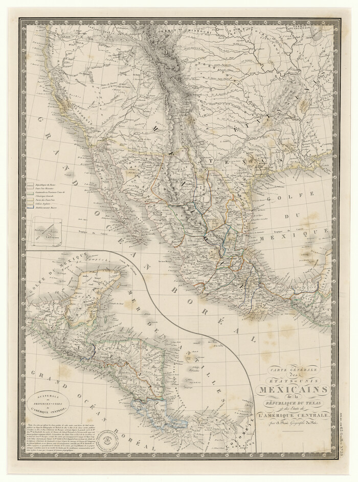
Carte Générale des États-Unis Mexicains de la République du Texas et des Etats de L'Amérique Centrale
Print $20.00
- Digital $50.00
Carte Générale des États-Unis Mexicains de la République du Texas et des Etats de L'Amérique Centrale
1844
Size: 21.9 x 16.3 inches
97532
Carte du Texas par M. Maris

Print $20.00
- Digital $50.00
Carte du Texas par M. Maris
1846
Size: 19.3 x 17.2 inches
2119
Carte du Texas, Extraite de la grande Carte du Mexique par A. Brué Géographe du Roi, Revue, corrigée et considerablement augmentée d'après des documens récens et renseignemens fournis par Mr. le Docteur Fc. Leclerc

Print $20.00
- Digital $50.00
Carte du Texas, Extraite de la grande Carte du Mexique par A. Brué Géographe du Roi, Revue, corrigée et considerablement augmentée d'après des documens récens et renseignemens fournis par Mr. le Docteur Fc. Leclerc
1840
Size: 12.6 x 14.2 inches
94273
Central America II. Including Texas, California and the Northern States of Mexico

Print $20.00
- Digital $50.00
Central America II. Including Texas, California and the Northern States of Mexico
1842
Size: 14.1 x 16.7 inches
93927
Central America Including Texas, California, and the Northern States Mexico

Print $20.00
Central America Including Texas, California, and the Northern States Mexico
1842
Size: 13.8 x 16.7 inches
76273
Commemorative Map of the Republic of Texas, 1845

Print $27.06
Commemorative Map of the Republic of Texas, 1845
1986
Size: 32.7 x 26.7 inches
89023
Current Miscellaneous File 105

Print $18.00
- Digital $50.00
Current Miscellaneous File 105
Size: 8.8 x 14.2 inches
74680
Deputy Surveyors Field Note Book, San Patricio County

Deputy Surveyors Field Note Book, San Patricio County
1838
96675
Die Vereinigten Staaten v. Nord-America

Print $20.00
- Digital $50.00
Die Vereinigten Staaten v. Nord-America
1846
Size: 21.0 x 27.9 inches
94513
A Map of the Indian Territory, Northern Texas and New Mexico Showing the Great Western Prairies
Print $20.00
- Digital $50.00
A Map of the Indian Territory, Northern Texas and New Mexico Showing the Great Western Prairies
1844
-
Size
14.0 x 17.6 inches
-
Map/Doc
95700
-
Creation Date
1844
A Map of the Indian Territory, Northern Texas and New Mexico showing the [G]reat Western Prairies
Print $20.00
- Digital $50.00
A Map of the Indian Territory, Northern Texas and New Mexico showing the [G]reat Western Prairies
1844
-
Size
15.0 x 16.0 inches
-
Map/Doc
97127
-
Creation Date
1844
A Map of the Republic of Texas and the adjacent territories, indicating the grants of land conceded under the empresario system of Mexico
Print $20.00
- Digital $50.00
A Map of the Republic of Texas and the adjacent territories, indicating the grants of land conceded under the empresario system of Mexico
1841
-
Size
13.8 x 16.6 inches
-
Map/Doc
93752
-
Creation Date
1841
A Map of the United States of Mexico as organized and defined by the several Acts of the Congress of that Republic
Print $20.00
- Digital $50.00
A Map of the United States of Mexico as organized and defined by the several Acts of the Congress of that Republic
1846
-
Size
24.0 x 31.7 inches
-
Map/Doc
93760
-
Creation Date
1846
A New Map of Texas
Print $20.00
- Digital $50.00
A New Map of Texas
1841
-
Size
17.6 x 16.2 inches
-
Map/Doc
93862
-
Creation Date
1841
A New Map of Texas
Print $20.00
- Digital $50.00
A New Map of Texas
1841
-
Size
18.2 x 17.2 inches
-
Map/Doc
96636
-
Creation Date
1841
A New Map of Texas with the Contiguous American & Mexican States
Print $20.00
- Digital $50.00
A New Map of Texas with the Contiguous American & Mexican States
1839
-
Size
13.5 x 16.1 inches
-
Map/Doc
93941
-
Creation Date
1839
A New Map of Texas with the Contiguous American & Mexican States
Print $20.00
- Digital $50.00
A New Map of Texas with the Contiguous American & Mexican States
1837
-
Size
12.5 x 15.1 inches
-
Map/Doc
96643
-
Creation Date
1837
A New Map of Texas with the contiguous American and Mexican States
Print $20.00
- Digital $50.00
A New Map of Texas with the contiguous American and Mexican States
1839
-
Size
13.0 x 15.4 inches
-
Map/Doc
96513
-
Creation Date
1839
A New Map of Texas, Oregon and California with the Regions adjoining
Print $20.00
- Digital $50.00
A New Map of Texas, Oregon and California with the Regions adjoining
1846
-
Size
20.4 x 19.3 inches
-
Map/Doc
89067
-
Creation Date
1846
A New Map of Texas, Oregon and California with the regions adjoining, compiled from the most recent authorities
Print $20.00
- Digital $50.00
A New Map of Texas, Oregon and California with the regions adjoining, compiled from the most recent authorities
1846
-
Size
23.2 x 21.2 inches
-
Map/Doc
93872
-
Creation Date
1846
A New Map of Texas, Oregon and California with the regions adjoining, compiled from the most recent authorities
Print $20.00
- Digital $50.00
A New Map of Texas, Oregon and California with the regions adjoining, compiled from the most recent authorities
-
Size
22.8 x 20.9 inches
-
Map/Doc
93990
A New Map of Texas, Oregon, and California with the regions adjoining compiled from the most recent authorities
Print $20.00
- Digital $50.00
A New Map of Texas, Oregon, and California with the regions adjoining compiled from the most recent authorities
1846
-
Size
23.0 x 21.2 inches
-
Map/Doc
95748
-
Creation Date
1846
A new & correct map of Texas compiled from the most recent surveys & authorities to the year 1845
Print $20.00
- Digital $50.00
A new & correct map of Texas compiled from the most recent surveys & authorities to the year 1845
1845
-
Size
22.4 x 28.5 inches
-
Map/Doc
96973
-
Creation Date
1845
A new map of Texas, Oregon and California with the regions adjoining, compiled from the most recent authorities
Print $20.00
- Digital $50.00
A new map of Texas, Oregon and California with the regions adjoining, compiled from the most recent authorities
1846
-
Size
23.7 x 21.8 inches
-
Map/Doc
93940
-
Creation Date
1846
Aerial View of San Antonio de Béxar and Alamo Fortifications
Aerial View of San Antonio de Béxar and Alamo Fortifications
2026
-
Size
11.0 x 17.0 inches
-
Map/Doc
97522
-
Creation Date
2026
Alamo Defenders Heritage Map of Texas
Print $20.00
Alamo Defenders Heritage Map of Texas
2025
The Alamo is a sacred place where history, sacrifice, and pride come together to tell the powerful...
-
Size
36.0 x 24.0 inches
-
Map/Doc
97433
-
Creation Date
2025
Authors’ Interpretation of Figure A1029.1, Red River and Shelby Counties, Undated
Print $20.00
Authors’ Interpretation of Figure A1029.1, Red River and Shelby Counties, Undated
2020
-
Size
20.1 x 21.7 inches
-
Map/Doc
96404
-
Creation Date
2020
Calhoun County Sketch File 20
Print $10.00
Calhoun County Sketch File 20
1839
-
Size
8.8 x 8.6 inches
-
Map/Doc
76865
-
Creation Date
1839
Carte Générale des États-Unis Mexicains de la République du Texas et des Etats de L'Amérique Centrale
Print $20.00
- Digital $50.00
Carte Générale des États-Unis Mexicains de la République du Texas et des Etats de L'Amérique Centrale
1844
-
Size
21.9 x 16.3 inches
-
Map/Doc
97532
-
Creation Date
1844
Carte du Texas par M. Maris
Print $20.00
- Digital $50.00
Carte du Texas par M. Maris
1846
-
Size
19.3 x 17.2 inches
-
Map/Doc
2119
-
Creation Date
1846
Carte du Texas, Extraite de la grande Carte du Mexique par A. Brué Géographe du Roi, Revue, corrigée et considerablement augmentée d'après des documens récens et renseignemens fournis par Mr. le Docteur Fc. Leclerc
Print $20.00
- Digital $50.00
Carte du Texas, Extraite de la grande Carte du Mexique par A. Brué Géographe du Roi, Revue, corrigée et considerablement augmentée d'après des documens récens et renseignemens fournis par Mr. le Docteur Fc. Leclerc
1840
-
Size
12.6 x 14.2 inches
-
Map/Doc
94273
-
Creation Date
1840
Central America II. Including Texas, California and the Northern States of Mexico
Print $20.00
- Digital $50.00
Central America II. Including Texas, California and the Northern States of Mexico
1842
-
Size
14.1 x 16.7 inches
-
Map/Doc
93927
-
Creation Date
1842
Central America Including Texas, California, and the Northern States Mexico
Print $20.00
Central America Including Texas, California, and the Northern States Mexico
1842
-
Size
13.8 x 16.7 inches
-
Map/Doc
76273
-
Creation Date
1842
Commemorative Map of the Republic of Texas, 1845
Print $27.06
Commemorative Map of the Republic of Texas, 1845
1986
-
Size
32.7 x 26.7 inches
-
Map/Doc
89023
-
Creation Date
1986
Current Miscellaneous File 105
Print $18.00
- Digital $50.00
Current Miscellaneous File 105
-
Size
8.8 x 14.2 inches
-
Map/Doc
74680
Deputy Surveyors Field Note Book, San Patricio County
Deputy Surveyors Field Note Book, San Patricio County
1838
-
Map/Doc
96675
-
Creation Date
1838
Die Vereinigten Staaten v. Nord-America
Print $20.00
- Digital $50.00
Die Vereinigten Staaten v. Nord-America
1846
-
Size
21.0 x 27.9 inches
-
Map/Doc
94513
-
Creation Date
1846
Events of the Texas Revolution

Events of the Texas Revolution
2023
-
Size
8.5 x 11.0 inches
-
Map/Doc
97188
-
Creation Date
2023
Events of the Texas Revolution

Events of the Texas Revolution
2023
-
Size
11.0 x 8.5 inches
-
Map/Doc
97189
-
Creation Date
2023