A Chart of the Internal Part of Louisiana
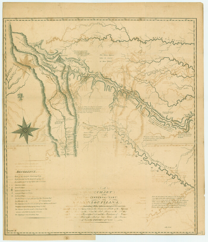

Print $20.00
A Chart of the Internal Part of Louisiana
1807
Size: 19.2 x 16.5 inches
79310
A Geological Map of the United States


Print $20.00
A Geological Map of the United States
Size: 10.2 x 15.9 inches
95281
A Geological Map of the United States and Canada


Print $20.00
A Geological Map of the United States and Canada
1853
Size: 17.4 x 25.0 inches
95189
A Map of Louisiana and Mexico


Print $20.00
- Digital $50.00
A Map of Louisiana and Mexico
1820
Size: 43.8 x 32.9 inches
94945
A Map of Mexico, Louisiana and the Missouri Territory, including also the State of Mississippi, Alabama Territory, East & West Florida, Georgia, South Carolina & part of the Island of Cuba


Print $40.00
A Map of Mexico, Louisiana and the Missouri Territory, including also the State of Mississippi, Alabama Territory, East & West Florida, Georgia, South Carolina & part of the Island of Cuba
Size: 66.9 x 64.2 inches
95312
A Map of the Cotton Kingdom and its Dependencies in America
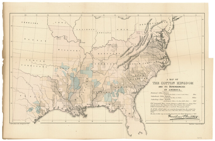

Print $20.00
- Digital $50.00
A Map of the Cotton Kingdom and its Dependencies in America
1861
Size: 12.2 x 18.6 inches
96573
A Map of the United States including Louisiana


Print $20.00
- Digital $50.00
A Map of the United States including Louisiana
1817
Size: 14.9 x 18.2 inches
95964
A Map of the United States including every county enumerated in the last census & since formed with the population of the several states, railroads, canals, & c.


A Map of the United States including every county enumerated in the last census & since formed with the population of the several states, railroads, canals, & c.
Size: 46.0 x 61.0 inches
95918
A New Map of North America
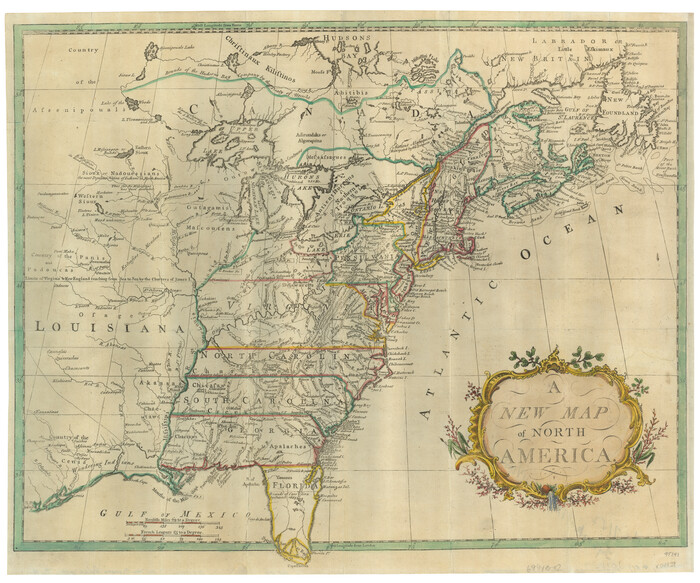

Print $20.00
- Digital $50.00
A New Map of North America
1779
Size: 18.5 x 22.2 inches
95141
A New Map of the United States of America
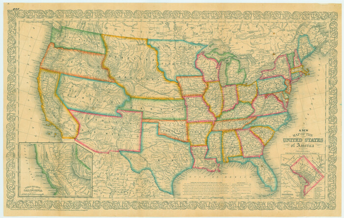

Print $20.00
A New Map of the United States of America
1856
Size: 17.8 x 28.0 inches
79320
A New Map of the United States of America
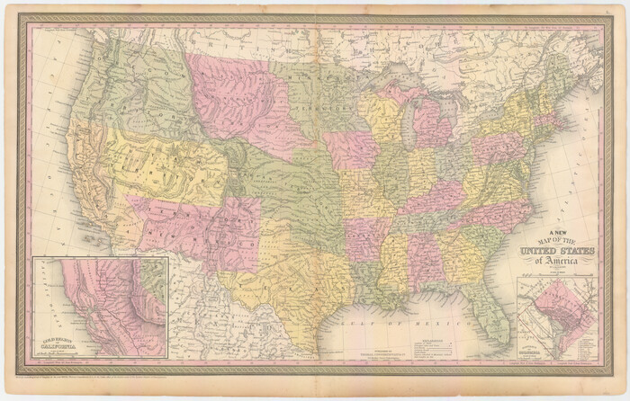

Print $20.00
- Digital $50.00
A New Map of the United States of America
1850
Size: 17.7 x 27.8 inches
89219
A New Map of the United States upon which are delineated its vast works of internal communication, routes across the continent &c. showing also Canada and the Island of Cuba


Print $20.00
- Digital $50.00
A New Map of the United States upon which are delineated its vast works of internal communication, routes across the continent &c. showing also Canada and the Island of Cuba
Size: 25.8 x 30.6 inches
93996
A New Map of the Whole Continent of America. Divided into North and South and West Indies, wherein are exactly decribed the United States of North America as well as the Several European Possessions according to the Preliminaries of Peace…


Print $40.00
- Digital $50.00
A New Map of the Whole Continent of America. Divided into North and South and West Indies, wherein are exactly decribed the United States of North America as well as the Several European Possessions according to the Preliminaries of Peace…
Size: 22.0 x 48.3 inches
95135
A New Map of the Whole Continent of America. Divided into North and South and West Indies, wherein are exactly decribed the United States of North America as well as the Several European Possessions according to the Preliminaries of Peace…


Print $40.00
- Digital $50.00
A New Map of the Whole Continent of America. Divided into North and South and West Indies, wherein are exactly decribed the United States of North America as well as the Several European Possessions according to the Preliminaries of Peace…
Size: 22.0 x 48.7 inches
95136
A New Map of the Whole Continent of America. Divided into North and South and West Indies, wherein are exactly decribed the United States of North America as well as the Several European Possessions according to the Preliminaries of Peace…


Print $40.00
- Digital $50.00
A New Map of the Whole Continent of America. Divided into North and South and West Indies, wherein are exactly decribed the United States of North America as well as the Several European Possessions according to the Preliminaries of Peace…
Size: 42.8 x 48.8 inches
95137
A new and complete county map of all the rail roads in the United States & Canadas in operation & progress.
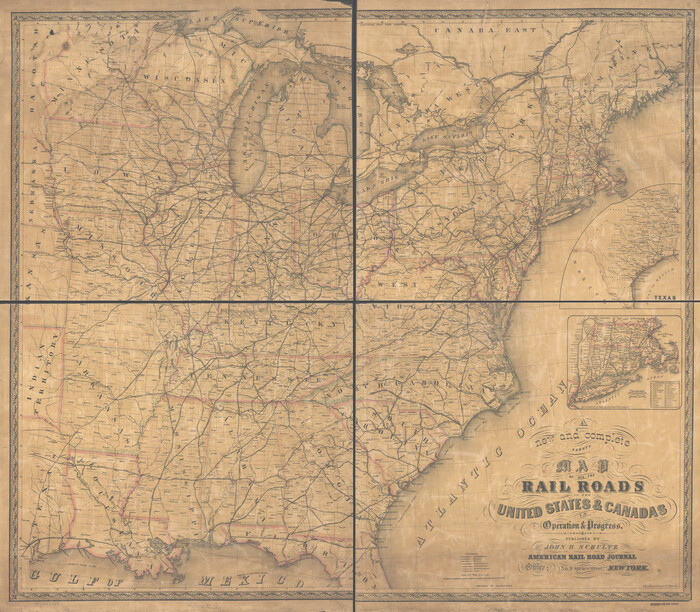

Print $20.00
A new and complete county map of all the rail roads in the United States & Canadas in operation & progress.
1857
Size: 19.3 x 22.0 inches
93606
A new map for travellers through the United States of America showing the railroads, canals & stageroads with the distances


Print $20.00
- Digital $50.00
A new map for travellers through the United States of America showing the railroads, canals & stageroads with the distances
1846
Size: 22.4 x 27.9 inches
95921
American Civil War Political Loyalties


American Civil War Political Loyalties
2022
Size: 8.5 x 11.0 inches
97091
Appletons' Railway Map of the Southern States, to accompany Appletons' Hand-book of American Travel, Southern Tour


Print $20.00
- Digital $50.00
Appletons' Railway Map of the Southern States, to accompany Appletons' Hand-book of American Travel, Southern Tour
1887
Size: 15.6 x 24.3 inches
95904
Asher & Adams' Geological Map - United States and Territories
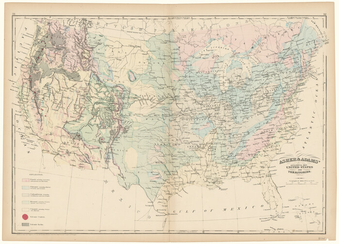

Print $20.00
- Digital $50.00
Asher & Adams' Geological Map - United States and Territories
1874
Size: 17.9 x 24.9 inches
95175
Atlantic Coast to the Rocky Mountains


Atlantic Coast to the Rocky Mountains
1956
Size: 42.5 x 29.4 inches
94409
Atlantic Coast to the Rocky Mountains


Atlantic Coast to the Rocky Mountains
1956
Size: 42.3 x 29.5 inches
94410
Bien & Sterner's New Rail Road Map of the United States and the Canadas compiled from the latest surveys & locations under the direction of Zerah Colburn Esq., editor of the Rail Road Advocate


Print $20.00
- Digital $50.00
Bien & Sterner's New Rail Road Map of the United States and the Canadas compiled from the latest surveys & locations under the direction of Zerah Colburn Esq., editor of the Rail Road Advocate
1855
Size: 27.5 x 32.3 inches
95963
Big Inch and Little Big Inch Pipelines


Big Inch and Little Big Inch Pipelines
2022
Size: 8.5 x 11.0 inches
97089
Canada, United States of America, Estados Unidos Mexicanos


Print $20.00
- Digital $50.00
Canada, United States of America, Estados Unidos Mexicanos
Size: 41.9 x 36.1 inches
96512
Carta Geografica General de la Republica Mexicana
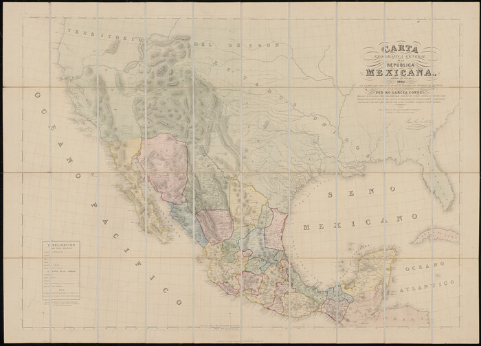

Print $40.00
- Digital $50.00
Carta Geografica General de la Republica Mexicana
1845
Size: 38.1 x 52.9 inches
96438
Carte Generale des Treize Etats-Unis de l'Amerique Septentrionale


Print $20.00
- Digital $50.00
Carte Generale des Treize Etats-Unis de l'Amerique Septentrionale
1783
Size: 22.9 x 27.0 inches
93678
A Chart of the Internal Part of Louisiana


Print $20.00
A Chart of the Internal Part of Louisiana
1807
-
Size
19.2 x 16.5 inches
-
Map/Doc
79310
-
Creation Date
1807
A Geological Map of the United States


Print $20.00
A Geological Map of the United States
-
Size
10.2 x 15.9 inches
-
Map/Doc
95281
A Geological Map of the United States and Canada


Print $20.00
A Geological Map of the United States and Canada
1853
-
Size
17.4 x 25.0 inches
-
Map/Doc
95189
-
Creation Date
1853
A Map of Louisiana and Mexico


Print $20.00
- Digital $50.00
A Map of Louisiana and Mexico
1820
-
Size
43.8 x 32.9 inches
-
Map/Doc
94945
-
Creation Date
1820
A Map of Mexico, Louisiana and the Missouri Territory, including also the State of Mississippi, Alabama Territory, East & West Florida, Georgia, South Carolina & part of the Island of Cuba


Print $40.00
A Map of Mexico, Louisiana and the Missouri Territory, including also the State of Mississippi, Alabama Territory, East & West Florida, Georgia, South Carolina & part of the Island of Cuba
-
Size
66.9 x 64.2 inches
-
Map/Doc
95312
A Map of the Cotton Kingdom and its Dependencies in America


Print $20.00
- Digital $50.00
A Map of the Cotton Kingdom and its Dependencies in America
1861
-
Size
12.2 x 18.6 inches
-
Map/Doc
96573
-
Creation Date
1861
A Map of the United States including Louisiana


Print $20.00
- Digital $50.00
A Map of the United States including Louisiana
1817
-
Size
14.9 x 18.2 inches
-
Map/Doc
95964
-
Creation Date
1817
A Map of the United States including every county enumerated in the last census & since formed with the population of the several states, railroads, canals, & c.


A Map of the United States including every county enumerated in the last census & since formed with the population of the several states, railroads, canals, & c.
-
Size
46.0 x 61.0 inches
-
Map/Doc
95918
A New Map of North America


Print $20.00
- Digital $50.00
A New Map of North America
1779
-
Size
18.5 x 22.2 inches
-
Map/Doc
95141
-
Creation Date
1779
A New Map of the United States of America


Print $20.00
A New Map of the United States of America
1856
-
Size
17.8 x 28.0 inches
-
Map/Doc
79320
-
Creation Date
1856
A New Map of the United States of America


Print $20.00
- Digital $50.00
A New Map of the United States of America
1850
-
Size
17.7 x 27.8 inches
-
Map/Doc
89219
-
Creation Date
1850
A New Map of the United States upon which are delineated its vast works of internal communication, routes across the continent &c. showing also Canada and the Island of Cuba


Print $20.00
- Digital $50.00
A New Map of the United States upon which are delineated its vast works of internal communication, routes across the continent &c. showing also Canada and the Island of Cuba
-
Size
25.8 x 30.6 inches
-
Map/Doc
93996
A New Map of the Whole Continent of America. Divided into North and South and West Indies, wherein are exactly decribed the United States of North America as well as the Several European Possessions according to the Preliminaries of Peace…


Print $40.00
- Digital $50.00
A New Map of the Whole Continent of America. Divided into North and South and West Indies, wherein are exactly decribed the United States of North America as well as the Several European Possessions according to the Preliminaries of Peace…
-
Size
22.0 x 48.3 inches
-
Map/Doc
95135
A New Map of the Whole Continent of America. Divided into North and South and West Indies, wherein are exactly decribed the United States of North America as well as the Several European Possessions according to the Preliminaries of Peace…


Print $40.00
- Digital $50.00
A New Map of the Whole Continent of America. Divided into North and South and West Indies, wherein are exactly decribed the United States of North America as well as the Several European Possessions according to the Preliminaries of Peace…
-
Size
22.0 x 48.7 inches
-
Map/Doc
95136
A New Map of the Whole Continent of America. Divided into North and South and West Indies, wherein are exactly decribed the United States of North America as well as the Several European Possessions according to the Preliminaries of Peace…


Print $40.00
- Digital $50.00
A New Map of the Whole Continent of America. Divided into North and South and West Indies, wherein are exactly decribed the United States of North America as well as the Several European Possessions according to the Preliminaries of Peace…
-
Size
42.8 x 48.8 inches
-
Map/Doc
95137
A new and complete county map of all the rail roads in the United States & Canadas in operation & progress.


Print $20.00
A new and complete county map of all the rail roads in the United States & Canadas in operation & progress.
1857
-
Size
19.3 x 22.0 inches
-
Map/Doc
93606
-
Creation Date
1857
A new map for travellers through the United States of America showing the railroads, canals & stageroads with the distances


Print $20.00
- Digital $50.00
A new map for travellers through the United States of America showing the railroads, canals & stageroads with the distances
1846
-
Size
22.4 x 27.9 inches
-
Map/Doc
95921
-
Creation Date
1846
America's Federal Lands


America's Federal Lands
1982
-
Size
29.7 x 43.2 inches
-
Map/Doc
94291
-
Creation Date
1982
American Civil War Political Loyalties


American Civil War Political Loyalties
2022
-
Size
8.5 x 11.0 inches
-
Map/Doc
97091
-
Creation Date
2022
Appletons' Railway Map of the Southern States, to accompany Appletons' Hand-book of American Travel, Southern Tour


Print $20.00
- Digital $50.00
Appletons' Railway Map of the Southern States, to accompany Appletons' Hand-book of American Travel, Southern Tour
1887
-
Size
15.6 x 24.3 inches
-
Map/Doc
95904
-
Creation Date
1887
Asher & Adams' Geological Map - United States and Territories


Print $20.00
- Digital $50.00
Asher & Adams' Geological Map - United States and Territories
1874
-
Size
17.9 x 24.9 inches
-
Map/Doc
95175
-
Creation Date
1874
Atlantic Coast to the Rocky Mountains


Atlantic Coast to the Rocky Mountains
1956
-
Size
42.5 x 29.4 inches
-
Map/Doc
94409
-
Creation Date
1956
Atlantic Coast to the Rocky Mountains


Atlantic Coast to the Rocky Mountains
1956
-
Size
42.3 x 29.5 inches
-
Map/Doc
94410
-
Creation Date
1956
Bien & Sterner's New Rail Road Map of the United States and the Canadas compiled from the latest surveys & locations under the direction of Zerah Colburn Esq., editor of the Rail Road Advocate


Print $20.00
- Digital $50.00
Bien & Sterner's New Rail Road Map of the United States and the Canadas compiled from the latest surveys & locations under the direction of Zerah Colburn Esq., editor of the Rail Road Advocate
1855
-
Size
27.5 x 32.3 inches
-
Map/Doc
95963
-
Creation Date
1855
Big Inch and Little Big Inch Pipelines


Big Inch and Little Big Inch Pipelines
2022
-
Size
8.5 x 11.0 inches
-
Map/Doc
97089
-
Creation Date
2022
Burlington Route
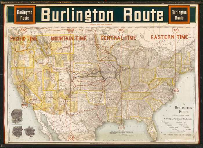

Print $20.00
- Digital $50.00
Burlington Route
1892
-
Size
34.9 x 47.7 inches
-
Map/Doc
93910
-
Creation Date
1892
Canada, United States of America, Estados Unidos Mexicanos


Print $20.00
- Digital $50.00
Canada, United States of America, Estados Unidos Mexicanos
-
Size
41.9 x 36.1 inches
-
Map/Doc
96512
Carta Geografica General de la Republica Mexicana


Print $40.00
- Digital $50.00
Carta Geografica General de la Republica Mexicana
1845
-
Size
38.1 x 52.9 inches
-
Map/Doc
96438
-
Creation Date
1845
Carte Generale des Treize Etats-Unis de l'Amerique Septentrionale


Print $20.00
- Digital $50.00
Carte Generale des Treize Etats-Unis de l'Amerique Septentrionale
1783
-
Size
22.9 x 27.0 inches
-
Map/Doc
93678
-
Creation Date
1783
