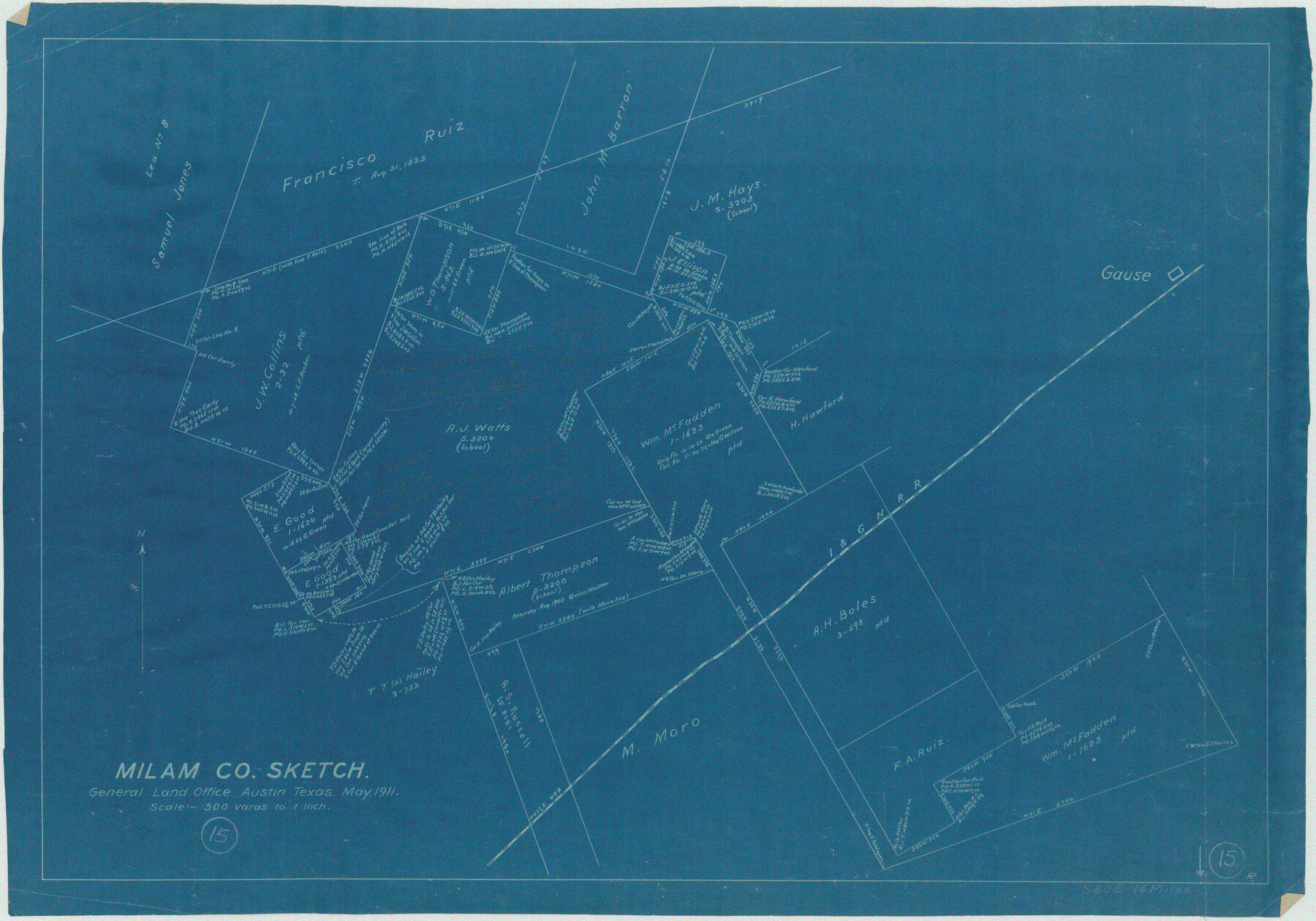
Milam County Working Sketch 15
- 
                          Map/Doc71030
- 
                            CollectionGeneral Map Collection
- 
                            Object Dates5/1911 (Creation Date)
- 
                            CountiesMilam
- 
                            SubjectsSurveying Working Sketch
- 
                            Height x Width18.2 x 26.1 inches46.2 x 66.3 cm
- 
                            Scale1" = 500 varas
Part of: General Map Collection
            Val Verde County Sketch File 48


                                            Print $20.00                    
                                             -                         Digital $50.00                                    
                Val Verde County Sketch File 48
1950
Size 18.2 x 28.9 inches
                                Map/Doc 12589
            
            Brazos River, Clodine Sheet


                                            Print $4.00                    
                                             -                         Digital $50.00                                    
                Brazos River, Clodine Sheet
1930
Size 21.8 x 24.6 inches
                                Map/Doc 65287
            
            Colorado County Working Sketch 19


                                            Print $20.00                    
                                             -                         Digital $50.00                                    
                Colorado County Working Sketch 19
1958
Size 25.3 x 19.1 inches
                                Map/Doc 68119
            
            Dimmit County Rolled Sketch 22


                                            Print $20.00                    
                                             -                         Digital $50.00                                    
                Dimmit County Rolled Sketch 22
2012
Size 31.5 x 24.0 inches
                                Map/Doc 93629
            
            Harris County Rolled Sketch 95


                                            Print $20.00                    
                                             -                         Digital $50.00                                    
                Harris County Rolled Sketch 95
1987
Size 34.2 x 27.8 inches
                                Map/Doc 6134
            
            Castro County Sketch File 13


                                            Print $4.00                    
                                             -                         Digital $50.00                                    
                Castro County Sketch File 13
1962
Size 14.1 x 8.6 inches
                                Map/Doc 17509
            
            Garza County Working Sketch 1


                                            Print $20.00                    
                                             -                         Digital $50.00                                    
                Garza County Working Sketch 1
1902
Size 39.3 x 25.6 inches
                                Map/Doc 63148
            
            Webb County Working Sketch 46


                                            Print $20.00                    
                                             -                         Digital $50.00                                    
                Webb County Working Sketch 46
1947
Size 18.4 x 23.5 inches
                                Map/Doc 72411
            
            [Surveys in the Bexar District along the Guadalupe River]
            
                                    ![124, [Surveys in the Bexar District along the Guadalupe River], General Map Collection](https://historictexasmaps.com/wmedia_w700/maps/124.tif.jpg) 


    ![124, [Surveys in the Bexar District along the Guadalupe River], General Map Collection](https://historictexasmaps.com/wmedia_w700/maps/124.tif.jpg) 
                                
            
                                            Print $3.00                    
                                             -                         Digital $50.00                                    
                [Surveys in the Bexar District along the Guadalupe River]
1841
Size 17.2 x 10.8 inches
                                Map/Doc 124
            
            San Jacinto River, Proposed Dam Site/Huntsville State Park


                                            Print $6.00                    
                                             -                         Digital $50.00                                    
                San Jacinto River, Proposed Dam Site/Huntsville State Park
1937
Size 30.2 x 26.6 inches
                                Map/Doc 65151
            
            Sectional Map No. 3 of the lands and of the line of the Texas & Pacific Ry. Co. in Reeves and parts of Tom Green, Pecos, Presidio & El Paso Cos.


                                            Print $20.00                    
                                             -                         Digital $50.00                                    
                Sectional Map No. 3 of the lands and of the line of the Texas & Pacific Ry. Co. in Reeves and parts of Tom Green, Pecos, Presidio & El Paso Cos.
1885
Size 22.3 x 17.4 inches
                                Map/Doc 2303
            You may also like
            [Subdivision of Crockett County School Land Lgs. 214-217]
            
                                    ![90106, [Subdivision of Crockett County School Land Lgs. 214-217], Twichell Survey Records](https://historictexasmaps.com/wmedia_w700/maps/90106-1.tif.jpg) 


    ![90106, [Subdivision of Crockett County School Land Lgs. 214-217], Twichell Survey Records](https://historictexasmaps.com/wmedia_w700/maps/90106-1.tif.jpg) 
                                
            
                                            Print $2.00                    
                                             -                         Digital $50.00                                    
                [Subdivision of Crockett County School Land Lgs. 214-217]
Size 12.4 x 8.5 inches
                                Map/Doc 90106
            
            Hutchinson County Working Sketch 37


                                            Print $20.00                    
                                             -                         Digital $50.00                                    
                Hutchinson County Working Sketch 37
1978
Size 27.5 x 23.0 inches
                                Map/Doc 66397
            
            Hutchinson County Working Sketch 7


                                            Print $20.00                    
                                             -                         Digital $50.00                                    
                Hutchinson County Working Sketch 7
1917
Size 16.5 x 11.9 inches
                                Map/Doc 66365
            
            Leon County Rolled Sketch 8


                                            Print $97.00                    
                                             -                         Digital $50.00                                    
                Leon County Rolled Sketch 8
1955
Size 32.5 x 31.9 inches
                                Map/Doc 9429
            
            [Texas Boundary Line]
            
                                    ![92080, [Texas Boundary Line], Twichell Survey Records](https://historictexasmaps.com/wmedia_w700/maps/92080-1.tif.jpg) 


    ![92080, [Texas Boundary Line], Twichell Survey Records](https://historictexasmaps.com/wmedia_w700/maps/92080-1.tif.jpg) 
                                
            
                                            Print $20.00                    
                                             -                         Digital $50.00                                    
                [Texas Boundary Line]
Size 21.7 x 12.1 inches
                                Map/Doc 92080
            
            Kimble County Rolled Sketch 30


                                            Print $20.00                    
                                             -                         Digital $50.00                                    
                Kimble County Rolled Sketch 30
Size 26.0 x 20.4 inches
                                Map/Doc 6520
            
            Pecos County Sketch File 65


                                            Print $6.00                    
                                             -                         Digital $50.00                                    
                Pecos County Sketch File 65
1919
Size 16.7 x 11.9 inches
                                Map/Doc 33824
            
            Flight Mission No. DQN-7K, Frame 88, Calhoun County


                                            Print $20.00                    
                                             -                         Digital $50.00                                    
                Flight Mission No. DQN-7K, Frame 88, Calhoun County
1953
Size 18.5 x 22.1 inches
                                Map/Doc 84479
            
            [Map of Connecting Lines along or near the Red River]
            
                                    ![75545, [Map of Connecting Lines along or near the Red River], General Map Collection](https://historictexasmaps.com/wmedia_w700/maps/75545.tif.jpg) 


    ![75545, [Map of Connecting Lines along or near the Red River], General Map Collection](https://historictexasmaps.com/wmedia_w700/maps/75545.tif.jpg) 
                                
            
                                            Print $40.00                    
                                             -                         Digital $50.00                                    
                [Map of Connecting Lines along or near the Red River]
Size 37.9 x 48.7 inches
                                Map/Doc 75545
            
            Revised Plat of Tahoka Heights Addition Located on the SE 1/4 of Section 568


                                            Print $20.00                    
                                             -                         Digital $50.00                                    
                Revised Plat of Tahoka Heights Addition Located on the SE 1/4 of Section 568
Size 17.5 x 21.9 inches
                                Map/Doc 92942
            
            Coleman County Sketch File 9


                                            Print $24.00                    
                                             -                         Digital $50.00                                    
                Coleman County Sketch File 9
1859
Size 12.4 x 8.2 inches
                                Map/Doc 18675
             
                         
                                