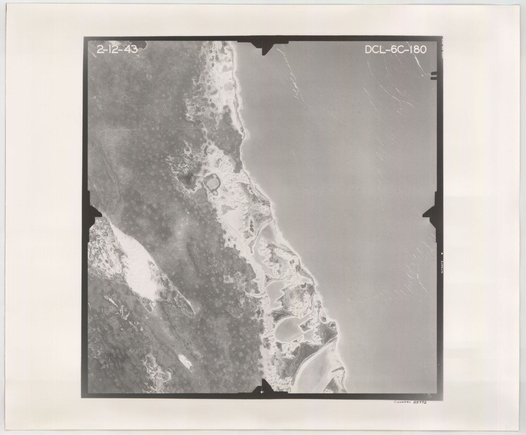
Flight Mission No. DCL-6C, Frame 180, Kenedy County
DCL-6C-180
-
Map/Doc
85992
-
Collection
General Map Collection
-
Object Dates
1943/2/12 (Creation Date)
-
People and Organizations
U. S. Department of Agriculture (Publisher)
-
Counties
Kenedy
-
Subjects
Aerial Photograph
-
Height x Width
18.5 x 22.4 inches
47.0 x 56.9 cm
-
Comments
Flown by Aerial Surveys of Pittsburgh, Inc. of Pittsburgh, Pennsylvania.
Part of: General Map Collection
Starr County Sketch File 19

Print $20.00
- Digital $50.00
Starr County Sketch File 19
1887
Size 22.6 x 22.0 inches
Map/Doc 12330
Madison County Rolled Sketch 1

Print $20.00
- Digital $50.00
Madison County Rolled Sketch 1
1966
Size 36.7 x 46.0 inches
Map/Doc 9485
Collingsworth County

Print $20.00
- Digital $50.00
Collingsworth County
1892
Size 26.5 x 20.8 inches
Map/Doc 66759
Austin County Working Sketch 5

Print $20.00
- Digital $50.00
Austin County Working Sketch 5
1965
Size 23.4 x 27.8 inches
Map/Doc 67246
Flight Mission No. CRC-4R, Frame 69, Chambers County

Print $20.00
- Digital $50.00
Flight Mission No. CRC-4R, Frame 69, Chambers County
1956
Size 18.7 x 22.4 inches
Map/Doc 84873
Callahan County Sketch File 1

Print $4.00
- Digital $50.00
Callahan County Sketch File 1
Size 9.1 x 8.2 inches
Map/Doc 35851
Gaines County Rolled Sketch 14B

Print $40.00
- Digital $50.00
Gaines County Rolled Sketch 14B
1940
Size 142.9 x 24.0 inches
Map/Doc 9032
Irion County Working Sketch 9

Print $20.00
- Digital $50.00
Irion County Working Sketch 9
1941
Size 13.6 x 17.2 inches
Map/Doc 66418
Carte d'une partie de l'Asie, depuis la Mer Méditerranée jusqu'au Golfe de Cambaye dans la Mer de l'Inde

Print $20.00
- Digital $50.00
Carte d'une partie de l'Asie, depuis la Mer Méditerranée jusqu'au Golfe de Cambaye dans la Mer de l'Inde
1782
Size 12.9 x 18.0 inches
Map/Doc 97120
Burleson County Working Sketch 16

Print $3.00
- Digital $50.00
Burleson County Working Sketch 16
1980
Size 10.1 x 14.1 inches
Map/Doc 67735
Trinity County Sketch File 17

Print $4.00
- Digital $50.00
Trinity County Sketch File 17
Size 8.0 x 7.4 inches
Map/Doc 38546
Brewster County Working Sketch 27

Print $20.00
- Digital $50.00
Brewster County Working Sketch 27
1940
Size 31.2 x 33.1 inches
Map/Doc 67561
You may also like
Mitchell County Boundary File 2

Print $4.00
- Digital $50.00
Mitchell County Boundary File 2
Size 8.9 x 7.3 inches
Map/Doc 57367
Tom Green County Rolled Sketch 20

Print $20.00
- Digital $50.00
Tom Green County Rolled Sketch 20
Size 20.7 x 13.3 inches
Map/Doc 8003
Runnels County Working Sketch 29

Print $20.00
- Digital $50.00
Runnels County Working Sketch 29
1959
Size 27.1 x 30.0 inches
Map/Doc 63625
Working Sketch Bastrop County

Print $20.00
- Digital $50.00
Working Sketch Bastrop County
1923
Size 16.9 x 13.3 inches
Map/Doc 90146
Flight Mission No. CLL-1N, Frame 10, Willacy County

Print $20.00
- Digital $50.00
Flight Mission No. CLL-1N, Frame 10, Willacy County
1954
Size 18.5 x 22.1 inches
Map/Doc 86997
Sutton County Rolled Sketch 42

Print $20.00
- Digital $50.00
Sutton County Rolled Sketch 42
Size 16.2 x 20.1 inches
Map/Doc 7884
Bosque County Rolled Sketch 3

Print $20.00
- Digital $50.00
Bosque County Rolled Sketch 3
Size 24.6 x 19.1 inches
Map/Doc 89015
Galveston Island, showing division into lots

Print $40.00
- Digital $50.00
Galveston Island, showing division into lots
1839
Size 76.9 x 33.3 inches
Map/Doc 2036
Lamb County Working Sketch 4

Print $40.00
- Digital $50.00
Lamb County Working Sketch 4
1984
Size 42.9 x 58.0 inches
Map/Doc 70277
Starr County Sketch File 4

Print $3.00
- Digital $50.00
Starr County Sketch File 4
Size 9.3 x 11.5 inches
Map/Doc 36857
Dickens County Rolled Sketch 12

Print $20.00
- Digital $50.00
Dickens County Rolled Sketch 12
1959
Size 33.5 x 39.7 inches
Map/Doc 8790
Treaty to Resolve Pending Boundary Differences and Maintain the Rio Grande and Colorado River as the International Boundary Between the United States of American and Mexico

Print $4.00
- Digital $50.00
Treaty to Resolve Pending Boundary Differences and Maintain the Rio Grande and Colorado River as the International Boundary Between the United States of American and Mexico
1970
Size 10.9 x 18.1 inches
Map/Doc 83101