[Canadian River North]
188-75
-
Map/Doc
91826
-
Collection
Twichell Survey Records
-
Counties
Potter Moore
-
Height x Width
17.9 x 11.7 inches
45.5 x 29.7 cm
Part of: Twichell Survey Records
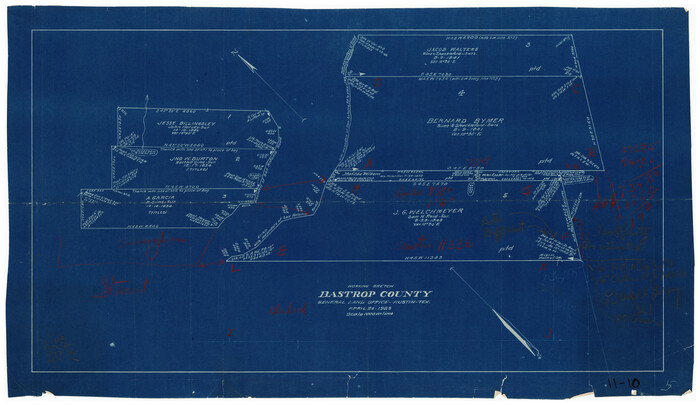
Working Sketch Bastrop County

Print $20.00
- Digital $50.00
Working Sketch Bastrop County
1923
Size 22.7 x 13.2 inches
Map/Doc 90149
[W. T. Brewer: M. McDonald, Ralph Gilpin, A. Vanhooser, John Baker, John R. Taylor Surveys]
![90962, [W. T. Brewer: M. McDonald, Ralph Gilpin, A. Vanhooser, John Baker, John R. Taylor Surveys], Twichell Survey Records](https://historictexasmaps.com/wmedia_w700/maps/90962-1.tif.jpg)
![90962, [W. T. Brewer: M. McDonald, Ralph Gilpin, A. Vanhooser, John Baker, John R. Taylor Surveys], Twichell Survey Records](https://historictexasmaps.com/wmedia_w700/maps/90962-1.tif.jpg)
Print $2.00
- Digital $50.00
[W. T. Brewer: M. McDonald, Ralph Gilpin, A. Vanhooser, John Baker, John R. Taylor Surveys]
Size 9.2 x 11.4 inches
Map/Doc 90962
[J. Poitevent Blocks 1 and 2, T. & P. Blocks 31-36, Townships 3N-5N and other Blocks in vicinity]
![93195, [J. Poitevent Blocks 1 and 2, T. & P. Blocks 31-36, Townships 3N-5N and other Blocks in vicinity], Twichell Survey Records](https://historictexasmaps.com/wmedia_w700/maps/93195-1.tif.jpg)
![93195, [J. Poitevent Blocks 1 and 2, T. & P. Blocks 31-36, Townships 3N-5N and other Blocks in vicinity], Twichell Survey Records](https://historictexasmaps.com/wmedia_w700/maps/93195-1.tif.jpg)
Print $40.00
- Digital $50.00
[J. Poitevent Blocks 1 and 2, T. & P. Blocks 31-36, Townships 3N-5N and other Blocks in vicinity]
Size 50.0 x 50.1 inches
Map/Doc 93195
Plat of Fee Land Adjoining the Town of Lovington, New Mexico


Print $20.00
- Digital $50.00
Plat of Fee Land Adjoining the Town of Lovington, New Mexico
Size 24.2 x 18.4 inches
Map/Doc 92422
[Blocks T1, T2, T3, and Vicinity]
![90983, [Blocks T1, T2, T3, and Vicinity], Twichell Survey Records](https://historictexasmaps.com/wmedia_w700/maps/90983-1.tif.jpg)
![90983, [Blocks T1, T2, T3, and Vicinity], Twichell Survey Records](https://historictexasmaps.com/wmedia_w700/maps/90983-1.tif.jpg)
Print $20.00
- Digital $50.00
[Blocks T1, T2, T3, and Vicinity]
Size 30.3 x 33.6 inches
Map/Doc 90983
[Jas. T. Williams Survey]
![91163, [Jas. T. Williams Survey], Twichell Survey Records](https://historictexasmaps.com/wmedia_w700/maps/91163-1.tif.jpg)
![91163, [Jas. T. Williams Survey], Twichell Survey Records](https://historictexasmaps.com/wmedia_w700/maps/91163-1.tif.jpg)
Print $20.00
- Digital $50.00
[Jas. T. Williams Survey]
Size 29.4 x 19.8 inches
Map/Doc 91163
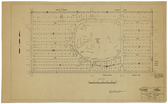
Tech Terrace an Addition to The City of Lubbock

Print $20.00
- Digital $50.00
Tech Terrace an Addition to The City of Lubbock
1946
Size 24.7 x 15.3 inches
Map/Doc 92712
Midway Townsite Located on the Northeast Quarter Section 4, Block 32, T 2 S, Howard County, Texas


Print $3.00
- Digital $50.00
Midway Townsite Located on the Northeast Quarter Section 4, Block 32, T 2 S, Howard County, Texas
1928
Size 11.4 x 15.3 inches
Map/Doc 92184
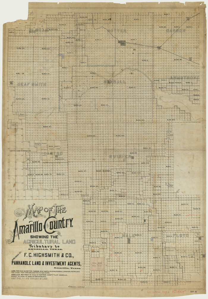
Map of the Amarillo Country Showing the Agricultural Land Tributary to Amarillo, Texas

Print $40.00
- Digital $50.00
Map of the Amarillo Country Showing the Agricultural Land Tributary to Amarillo, Texas
1889
Size 55.7 x 38.7 inches
Map/Doc 89806
[John H. Tyler and Bob Reid Strip Surveys in Yates Field]
![91582, [John H. Tyler and Bob Reid Strip Surveys in Yates Field], Twichell Survey Records](https://historictexasmaps.com/wmedia_w700/maps/91582-1.tif.jpg)
![91582, [John H. Tyler and Bob Reid Strip Surveys in Yates Field], Twichell Survey Records](https://historictexasmaps.com/wmedia_w700/maps/91582-1.tif.jpg)
Print $2.00
- Digital $50.00
[John H. Tyler and Bob Reid Strip Surveys in Yates Field]
Size 14.3 x 8.8 inches
Map/Doc 91582
Rhoades Heights, North Part of West Half, Section 8, Block E


Print $20.00
- Digital $50.00
Rhoades Heights, North Part of West Half, Section 8, Block E
Size 29.2 x 13.5 inches
Map/Doc 92759
Sketch for Blocks D6, D7, D8 situated in Val Verde County, Texas


Print $40.00
- Digital $50.00
Sketch for Blocks D6, D7, D8 situated in Val Verde County, Texas
1937
Size 100.1 x 40.0 inches
Map/Doc 93166
You may also like
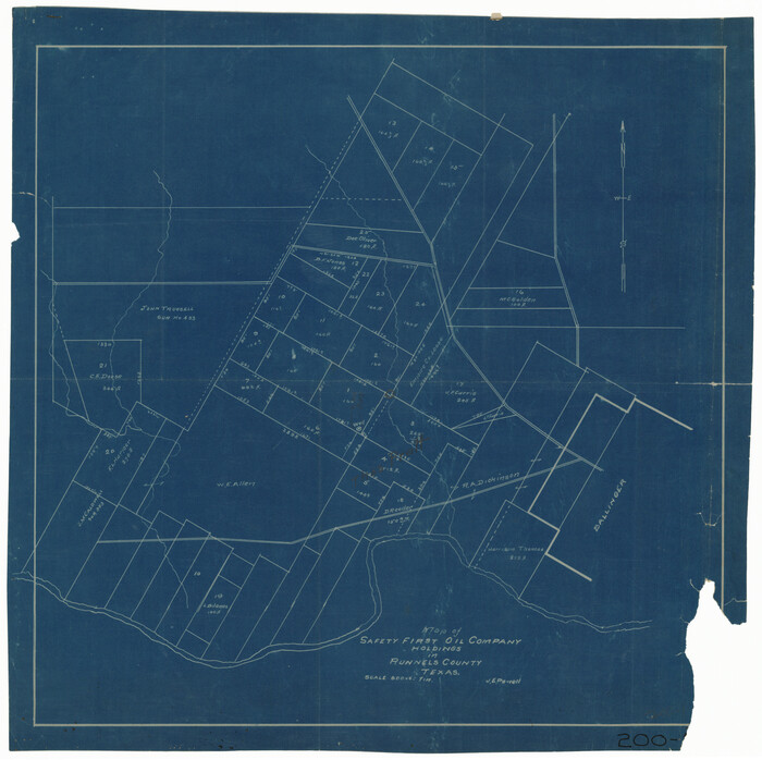
Map of Safety First Oil Company Holdings in Runnel County Texas

Print $20.00
- Digital $50.00
Map of Safety First Oil Company Holdings in Runnel County Texas
Size 17.6 x 17.4 inches
Map/Doc 91766
Fort Bend County Rolled Sketch 17


Print $20.00
- Digital $50.00
Fort Bend County Rolled Sketch 17
1997
Size 28.0 x 38.5 inches
Map/Doc 5901
Oldham County Rolled Sketch 5


Print $20.00
- Digital $50.00
Oldham County Rolled Sketch 5
1903
Size 29.7 x 36.6 inches
Map/Doc 9641
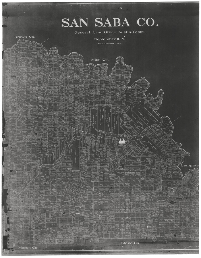
San Saba County

Print $20.00
- Digital $50.00
San Saba County
1918
Size 23.6 x 18.4 inches
Map/Doc 78397
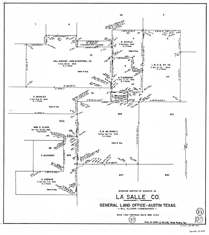
La Salle County Working Sketch 37

Print $20.00
- Digital $50.00
La Salle County Working Sketch 37
1960
Size 24.4 x 21.7 inches
Map/Doc 70338
El Paso County Sketch File 35 (6)


Print $20.00
- Digital $50.00
El Paso County Sketch File 35 (6)
1886
Size 20.3 x 36.9 inches
Map/Doc 11460
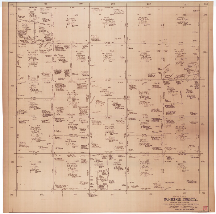
Ochiltree County Working Sketch 9

Print $20.00
- Digital $50.00
Ochiltree County Working Sketch 9
1990
Size 37.1 x 37.4 inches
Map/Doc 71322
Renderbrook Ranch


Print $20.00
- Digital $50.00
Renderbrook Ranch
1932
Size 16.9 x 13.5 inches
Map/Doc 92279
Parkland Place, An Addition to Muleshoe


Print $20.00
- Digital $50.00
Parkland Place, An Addition to Muleshoe
1955
Size 39.2 x 30.3 inches
Map/Doc 92531
Hamilton County Working Sketch 17


Print $20.00
- Digital $50.00
Hamilton County Working Sketch 17
1951
Size 44.4 x 25.0 inches
Map/Doc 63355
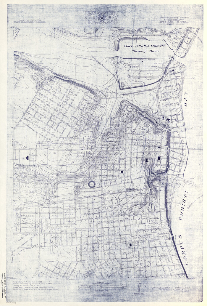
Nueces County Rolled Sketch 100

Print $20.00
- Digital $50.00
Nueces County Rolled Sketch 100
1938
Size 37.2 x 25.2 inches
Map/Doc 9634
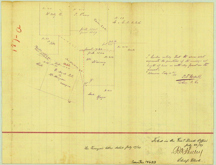
Blanco County Sketch File 32

Print $4.00
- Digital $50.00
Blanco County Sketch File 32
1888
Size 8.5 x 11.1 inches
Map/Doc 14633
![91826, [Canadian River North], Twichell Survey Records](https://historictexasmaps.com/wmedia_w1800h1800/maps/91826-1.tif.jpg)