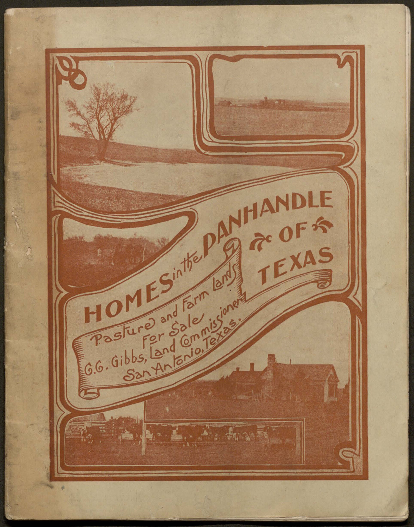
Homes in the Panhandle of Texas
-
Map/Doc
96751
-
Collection
Cobb Digital Map Collection
-
Object Dates
1905 (Creation Date)
-
People and Organizations
C.C. Gibbs (Publisher)
San Antonio Printing Company (Printer)
-
Medium
pdf
-
Comments
Courtesy of John & Diana Cobb.
Part of: Cobb Digital Map Collection
Health Wealth and Happiness in the Texas Panhandle

Health Wealth and Happiness in the Texas Panhandle
1906
Map/Doc 96753
Map of Texas with population and location of principal towns and cities, according to latest reliable statistics

Print $20.00
- Digital $50.00
Map of Texas with population and location of principal towns and cities, according to latest reliable statistics
1906
Size 19.0 x 20.7 inches
Map/Doc 95867
Geological Map of the route explored by Lieut. A.W. Whipple, Corps of Topl. Engrs. near the Parallel of 35° North Latitude from the Mississippi River to the Pacific Ocean 1853-1854

Print $20.00
- Digital $50.00
Geological Map of the route explored by Lieut. A.W. Whipple, Corps of Topl. Engrs. near the Parallel of 35° North Latitude from the Mississippi River to the Pacific Ocean 1853-1854
1854
Size 11.2 x 39.3 inches
Map/Doc 95750
Correct Map of the Railway & Steamship Lines operated by the Southern Pacific Company

Print $20.00
- Digital $50.00
Correct Map of the Railway & Steamship Lines operated by the Southern Pacific Company
1893
Size 16.7 x 40.1 inches
Map/Doc 95762
Rand, McNally & Co.'s Texas

Print $20.00
- Digital $50.00
Rand, McNally & Co.'s Texas
1900
Size 21.6 x 28.5 inches
Map/Doc 95843
Map Exhibiting the Leading Transportation Lines of the Pacific Coast, prepared for the report of the Chief of the Bureau of Statistics on the internal commerce of the United States

Print $20.00
- Digital $50.00
Map Exhibiting the Leading Transportation Lines of the Pacific Coast, prepared for the report of the Chief of the Bureau of Statistics on the internal commerce of the United States
1887
Size 22.2 x 24.5 inches
Map/Doc 95905


Map of the St. Louis, Iron Mountain and Southern Railway, and connections

Print $20.00
- Digital $50.00
Map of the St. Louis, Iron Mountain and Southern Railway, and connections
1877
Size 13.0 x 18.9 inches
Map/Doc 95783
What to See - Where to Go in El Paso, Texas

What to See - Where to Go in El Paso, Texas
1929
Size 9.4 x 8.4 inches
Map/Doc 97048
Map of Texas with population and location of principal towns and cities according to latest reliable statistics

Print $20.00
- Digital $50.00
Map of Texas with population and location of principal towns and cities according to latest reliable statistics
1913
Size 18.3 x 20.2 inches
Map/Doc 95879
The Sunshine Special - Quickest of 'em all - Hosuton to St. Louis leaves Houston 12:45 p.m. San Antonio 9 a.m.

Print $20.00
- Digital $50.00
The Sunshine Special - Quickest of 'em all - Hosuton to St. Louis leaves Houston 12:45 p.m. San Antonio 9 a.m.
1925
Size 9.0 x 7.7 inches
Map/Doc 95780
You may also like
Rockwall County Boundary File 75a

Print $10.00
- Digital $50.00
Rockwall County Boundary File 75a
Size 13.0 x 8.2 inches
Map/Doc 58481
Childress County Sketch File 11

Print $6.00
- Digital $50.00
Childress County Sketch File 11
Size 14.0 x 8.6 inches
Map/Doc 18253
Nueces County Rolled Sketch 62

Print $20.00
- Digital $50.00
Nueces County Rolled Sketch 62
1977
Size 25.0 x 33.3 inches
Map/Doc 6908
Flight Mission No. CGI-3N, Frame 98, Cameron County

Print $20.00
- Digital $50.00
Flight Mission No. CGI-3N, Frame 98, Cameron County
1954
Size 18.5 x 22.1 inches
Map/Doc 84578
Nueces County NRC Article 33.136 Sketch 7

Print $82.00
- Digital $50.00
Nueces County NRC Article 33.136 Sketch 7
2004
Size 32.7 x 47.0 inches
Map/Doc 81932
Flight Mission No. CGI-4N, Frame 160, Cameron County

Print $20.00
- Digital $50.00
Flight Mission No. CGI-4N, Frame 160, Cameron County
1955
Size 18.5 x 22.3 inches
Map/Doc 84668

Foard County Working Sketch 15

Print $40.00
- Digital $50.00
Foard County Working Sketch 15
1982
Size 43.7 x 76.0 inches
Map/Doc 69206
Hardeman County Sketch File 33

Print $3.00
- Digital $50.00
Hardeman County Sketch File 33
1986
Size 17.7 x 11.7 inches
Map/Doc 25070
Reagan County Sketch File 25

Print $20.00
- Digital $50.00
Reagan County Sketch File 25
1941
Size 18.1 x 23.9 inches
Map/Doc 12222
Soil Map, Texas, Woodville Sheet

Print $20.00
- Digital $50.00
Soil Map, Texas, Woodville Sheet
1903
Size 13.2 x 14.3 inches
Map/Doc 3077
Flight Mission No. BRA-7M, Frame 183, Jefferson County

Print $20.00
- Digital $50.00
Flight Mission No. BRA-7M, Frame 183, Jefferson County
1953
Size 18.6 x 22.3 inches
Map/Doc 85551