153 results

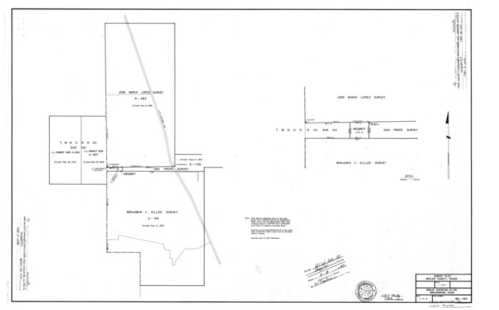
Baylor County Rolled Sketch 12
5129.tif
Print $20.00 - Digital $50.00

Baylor County Rolled Sketch 12

1986

Size: 22.4 x 36.0 inches
5129
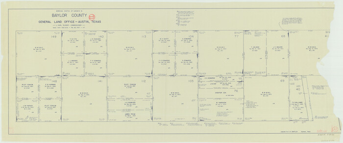
Baylor County Working Sketch 14
67299.tif
Print $40.00 - Digital $50.00

Baylor County Working Sketch 14

1982

Size: 33.5 x 55.1 inches
67299
Baylor County
73077.tif
Print $20.00 - Digital $50.00

Baylor County

1961

Size: 42.5 x 34.8 inches
73077
Baylor County
77209.tif
Print $20.00 - Digital $50.00

Baylor County

1961

Size: 40.6 x 33.0 inches
77209
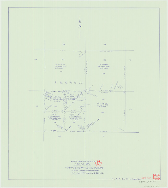
Baylor County Working Sketch 13
67298.tif
Print $20.00 - Digital $50.00

Baylor County Working Sketch 13

1961

Size: 22.4 x 20.0 inches
67298
Baylor County Working Sketch Graphic Index
76463.tif
Print $20.00 - Digital $50.00

Baylor County Working Sketch Graphic Index

1961

Size: 41.1 x 33.6 inches
76463
Baylor County
95426-2.tif
Print $20.00 - Digital $50.00

Baylor County

1961

Size: 43.0 x 35.2 inches
95426
General Highway Map, Baylor County, Texas
79363.tif
Print $20.00

General Highway Map, Baylor County, Texas

1961
Size: 18.3 x 24.8 inches
79363
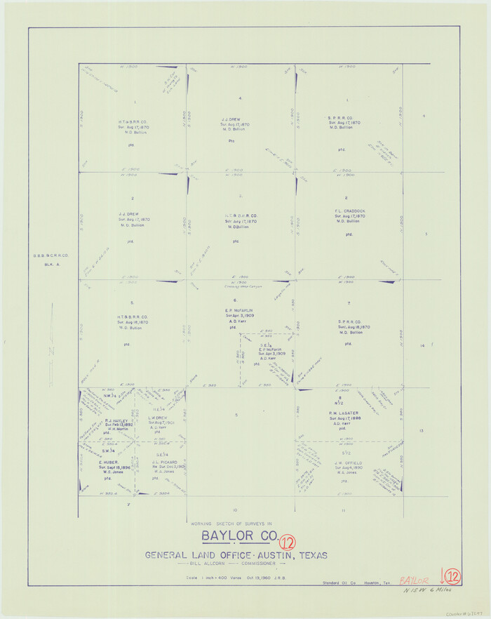
Baylor County Working Sketch 12
67297.tif
Print $20.00 - Digital $50.00

Baylor County Working Sketch 12

1960

Size: 27.3 x 21.6 inches
67297
Knox County Sketch File 26
29262, Knox County Sketch File 26, General Map Collection
Print $40.00 - Digital $50.00

Knox County Sketch File 26

1957

Size: 17.3 x 14.4 inches
29262
Baylor County Working Sketch 11
67296.tif
Print $20.00 - Digital $50.00

Baylor County Working Sketch 11

1957

Size: 20.0 x 47.8 inches
67296
Baylor County Working Sketch 10
67295.tif
Print $20.00 - Digital $50.00

Baylor County Working Sketch 10

1956

Size: 37.7 x 18.7 inches
67295
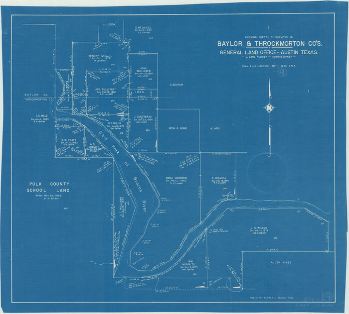
Baylor County Working Sketch 9
67294.tif
Print $20.00 - Digital $50.00

Baylor County Working Sketch 9

1956

Size: 24.7 x 27.4 inches
67294
Throckmorton County Sketch File 10
38102, Throckmorton County Sketch File 10, General Map Collection
Print $6.00 - Digital $50.00

Throckmorton County Sketch File 10

1955

Size: 11.2 x 8.8 inches
38102
Baylor County Working Sketch 8
67293.tif
Print $20.00 - Digital $50.00

Baylor County Working Sketch 8

1955

Size: 44.1 x 20.7 inches
67293
S. M. S. Throckmorton Ranch, Throckmorton, Haskell, Baylor Cos.
2104.tif
Print $20.00 - Digital $50.00

S. M. S. Throckmorton Ranch, Throckmorton, Haskell, Baylor Cos.

1955
Size: 33.8 x 45.1 inches
2104
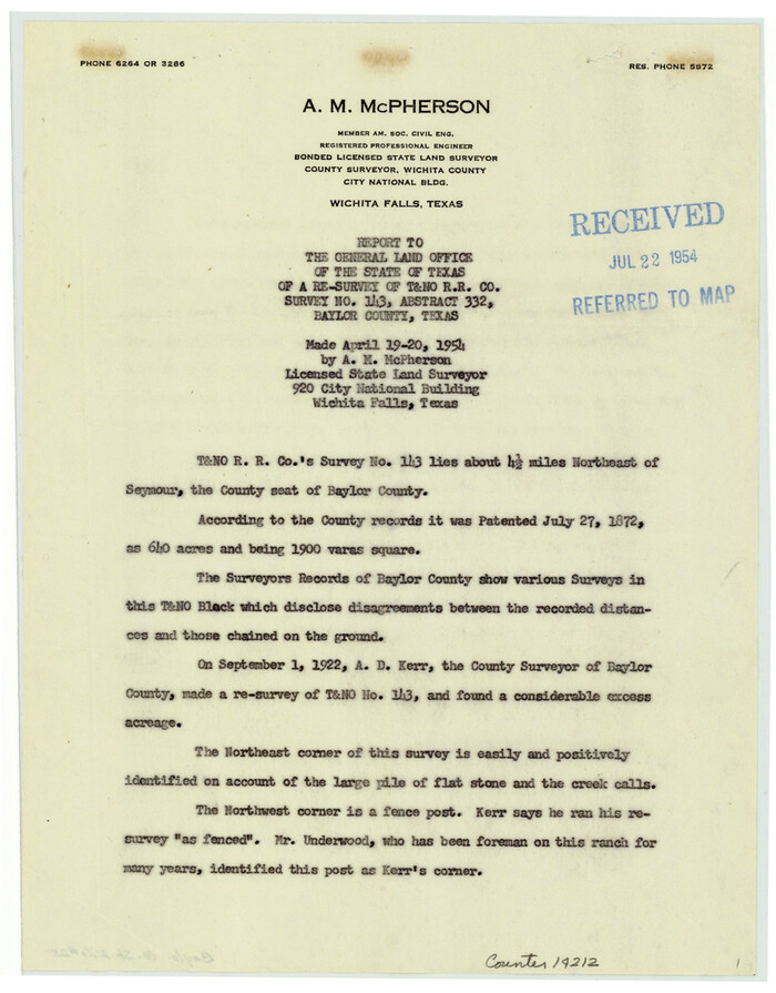
Baylor County Sketch File 25
14212, Baylor County Sketch File 25, General Map Collection
Print $46.00 - Digital $50.00

Baylor County Sketch File 25

1954

Size: 11.5 x 9.0 inches
14212
Baylor County Aerial Photograph Index Sheet 1
83663, Baylor County Aerial Photograph Index Sheet 1, General Map Collection
Print $20.00 - Digital $50.00

Baylor County Aerial Photograph Index Sheet 1

1950
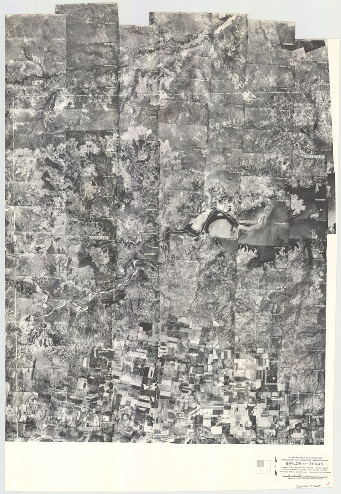
Size: 21.4 x 17.4 inches
83663
Baylor County Aerial Photograph Index Sheet 2
83664, Baylor County Aerial Photograph Index Sheet 2, General Map Collection
Print $20.00 - Digital $50.00

Baylor County Aerial Photograph Index Sheet 2

1950
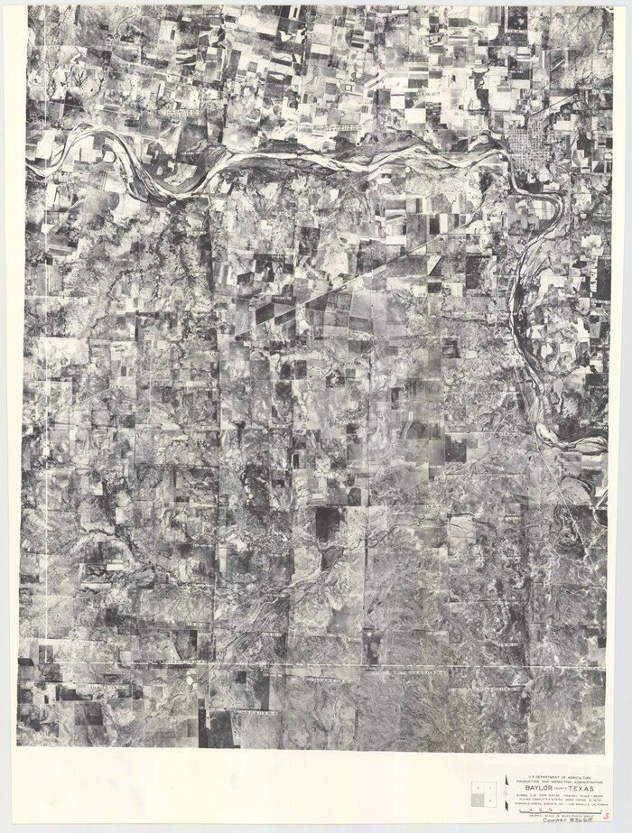
Size: 22.2 x 15.4 inches
83664
Baylor County Aerial Photograph Index Sheet 3
83665, Baylor County Aerial Photograph Index Sheet 3, General Map Collection
Print $20.00 - Digital $50.00

Baylor County Aerial Photograph Index Sheet 3

1950
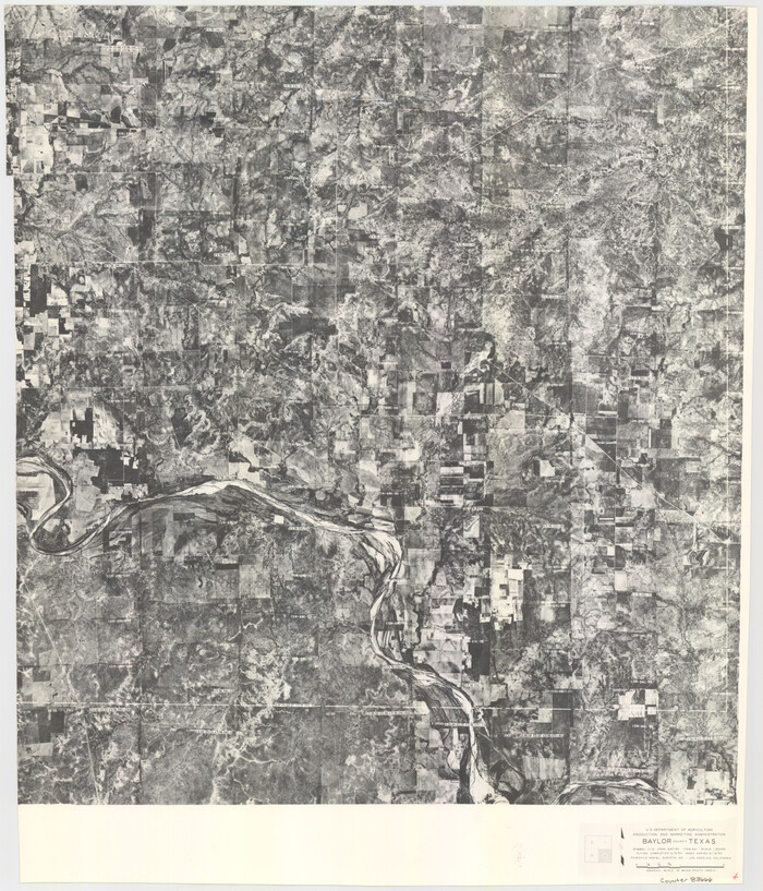
Size: 20.4 x 15.5 inches
83665
Baylor County Aerial Photograph Index Sheet 4
83666, Baylor County Aerial Photograph Index Sheet 4, General Map Collection
Print $20.00 - Digital $50.00

Baylor County Aerial Photograph Index Sheet 4

1950

Size: 20.3 x 17.4 inches
83666
Baylor County Working Sketch 7
67292.tif
Print $20.00 - Digital $50.00

Baylor County Working Sketch 7

1950

Size: 31.4 x 24.0 inches
67292
Baylor County Working Sketch 6
67291.tif
Print $20.00 - Digital $50.00

Baylor County Working Sketch 6

1943

Size: 27.5 x 41.0 inches
67291
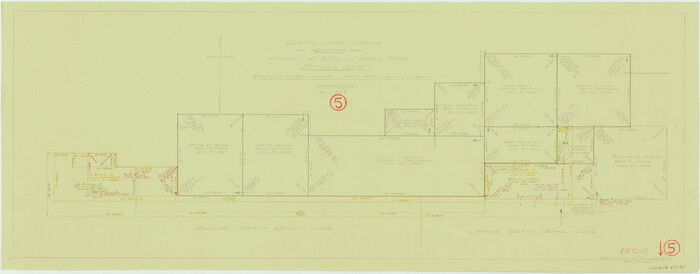
Baylor County Working Sketch 5
67290.tif
Print $20.00 - Digital $50.00

Baylor County Working Sketch 5

1940

Size: 11.9 x 30.4 inches
67290
General Highway Map, Baylor County, Texas
79013.tif
Print $20.00

General Highway Map, Baylor County, Texas

1940

Size: 18.3 x 25.1 inches
79013
Baylor County Working Sketch 4
67289.tif
Print $20.00 - Digital $50.00

Baylor County Working Sketch 4

1938

Size: 30.4 x 21.0 inches
67289
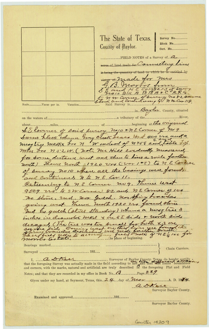
Baylor County Sketch File 24
14209, Baylor County Sketch File 24, General Map Collection
Print $6.00 - Digital $50.00

Baylor County Sketch File 24

1934

Size: 13.9 x 8.8 inches
14209
Knox County Sketch File 23
11963, Knox County Sketch File 23, General Map Collection
Print $20.00 - Digital $50.00

Knox County Sketch File 23

1931

Size: 21.4 x 15.3 inches
11963
Baylor County Working Sketch 3
67288.tif
Print $20.00 - Digital $50.00

Baylor County Working Sketch 3

1929

Size: 37.8 x 36.5 inches
67288
Throckmorton County Rolled Sketch 1
7984.tif
Print $20.00 - Digital $50.00

Throckmorton County Rolled Sketch 1

1927

Size: 23.5 x 30.3 inches
7984
Baylor County Rolled Sketch 12
5129, Baylor County Rolled Sketch 12, General Map Collection
Print $20.00 - Digital $50.00

Baylor County Rolled Sketch 12

1986

  • Size

    22.4 x 36.0 inches

  • Map/Doc

    5129

  • Creation Date

    1986

Baylor County Working Sketch 14
67299, Baylor County Working Sketch 14, General Map Collection
Print $40.00 - Digital $50.00

Baylor County Working Sketch 14

1982

  • Size

    33.5 x 55.1 inches

  • Map/Doc

    67299

  • Creation Date

    1982

Baylor County
73077, Baylor County , General Map Collection
Print $20.00 - Digital $50.00

Baylor County

1961

  • Size

    42.5 x 34.8 inches

  • Map/Doc

    73077

  • Creation Date

    1961

Baylor County
77209, Baylor County, General Map Collection
Print $20.00 - Digital $50.00

Baylor County

1961

  • Size

    40.6 x 33.0 inches

  • Map/Doc

    77209

  • Creation Date

    1961

Baylor County Working Sketch 13
67298, Baylor County Working Sketch 13, General Map Collection
Print $20.00 - Digital $50.00

Baylor County Working Sketch 13

1961

  • Size

    22.4 x 20.0 inches

  • Map/Doc

    67298

  • Creation Date

    1961

Baylor County Working Sketch Graphic Index
76463, Baylor County Working Sketch Graphic Index, General Map Collection
Print $20.00 - Digital $50.00

Baylor County Working Sketch Graphic Index

1961

  • Size

    41.1 x 33.6 inches

  • Map/Doc

    76463

  • Creation Date

    1961

Baylor County
95426, Baylor County, General Map Collection
Print $20.00 - Digital $50.00

Baylor County

1961

  • Size

    43.0 x 35.2 inches

  • Map/Doc

    95426

  • Creation Date

    1961

General Highway Map, Baylor County, Texas
79363, General Highway Map, Baylor County, Texas, Texas State Library and Archives
Print $20.00

General Highway Map, Baylor County, Texas

1961

  • Size

    18.3 x 24.8 inches

  • Map/Doc

    79363

  • Creation Date

    1961

Baylor County Working Sketch 12
67297, Baylor County Working Sketch 12, General Map Collection
Print $20.00 - Digital $50.00

Baylor County Working Sketch 12

1960

  • Size

    27.3 x 21.6 inches

  • Map/Doc

    67297

  • Creation Date

    1960

Knox County Sketch File 26
29262, Knox County Sketch File 26, General Map Collection
Print $40.00 - Digital $50.00

Knox County Sketch File 26

1957

  • Size

    17.3 x 14.4 inches

  • Map/Doc

    29262

  • Creation Date

    1957

Baylor County Working Sketch 11
67296, Baylor County Working Sketch 11, General Map Collection
Print $20.00 - Digital $50.00

Baylor County Working Sketch 11

1957

  • Size

    20.0 x 47.8 inches

  • Map/Doc

    67296

  • Creation Date

    1957

Baylor County Working Sketch 10
67295, Baylor County Working Sketch 10, General Map Collection
Print $20.00 - Digital $50.00

Baylor County Working Sketch 10

1956

  • Size

    37.7 x 18.7 inches

  • Map/Doc

    67295

  • Creation Date

    1956

Baylor County Working Sketch 9
67294, Baylor County Working Sketch 9, General Map Collection
Print $20.00 - Digital $50.00

Baylor County Working Sketch 9

1956

  • Size

    24.7 x 27.4 inches

  • Map/Doc

    67294

  • Creation Date

    1956

Throckmorton County Sketch File 10
38102, Throckmorton County Sketch File 10, General Map Collection
Print $6.00 - Digital $50.00

Throckmorton County Sketch File 10

1955

  • Size

    11.2 x 8.8 inches

  • Map/Doc

    38102

  • Creation Date

    1955

Baylor County Working Sketch 8
67293, Baylor County Working Sketch 8, General Map Collection
Print $20.00 - Digital $50.00

Baylor County Working Sketch 8

1955

  • Size

    44.1 x 20.7 inches

  • Map/Doc

    67293

  • Creation Date

    1955

S. M. S. Throckmorton Ranch, Throckmorton, Haskell, Baylor Cos.
2104, S. M. S. Throckmorton Ranch, Throckmorton, Haskell, Baylor Cos., General Map Collection
Print $20.00 - Digital $50.00

S. M. S. Throckmorton Ranch, Throckmorton, Haskell, Baylor Cos.

1955

  • Size

    33.8 x 45.1 inches

  • Map/Doc

    2104

  • Creation Date

    1955

Baylor County Sketch File 25
14212, Baylor County Sketch File 25, General Map Collection
Print $46.00 - Digital $50.00

Baylor County Sketch File 25

1954

  • Size

    11.5 x 9.0 inches

  • Map/Doc

    14212

  • Creation Date

    1954

Baylor County Aerial Photograph Index Sheet 1
83663, Baylor County Aerial Photograph Index Sheet 1, General Map Collection
Print $20.00 - Digital $50.00

Baylor County Aerial Photograph Index Sheet 1

1950

  • Size

    21.4 x 17.4 inches

  • Map/Doc

    83663

  • Creation Date

    1950

Baylor County Aerial Photograph Index Sheet 2
83664, Baylor County Aerial Photograph Index Sheet 2, General Map Collection
Print $20.00 - Digital $50.00

Baylor County Aerial Photograph Index Sheet 2

1950

  • Size

    22.2 x 15.4 inches

  • Map/Doc

    83664

  • Creation Date

    1950

Baylor County Aerial Photograph Index Sheet 3
83665, Baylor County Aerial Photograph Index Sheet 3, General Map Collection
Print $20.00 - Digital $50.00

Baylor County Aerial Photograph Index Sheet 3

1950

  • Size

    20.4 x 15.5 inches

  • Map/Doc

    83665

  • Creation Date

    1950

Baylor County Aerial Photograph Index Sheet 4
83666, Baylor County Aerial Photograph Index Sheet 4, General Map Collection
Print $20.00 - Digital $50.00

Baylor County Aerial Photograph Index Sheet 4

1950

  • Size

    20.3 x 17.4 inches

  • Map/Doc

    83666

  • Creation Date

    1950

Baylor County Working Sketch 7
67292, Baylor County Working Sketch 7, General Map Collection
Print $20.00 - Digital $50.00

Baylor County Working Sketch 7

1950

  • Size

    31.4 x 24.0 inches

  • Map/Doc

    67292

  • Creation Date

    1950

Baylor County Working Sketch 6
67291, Baylor County Working Sketch 6, General Map Collection
Print $20.00 - Digital $50.00

Baylor County Working Sketch 6

1943

  • Size

    27.5 x 41.0 inches

  • Map/Doc

    67291

  • Creation Date

    1943

Baylor County Working Sketch 5
67290, Baylor County Working Sketch 5, General Map Collection
Print $20.00 - Digital $50.00

Baylor County Working Sketch 5

1940

  • Size

    11.9 x 30.4 inches

  • Map/Doc

    67290

  • Creation Date

    1940

General Highway Map, Baylor County, Texas
79013, General Highway Map, Baylor County, Texas, Texas State Library and Archives
Print $20.00

General Highway Map, Baylor County, Texas

1940

  • Size

    18.3 x 25.1 inches

  • Map/Doc

    79013

  • Creation Date

    1940

Baylor County Working Sketch 4
67289, Baylor County Working Sketch 4, General Map Collection
Print $20.00 - Digital $50.00

Baylor County Working Sketch 4

1938

  • Size

    30.4 x 21.0 inches

  • Map/Doc

    67289

  • Creation Date

    1938

Baylor County Sketch File 24
14209, Baylor County Sketch File 24, General Map Collection
Print $6.00 - Digital $50.00

Baylor County Sketch File 24

1934

  • Size

    13.9 x 8.8 inches

  • Map/Doc

    14209

  • Creation Date

    1934

Knox County Sketch File 23
11963, Knox County Sketch File 23, General Map Collection
Print $20.00 - Digital $50.00

Knox County Sketch File 23

1931

  • Size

    21.4 x 15.3 inches

  • Map/Doc

    11963

  • Creation Date

    1931

Baylor County Working Sketch 3
67288, Baylor County Working Sketch 3, General Map Collection
Print $20.00 - Digital $50.00

Baylor County Working Sketch 3

1929

  • Size

    37.8 x 36.5 inches

  • Map/Doc

    67288

  • Creation Date

    1929

Throckmorton County Rolled Sketch 1
7984, Throckmorton County Rolled Sketch 1, General Map Collection
Print $20.00 - Digital $50.00

Throckmorton County Rolled Sketch 1

1927

  • Size

    23.5 x 30.3 inches

  • Map/Doc

    7984

  • Creation Date

    1927