496 results

Arroyo Colorado, La Feria Sheet
65128.tif
Print $40.00 - Digital $50.00

Arroyo Colorado, La Feria Sheet

1929

Size: 24.6 x 58.5 inches
65128
Arroyo Colorado, Rio Hondo Sheet
65129.tif
Print $40.00 - Digital $50.00

Arroyo Colorado, Rio Hondo Sheet

1929

Size: 35.0 x 52.6 inches
65129
Boundary Between U.S. - Mexico, 1853
65416.tif
Print $20.00 - Digital $50.00

Boundary Between U.S. - Mexico, 1853

1954

Size: 24.3 x 18.4 inches
65416
Boundary Between the United States & Mexico Agreed Upon by the Joint Commission under the Treaty of Guadalupe Hidalgo
65391.tif
Print $4.00 - Digital $50.00

Boundary Between the United States & Mexico Agreed Upon by the Joint Commission under the Treaty of Guadalupe Hidalgo

1853
Size: 24.0 x 17.6 inches
65391
Boundary Between the United States & Mexico Agreed Upon by the Joint Commission under the Treaty of Guadalupe Hidalgo
65392.tif
Print $20.00 - Digital $50.00

Boundary Between the United States & Mexico Agreed Upon by the Joint Commission under the Treaty of Guadalupe Hidalgo

1853
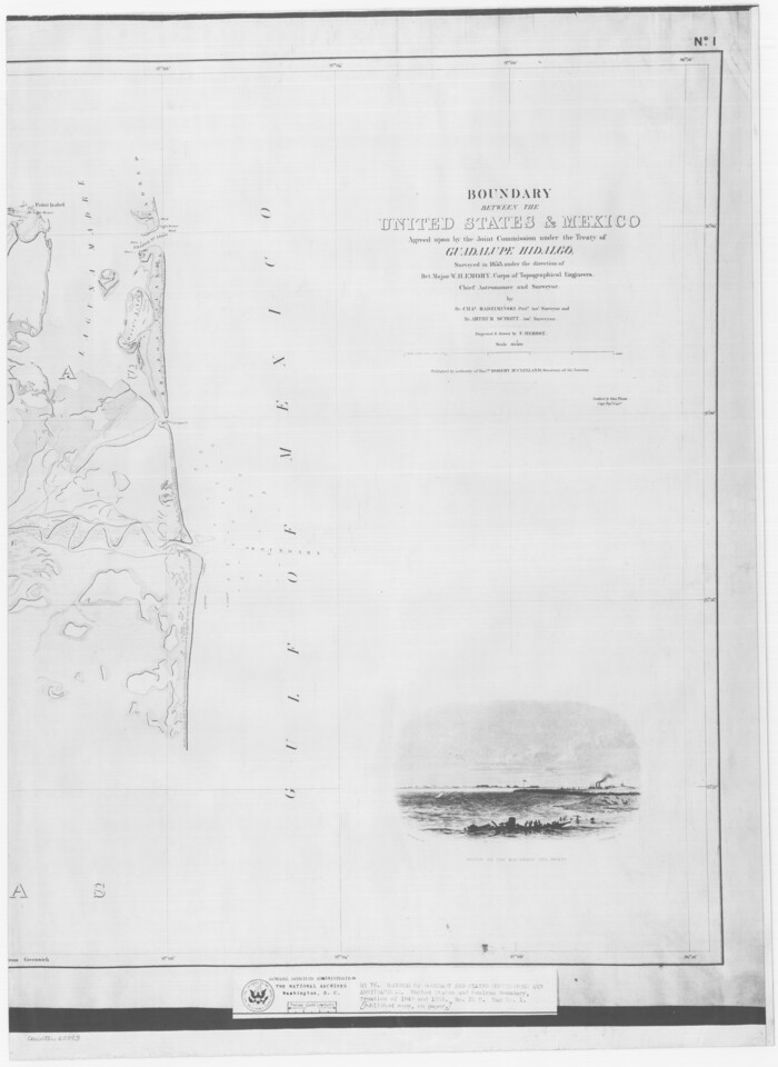
Size: 17.7 x 23.8 inches
65392
Boundary Between the United States & Mexico Agreed Upon by the Joint Commission under the Treaty of Guadalupe Hidalgo
65393.tif
Print $4.00 - Digital $50.00

Boundary Between the United States & Mexico Agreed Upon by the Joint Commission under the Treaty of Guadalupe Hidalgo

1853

Size: 24.9 x 18.1 inches
65393
Boundary Between the United States & Mexico Agreed Upon by the Joint Commission under the Treaty of Guadalupe Hidalgo
65394.tif
Print $4.00 - Digital $50.00

Boundary Between the United States & Mexico Agreed Upon by the Joint Commission under the Treaty of Guadalupe Hidalgo

1853

Size: 24.5 x 18.4 inches
65394
Boundary Between the United States & Mexico Agreed Upon by the Joint Commission under the Treaty of Guadalupe Hidalgo
65395.tif
Print $4.00 - Digital $50.00

Boundary Between the United States & Mexico Agreed Upon by the Joint Commission under the Treaty of Guadalupe Hidalgo

1853

Size: 24.4 x 18.8 inches
65395
Boundary Between the United States & Mexico Agreed Upon by the Joint Commission under the Treaty of Guadalupe Hidalgo
65396.tif
Print $20.00 - Digital $50.00

Boundary Between the United States & Mexico Agreed Upon by the Joint Commission under the Treaty of Guadalupe Hidalgo

1853
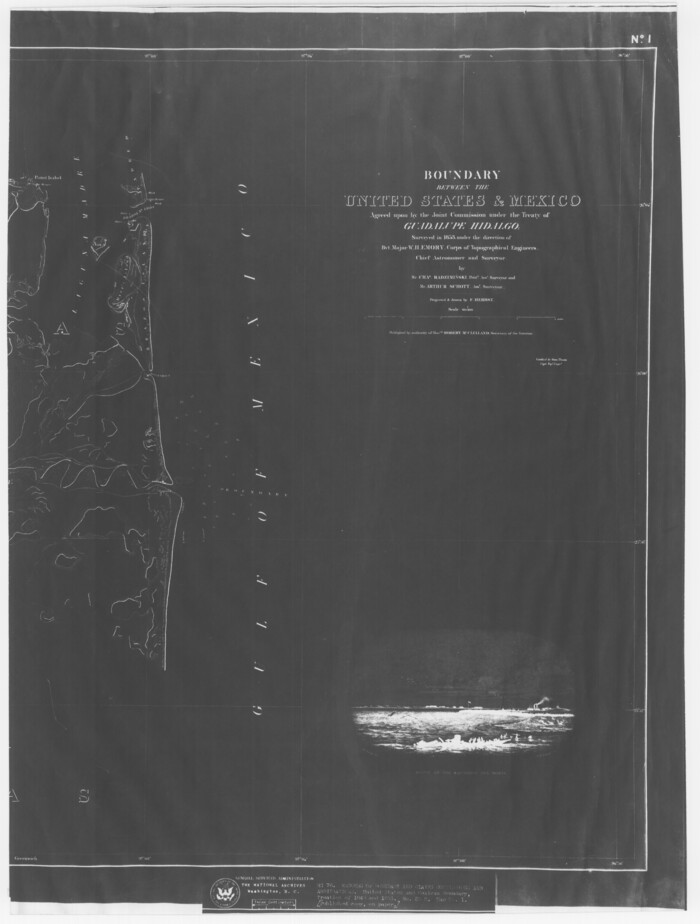
Size: 24.0 x 18.3 inches
65396
Boundary Between the United States & Mexico Agreed Upon by the Joint Commission under the Treaty of Guadalupe Hidalgo
65397.tif
Print $20.00 - Digital $50.00

Boundary Between the United States & Mexico Agreed Upon by the Joint Commission under the Treaty of Guadalupe Hidalgo

1853
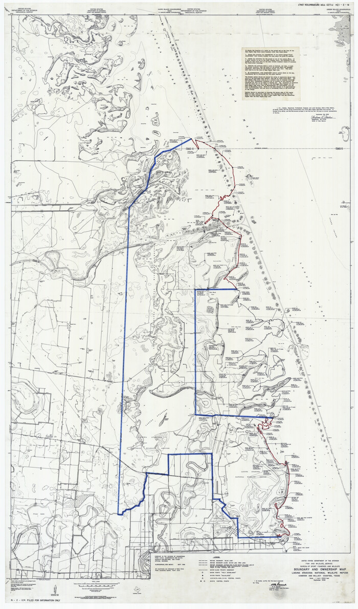
Size: 24.2 x 18.4 inches
65397
Boundary and Ownership map, Laguna Atascosa National Wildlife Refuge, Cameron and Willacy Counties, Texas
60394.tif
Print $40.00 - Digital $50.00

Boundary and Ownership map, Laguna Atascosa National Wildlife Refuge, Cameron and Willacy Counties, Texas

1968
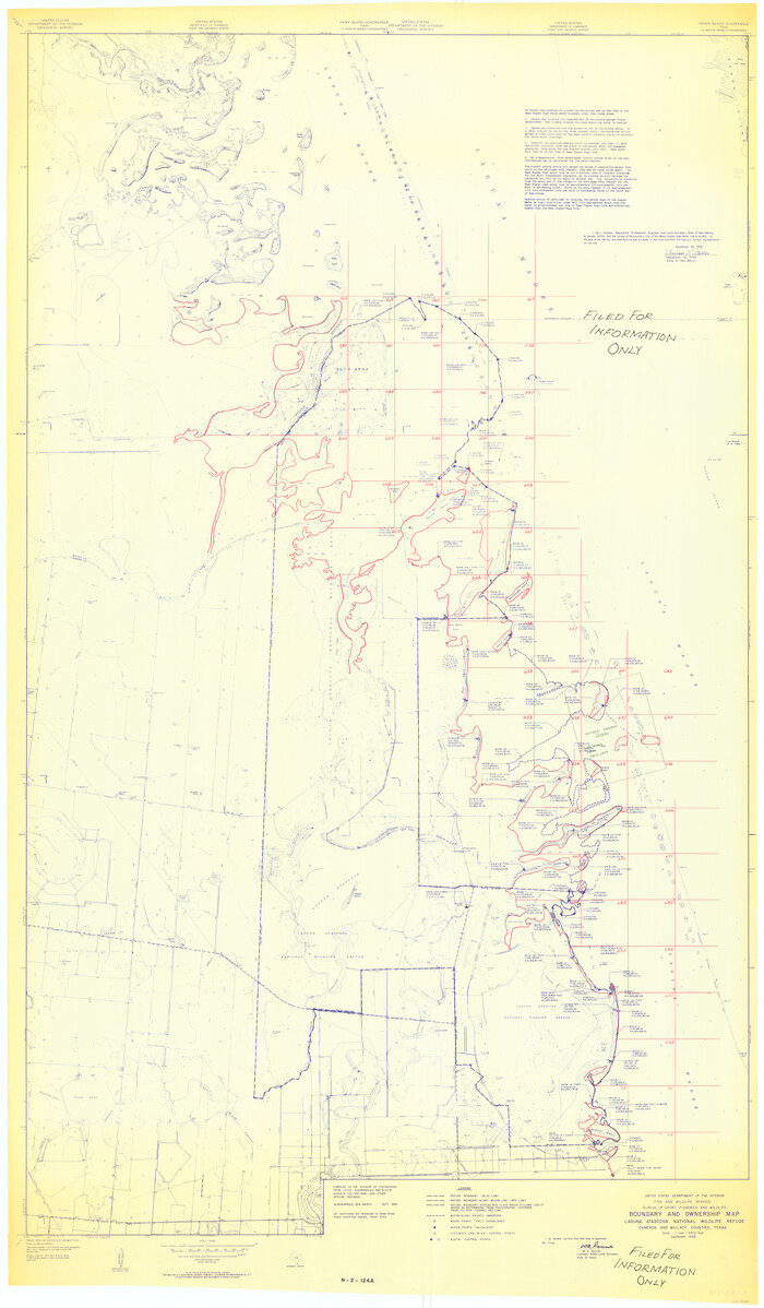
Size: 73.1 x 43.0 inches
60394
Boundary and Ownership map, Laguna Atascosa National Wildlife Refuge, Cameron and Willacy Counties, Texas
60395.tif
Print $40.00 - Digital $50.00

Boundary and Ownership map, Laguna Atascosa National Wildlife Refuge, Cameron and Willacy Counties, Texas

1968

Size: 73.9 x 43.2 inches
60395
Brazos Island Harbor, Texas - Dredging Entrance Channel Plan
83337.tif
Print $20.00 - Digital $50.00

Brazos Island Harbor, Texas - Dredging Entrance Channel Plan

1990
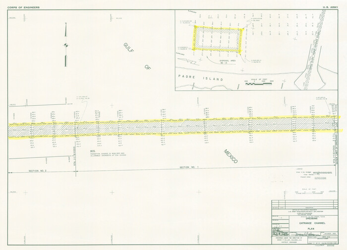
Size: 14.6 x 20.0 inches
83337
Brazos Island Harbor, Texas - Dredging Entrance Channel Plan
83338.tif
Print $20.00 - Digital $50.00

Brazos Island Harbor, Texas - Dredging Entrance Channel Plan

1990
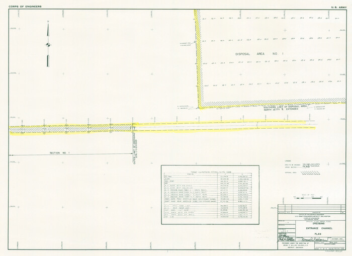
Size: 14.5 x 20.1 inches
83338
Brazos Island Harbor, Texas - Dredging Entrance Channel Plan
83339.tif
Print $20.00 - Digital $50.00

Brazos Island Harbor, Texas - Dredging Entrance Channel Plan

1990

Size: 14.5 x 19.9 inches
83339
Brazos Santiago, Texas
97186.tif
Print $20.00 - Digital $50.00

Brazos Santiago, Texas

1882

Size: 9.0 x 16.9 inches
97186
Cameron Co.
4751.tif
Print $20.00 - Digital $50.00

Cameron Co.

1863

Size: 47.1 x 23.5 inches
4751
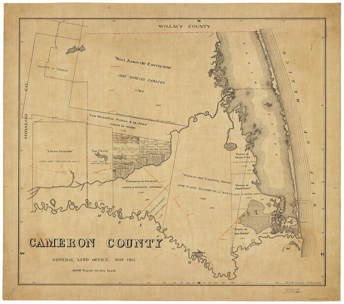
Cameron County
1793-GC.tif
Print $20.00 - Digital $50.00

Cameron County

1913

Size: 30.0 x 33.8 inches
1793
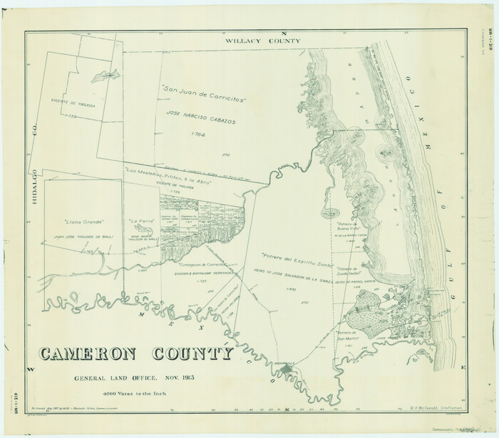
Cameron County
4752-GC.tif
Print $20.00 - Digital $50.00

Cameron County

1913

Size: 28.9 x 32.1 inches
4752
Cameron County
4902-GC.tif
Print $20.00 - Digital $50.00

Cameron County

1913

Size: 29.3 x 33.6 inches
4902
Cameron County
66746.tif
Print $20.00 - Digital $50.00

Cameron County

1913

Size: 29.8 x 33.9 inches
66746
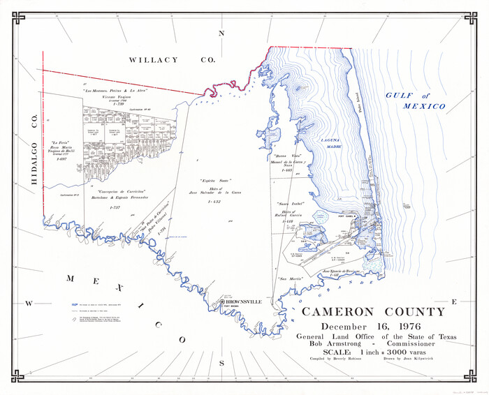
Cameron County
73098.tif
Print $20.00 - Digital $50.00

Cameron County

1976

Size: 32.2 x 39.0 inches
73098
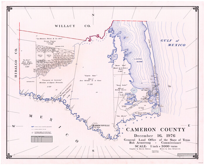
Cameron County
77230.tif
Print $20.00 - Digital $50.00

Cameron County

1976

Size: 30.9 x 38.1 inches
77230
Cameron County
95447.tif
Print $20.00 - Digital $50.00

Cameron County

1976

Size: 31.0 x 38.3 inches
95447
Cameron County Aerial Photograph Index Sheet 3
83675, Cameron County Aerial Photograph Index Sheet 3, General Map Collection
Print $20.00 - Digital $50.00

Cameron County Aerial Photograph Index Sheet 3

1955

Size: 21.1 x 17.4 inches
83675
Cameron County Aerial Photograph Index Sheet 4
83676, Cameron County Aerial Photograph Index Sheet 4, General Map Collection
Print $20.00 - Digital $50.00

Cameron County Aerial Photograph Index Sheet 4

1955
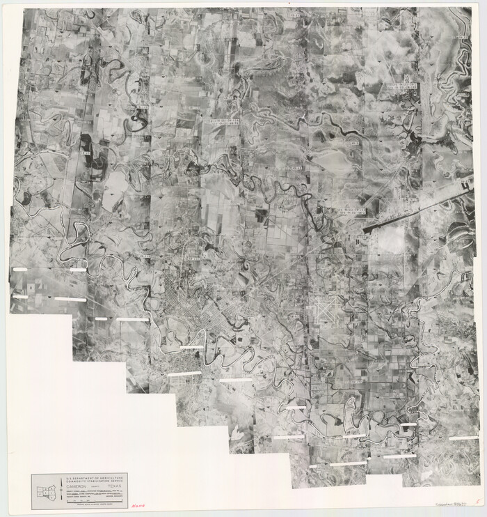
Size: 19.3 x 17.4 inches
83676
Cameron County Aerial Photograph Index Sheet 5
83677, Cameron County Aerial Photograph Index Sheet 5, General Map Collection
Print $20.00 - Digital $50.00

Cameron County Aerial Photograph Index Sheet 5

1955
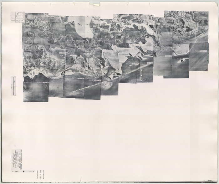
Size: 18.8 x 17.8 inches
83677
Cameron County Aerial Photograph Index Sheet 5
83681, Cameron County Aerial Photograph Index Sheet 5, General Map Collection
Print $20.00 - Digital $50.00

Cameron County Aerial Photograph Index Sheet 5

1940

Size: 20.4 x 24.3 inches
83681
Cameron County Aerial Photograph Index Sheet 6
83678, Cameron County Aerial Photograph Index Sheet 6, General Map Collection
Print $20.00 - Digital $50.00

Cameron County Aerial Photograph Index Sheet 6

1955
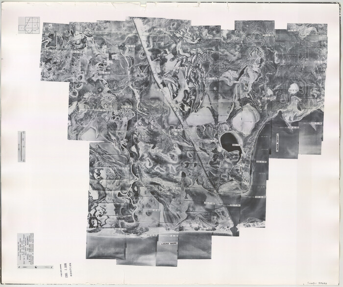
Size: 20.6 x 14.0 inches
83678
Cameron County Aerial Photograph Index Sheet 6
83682, Cameron County Aerial Photograph Index Sheet 6, General Map Collection
Print $20.00 - Digital $50.00

Cameron County Aerial Photograph Index Sheet 6

1940

Size: 20.3 x 24.3 inches
83682
Arroyo Colorado, La Feria Sheet
65128, Arroyo Colorado, La Feria Sheet, General Map Collection
Print $40.00 - Digital $50.00

Arroyo Colorado, La Feria Sheet

1929

  • Size

    24.6 x 58.5 inches

  • Map/Doc

    65128

  • Creation Date

    1929

Arroyo Colorado, Rio Hondo Sheet
65129, Arroyo Colorado, Rio Hondo Sheet, General Map Collection
Print $40.00 - Digital $50.00

Arroyo Colorado, Rio Hondo Sheet

1929

  • Size

    35.0 x 52.6 inches

  • Map/Doc

    65129

  • Creation Date

    1929

Boundary Between U.S. - Mexico, 1853
65416, Boundary Between U.S. - Mexico, 1853, General Map Collection
Print $20.00 - Digital $50.00

Boundary Between U.S. - Mexico, 1853

1954

  • Size

    24.3 x 18.4 inches

  • Map/Doc

    65416

  • Creation Date

    1954

Boundary Between the United States & Mexico Agreed Upon by the Joint Commission under the Treaty of Guadalupe Hidalgo
65391, Boundary Between the United States & Mexico Agreed Upon by the Joint Commission under the Treaty of Guadalupe Hidalgo, General Map Collection
Print $4.00 - Digital $50.00

Boundary Between the United States & Mexico Agreed Upon by the Joint Commission under the Treaty of Guadalupe Hidalgo

1853

  • Size

    24.0 x 17.6 inches

  • Map/Doc

    65391

  • Creation Date

    1853

Boundary Between the United States & Mexico Agreed Upon by the Joint Commission under the Treaty of Guadalupe Hidalgo
65392, Boundary Between the United States & Mexico Agreed Upon by the Joint Commission under the Treaty of Guadalupe Hidalgo, General Map Collection
Print $20.00 - Digital $50.00

Boundary Between the United States & Mexico Agreed Upon by the Joint Commission under the Treaty of Guadalupe Hidalgo

1853

  • Size

    17.7 x 23.8 inches

  • Map/Doc

    65392

  • Creation Date

    1853

Boundary Between the United States & Mexico Agreed Upon by the Joint Commission under the Treaty of Guadalupe Hidalgo
65393, Boundary Between the United States & Mexico Agreed Upon by the Joint Commission under the Treaty of Guadalupe Hidalgo, General Map Collection
Print $4.00 - Digital $50.00

Boundary Between the United States & Mexico Agreed Upon by the Joint Commission under the Treaty of Guadalupe Hidalgo

1853

  • Size

    24.9 x 18.1 inches

  • Map/Doc

    65393

  • Creation Date

    1853

Boundary Between the United States & Mexico Agreed Upon by the Joint Commission under the Treaty of Guadalupe Hidalgo
65394, Boundary Between the United States & Mexico Agreed Upon by the Joint Commission under the Treaty of Guadalupe Hidalgo, General Map Collection
Print $4.00 - Digital $50.00

Boundary Between the United States & Mexico Agreed Upon by the Joint Commission under the Treaty of Guadalupe Hidalgo

1853

  • Size

    24.5 x 18.4 inches

  • Map/Doc

    65394

  • Creation Date

    1853

Boundary Between the United States & Mexico Agreed Upon by the Joint Commission under the Treaty of Guadalupe Hidalgo
65395, Boundary Between the United States & Mexico Agreed Upon by the Joint Commission under the Treaty of Guadalupe Hidalgo, General Map Collection
Print $4.00 - Digital $50.00

Boundary Between the United States & Mexico Agreed Upon by the Joint Commission under the Treaty of Guadalupe Hidalgo

1853

  • Size

    24.4 x 18.8 inches

  • Map/Doc

    65395

  • Creation Date

    1853

Boundary Between the United States & Mexico Agreed Upon by the Joint Commission under the Treaty of Guadalupe Hidalgo
65396, Boundary Between the United States & Mexico Agreed Upon by the Joint Commission under the Treaty of Guadalupe Hidalgo, General Map Collection
Print $20.00 - Digital $50.00

Boundary Between the United States & Mexico Agreed Upon by the Joint Commission under the Treaty of Guadalupe Hidalgo

1853

  • Size

    24.0 x 18.3 inches

  • Map/Doc

    65396

  • Creation Date

    1853

Boundary Between the United States & Mexico Agreed Upon by the Joint Commission under the Treaty of Guadalupe Hidalgo
65397, Boundary Between the United States & Mexico Agreed Upon by the Joint Commission under the Treaty of Guadalupe Hidalgo, General Map Collection
Print $20.00 - Digital $50.00

Boundary Between the United States & Mexico Agreed Upon by the Joint Commission under the Treaty of Guadalupe Hidalgo

1853

  • Size

    24.2 x 18.4 inches

  • Map/Doc

    65397

  • Creation Date

    1853

Boundary and Ownership map, Laguna Atascosa National Wildlife Refuge, Cameron and Willacy Counties, Texas
60394, Boundary and Ownership map, Laguna Atascosa National Wildlife Refuge, Cameron and Willacy Counties, Texas, General Map Collection
Print $40.00 - Digital $50.00

Boundary and Ownership map, Laguna Atascosa National Wildlife Refuge, Cameron and Willacy Counties, Texas

1968

  • Size

    73.1 x 43.0 inches

  • Map/Doc

    60394

  • Creation Date

    1968

Boundary and Ownership map, Laguna Atascosa National Wildlife Refuge, Cameron and Willacy Counties, Texas
60395, Boundary and Ownership map, Laguna Atascosa National Wildlife Refuge, Cameron and Willacy Counties, Texas, General Map Collection
Print $40.00 - Digital $50.00

Boundary and Ownership map, Laguna Atascosa National Wildlife Refuge, Cameron and Willacy Counties, Texas

1968

  • Size

    73.9 x 43.2 inches

  • Map/Doc

    60395

  • Creation Date

    1968

Brazos Island Harbor, Texas - Dredging Entrance Channel Plan
83337, Brazos Island Harbor, Texas - Dredging Entrance Channel Plan, General Map Collection
Print $20.00 - Digital $50.00

Brazos Island Harbor, Texas - Dredging Entrance Channel Plan

1990

  • Size

    14.6 x 20.0 inches

  • Map/Doc

    83337

  • Creation Date

    1990

Brazos Island Harbor, Texas - Dredging Entrance Channel Plan
83338, Brazos Island Harbor, Texas - Dredging Entrance Channel Plan, General Map Collection
Print $20.00 - Digital $50.00

Brazos Island Harbor, Texas - Dredging Entrance Channel Plan

1990

  • Size

    14.5 x 20.1 inches

  • Map/Doc

    83338

  • Creation Date

    1990

Brazos Island Harbor, Texas - Dredging Entrance Channel Plan
83339, Brazos Island Harbor, Texas - Dredging Entrance Channel Plan, General Map Collection
Print $20.00 - Digital $50.00

Brazos Island Harbor, Texas - Dredging Entrance Channel Plan

1990

  • Size

    14.5 x 19.9 inches

  • Map/Doc

    83339

  • Creation Date

    1990

Brazos Santiago, Texas
97186, Brazos Santiago, Texas, General Map Collection
Print $20.00 - Digital $50.00

Brazos Santiago, Texas

1882

  • Size

    9.0 x 16.9 inches

  • Map/Doc

    97186

  • Creation Date

    1882

Cameron Co.
4751, Cameron Co., General Map Collection
Print $20.00 - Digital $50.00

Cameron Co.

1863

  • Size

    47.1 x 23.5 inches

  • Map/Doc

    4751

  • Creation Date

    1863

Cameron County
1793, Cameron County, General Map Collection
Print $20.00 - Digital $50.00

Cameron County

1913

  • Size

    30.0 x 33.8 inches

  • Map/Doc

    1793

  • Creation Date

    1913

Cameron County
4752, Cameron County, General Map Collection
Print $20.00 - Digital $50.00

Cameron County

1913

  • Size

    28.9 x 32.1 inches

  • Map/Doc

    4752

  • Creation Date

    1913

Cameron County
4902, Cameron County, General Map Collection
Print $20.00 - Digital $50.00

Cameron County

1913

  • Size

    29.3 x 33.6 inches

  • Map/Doc

    4902

  • Creation Date

    1913

Cameron County
66746, Cameron County, General Map Collection
Print $20.00 - Digital $50.00

Cameron County

1913

  • Size

    29.8 x 33.9 inches

  • Map/Doc

    66746

  • Creation Date

    1913

Cameron County
73098, Cameron County , General Map Collection
Print $20.00 - Digital $50.00

Cameron County

1976

  • Size

    32.2 x 39.0 inches

  • Map/Doc

    73098

  • Creation Date

    1976

Cameron County
77230, Cameron County, General Map Collection
Print $20.00 - Digital $50.00

Cameron County

1976

  • Size

    30.9 x 38.1 inches

  • Map/Doc

    77230

  • Creation Date

    1976

Cameron County
95447, Cameron County, General Map Collection
Print $20.00 - Digital $50.00

Cameron County

1976

  • Size

    31.0 x 38.3 inches

  • Map/Doc

    95447

  • Creation Date

    1976

Cameron County Aerial Photograph Index Sheet 3
83675, Cameron County Aerial Photograph Index Sheet 3, General Map Collection
Print $20.00 - Digital $50.00

Cameron County Aerial Photograph Index Sheet 3

1955

  • Size

    21.1 x 17.4 inches

  • Map/Doc

    83675

  • Creation Date

    1955

Cameron County Aerial Photograph Index Sheet 4
83676, Cameron County Aerial Photograph Index Sheet 4, General Map Collection
Print $20.00 - Digital $50.00

Cameron County Aerial Photograph Index Sheet 4

1955

  • Size

    19.3 x 17.4 inches

  • Map/Doc

    83676

  • Creation Date

    1955

Cameron County Aerial Photograph Index Sheet 5
83677, Cameron County Aerial Photograph Index Sheet 5, General Map Collection
Print $20.00 - Digital $50.00

Cameron County Aerial Photograph Index Sheet 5

1955

  • Size

    18.8 x 17.8 inches

  • Map/Doc

    83677

  • Creation Date

    1955

Cameron County Aerial Photograph Index Sheet 5
83681, Cameron County Aerial Photograph Index Sheet 5, General Map Collection
Print $20.00 - Digital $50.00

Cameron County Aerial Photograph Index Sheet 5

1940

  • Size

    20.4 x 24.3 inches

  • Map/Doc

    83681

  • Creation Date

    1940

Cameron County Aerial Photograph Index Sheet 6
83678, Cameron County Aerial Photograph Index Sheet 6, General Map Collection
Print $20.00 - Digital $50.00

Cameron County Aerial Photograph Index Sheet 6

1955

  • Size

    20.6 x 14.0 inches

  • Map/Doc

    83678

  • Creation Date

    1955

Cameron County Aerial Photograph Index Sheet 6
83682, Cameron County Aerial Photograph Index Sheet 6, General Map Collection
Print $20.00 - Digital $50.00

Cameron County Aerial Photograph Index Sheet 6

1940

  • Size

    20.3 x 24.3 inches

  • Map/Doc

    83682

  • Creation Date

    1940