119 results

Cottle County Sketch File 18
82433, Cottle County Sketch File 18, General Map Collection
Print $46.00 - Digital $50.00

Cottle County Sketch File 18

2004

Size: 8.0 x 11.0 inches
82433
Cottle County Rolled Sketch 15
82849.tif
Print $20.00 - Digital $50.00

Cottle County Rolled Sketch 15

2004

Size: 37.2 x 37.2 inches
82849
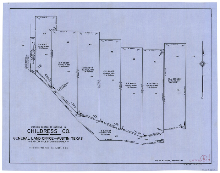
Childress County Rolled Sketch 19
81937.tif
Print $20.00 - Digital $50.00

Childress County Rolled Sketch 19

2004

Size: 24.6 x 18.6 inches
81937
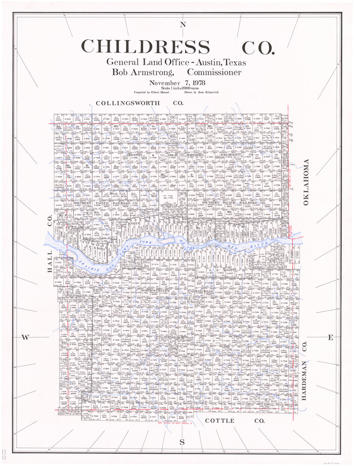
Childress Co.
73105.tif
Print $20.00 - Digital $50.00

Childress Co.

1978

Size: 46.2 x 35.0 inches
73105
Childress County Working Sketch Graphic Index
76493.tif
Print $20.00 - Digital $50.00

Childress County Working Sketch Graphic Index

1978

Size: 45.5 x 34.3 inches
76493
Childress Co.
77237.tif
Print $20.00 - Digital $50.00

Childress Co.

1978

Size: 44.6 x 33.7 inches
77237
Childress Co.
95454.tif
Print $20.00 - Digital $50.00

Childress Co.

1978

Size: 47.3 x 36.0 inches
95454
Cottle County Sketch File H
19451, Cottle County Sketch File H, General Map Collection
Print $12.00 - Digital $50.00

Cottle County Sketch File H

1976

Size: 11.2 x 8.7 inches
19451
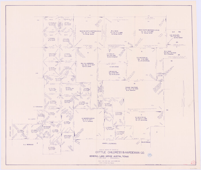
Cottle County Rolled Sketch 13
5571-1.tif
Print $20.00 - Digital $50.00

Cottle County Rolled Sketch 13

1976

Size: 21.6 x 35.5 inches
5571
Cottle County Working Sketch 14B
61795.tif
Print $20.00 - Digital $50.00

Cottle County Working Sketch 14B

1963
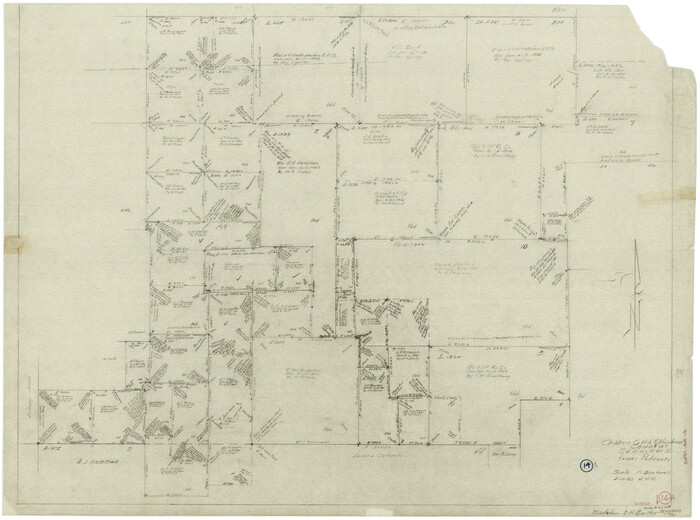
Size: 35.2 x 41.6 inches
61795
General Highway Map, Childress County, Texas
79408.tif
Print $20.00

General Highway Map, Childress County, Texas

1961
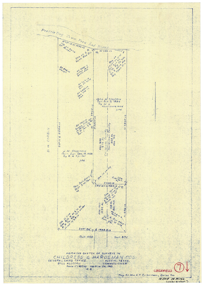
Size: 18.2 x 24.8 inches
79408
Childress County Rolled Sketch 9D
78221-1.tif
Print $3.00 - Digital $50.00

Childress County Rolled Sketch 9D

1945

Size: 16.0 x 10.0 inches
78221
Childress County Rolled Sketch 10
8601.tif
Print $20.00 - Digital $50.00

Childress County Rolled Sketch 10

1940

Size: 43.6 x 12.0 inches
8601
Childress County Rolled Sketch 11
8602.tif
Print $20.00 - Digital $50.00

Childress County Rolled Sketch 11

1940

Size: 45.3 x 12.0 inches
8602
Childress County Rolled Sketch 12
8603.tif
Print $20.00 - Digital $50.00

Childress County Rolled Sketch 12

1940

Size: 44.2 x 11.3 inches
8603
General Highway Map, Childress County, Texas
79046.tif
Print $20.00

General Highway Map, Childress County, Texas

1940

Size: 18.3 x 25.2 inches
79046
Cottle County Sketch File F
19444, Cottle County Sketch File F, General Map Collection
Print $6.00 - Digital $50.00

Cottle County Sketch File F

1935

Size: 11.5 x 8.8 inches
19444
Childress County Sketch File 18a
18364, Childress County Sketch File 18a, General Map Collection
Print $4.00 - Digital $50.00

Childress County Sketch File 18a

1935

Size: 11.3 x 7.1 inches
18364
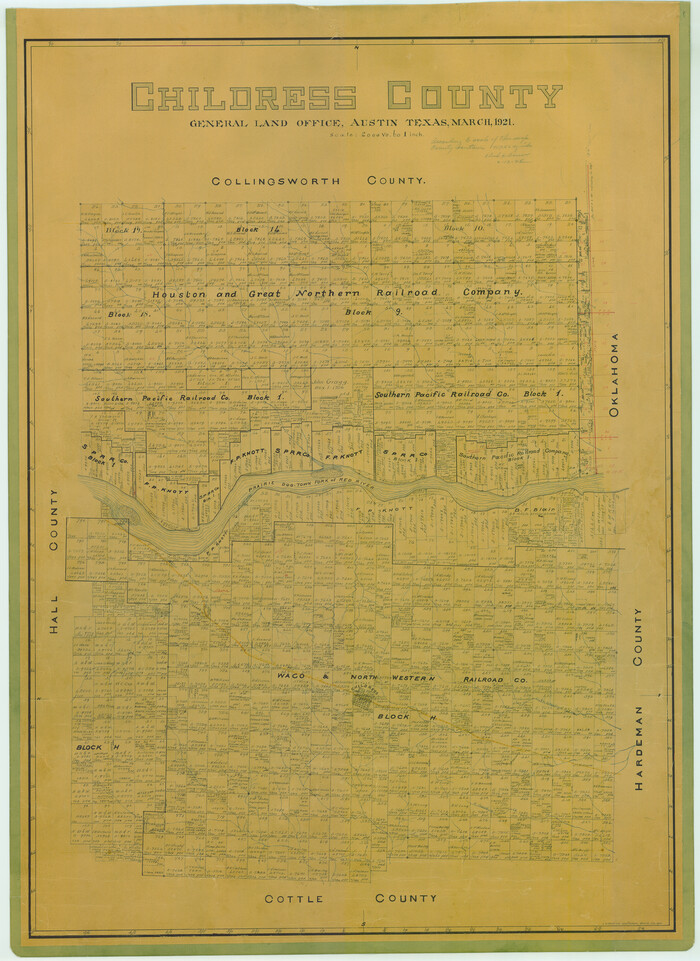
Childress County
1800.tif
Print $20.00 - Digital $50.00

Childress County

1921

Size: 43.4 x 32.3 inches
1800
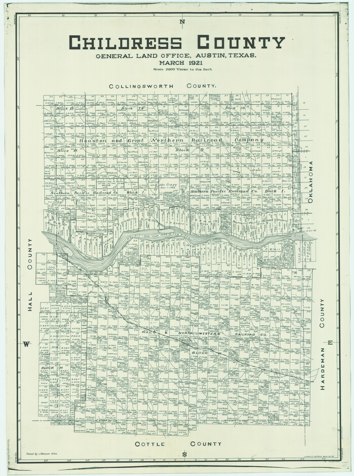
Childress County
4746.tif
Print $20.00 - Digital $50.00

Childress County

1921

Size: 44.1 x 32.2 inches
4746
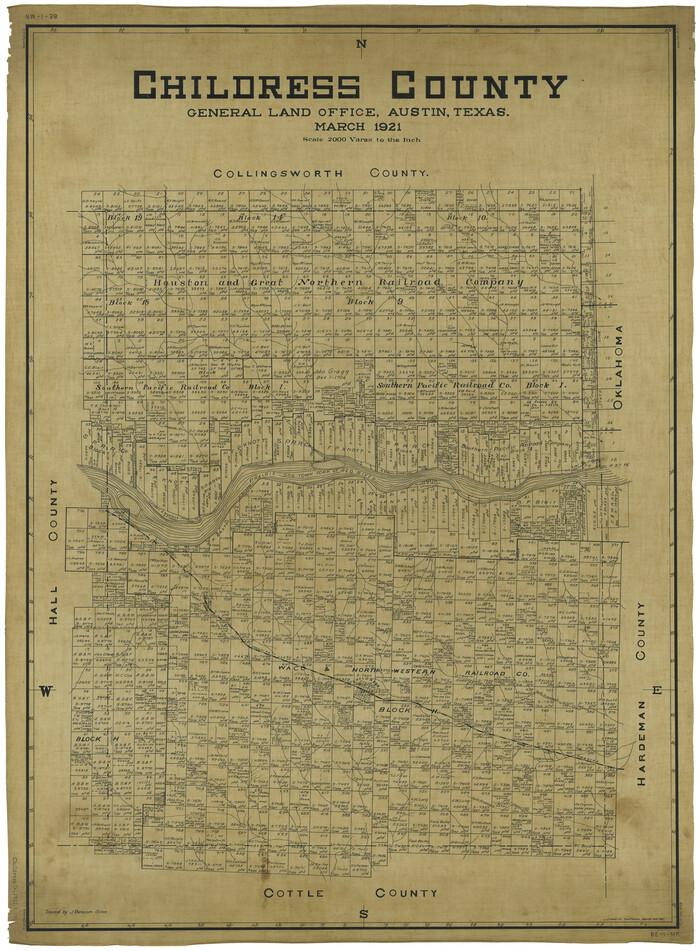
Childress County
66753.tif
Print $20.00 - Digital $50.00

Childress County

1921

Size: 43.8 x 32.6 inches
66753
Childress County Sketch File 22
18366, Childress County Sketch File 22, General Map Collection
Print $32.00 - Digital $50.00

Childress County Sketch File 22

1919

Size: 14.3 x 8.7 inches
18366
Childress County Sketch File 24
18384, Childress County Sketch File 24, General Map Collection
Print $4.00 - Digital $50.00

Childress County Sketch File 24

1917

Size: 12.9 x 8.6 inches
18384
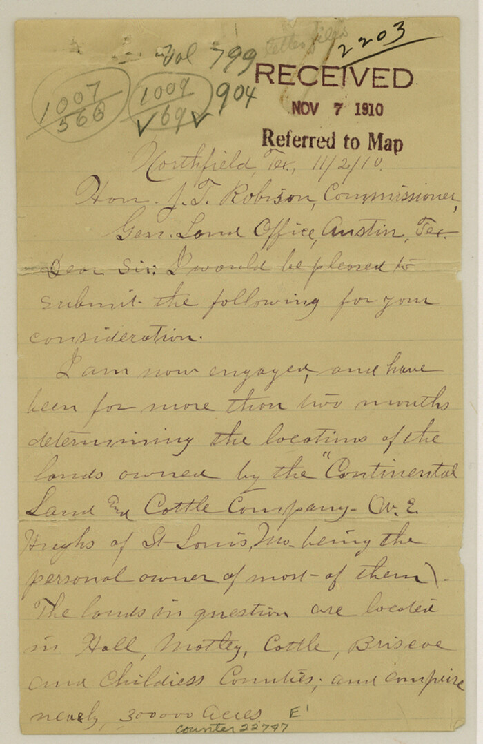
Floyd County Sketch File 17
22747, Floyd County Sketch File 17, General Map Collection
Print $12.00 - Digital $50.00

Floyd County Sketch File 17

1913

Size: 8.3 x 5.4 inches
22747
Childress County Rolled Sketch 18
5451.tif
Print $20.00 - Digital $50.00

Childress County Rolled Sketch 18

1913

Size: 17.6 x 39.0 inches
5451
Childress County Rolled Sketch 18A
5452.tif
Print $20.00 - Digital $50.00

Childress County Rolled Sketch 18A

1913

Size: 18.5 x 39.8 inches
5452
Hall County Sketch File 29 and 29a
24824, Hall County Sketch File 29 and 29a, General Map Collection
Print $12.00 - Digital $50.00

Hall County Sketch File 29 and 29a

1913

Size: 8.9 x 7.9 inches
24824
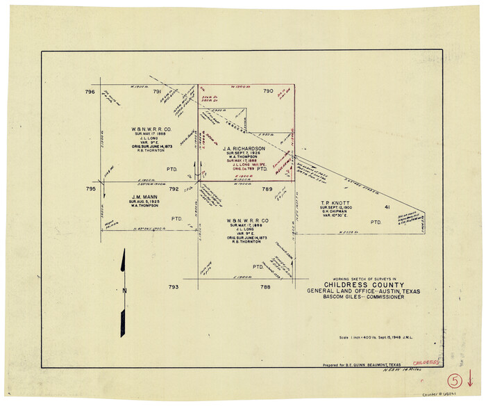
Childress County Rolled Sketch 5
5439.tif
Print $20.00 - Digital $50.00

Childress County Rolled Sketch 5

1913

Size: 31.2 x 24.7 inches
5439
Floyd County Sketch File 25
22782, Floyd County Sketch File 25, General Map Collection
Print $14.00 - Digital $50.00

Floyd County Sketch File 25

1912

Size: 11.5 x 9.0 inches
22782
Childress County Rolled Sketch 13
5450.tif
Print $20.00 - Digital $50.00

Childress County Rolled Sketch 13

1910

Size: 8.9 x 30.0 inches
5450
Cottle County Sketch File 18
82433, Cottle County Sketch File 18, General Map Collection
Print $46.00 - Digital $50.00

Cottle County Sketch File 18

2004

  • Size

    8.0 x 11.0 inches

  • Map/Doc

    82433

  • Creation Date

    2004

Cottle County Rolled Sketch 15
82849, Cottle County Rolled Sketch 15, General Map Collection
Print $20.00 - Digital $50.00

Cottle County Rolled Sketch 15

2004

  • Size

    37.2 x 37.2 inches

  • Map/Doc

    82849

  • Creation Date

    2004

Childress County Rolled Sketch 19
81937, Childress County Rolled Sketch 19, General Map Collection
Print $20.00 - Digital $50.00

Childress County Rolled Sketch 19

2004

  • Size

    24.6 x 18.6 inches

  • Map/Doc

    81937

  • Creation Date

    2004

Childress Co.
73105, Childress Co., General Map Collection
Print $20.00 - Digital $50.00

Childress Co.

1978

  • Size

    46.2 x 35.0 inches

  • Map/Doc

    73105

  • Creation Date

    1978

Childress County Working Sketch Graphic Index
76493, Childress County Working Sketch Graphic Index, General Map Collection
Print $20.00 - Digital $50.00

Childress County Working Sketch Graphic Index

1978

  • Size

    45.5 x 34.3 inches

  • Map/Doc

    76493

  • Creation Date

    1978

Childress Co.
77237, Childress Co., General Map Collection
Print $20.00 - Digital $50.00

Childress Co.

1978

  • Size

    44.6 x 33.7 inches

  • Map/Doc

    77237

  • Creation Date

    1978

Childress Co.
95454, Childress Co., General Map Collection
Print $20.00 - Digital $50.00

Childress Co.

1978

  • Size

    47.3 x 36.0 inches

  • Map/Doc

    95454

  • Creation Date

    1978

Cottle County Sketch File H
19451, Cottle County Sketch File H, General Map Collection
Print $12.00 - Digital $50.00

Cottle County Sketch File H

1976

  • Size

    11.2 x 8.7 inches

  • Map/Doc

    19451

  • Creation Date

    1976

Cottle County Rolled Sketch 13
5571, Cottle County Rolled Sketch 13, General Map Collection
Print $20.00 - Digital $50.00

Cottle County Rolled Sketch 13

1976

  • Size

    21.6 x 35.5 inches

  • Map/Doc

    5571

  • Creation Date

    1976

Cottle County Working Sketch 14B
61795, Cottle County Working Sketch 14B, General Map Collection
Print $20.00 - Digital $50.00

Cottle County Working Sketch 14B

1963

  • Size

    35.2 x 41.6 inches

  • Map/Doc

    61795

  • Creation Date

    1963

General Highway Map, Childress County, Texas
79408, General Highway Map, Childress County, Texas, Texas State Library and Archives
Print $20.00

General Highway Map, Childress County, Texas

1961

  • Size

    18.2 x 24.8 inches

  • Map/Doc

    79408

  • Creation Date

    1961

Childress County Rolled Sketch 9D
78221, Childress County Rolled Sketch 9D, General Map Collection
Print $3.00 - Digital $50.00

Childress County Rolled Sketch 9D

1945

  • Size

    16.0 x 10.0 inches

  • Map/Doc

    78221

  • Creation Date

    1945

Childress County Rolled Sketch 10
8601, Childress County Rolled Sketch 10, General Map Collection
Print $20.00 - Digital $50.00

Childress County Rolled Sketch 10

1940

  • Size

    43.6 x 12.0 inches

  • Map/Doc

    8601

  • Creation Date

    1940

Childress County Rolled Sketch 11
8602, Childress County Rolled Sketch 11, General Map Collection
Print $20.00 - Digital $50.00

Childress County Rolled Sketch 11

1940

  • Size

    45.3 x 12.0 inches

  • Map/Doc

    8602

  • Creation Date

    1940

Childress County Rolled Sketch 12
8603, Childress County Rolled Sketch 12, General Map Collection
Print $20.00 - Digital $50.00

Childress County Rolled Sketch 12

1940

  • Size

    44.2 x 11.3 inches

  • Map/Doc

    8603

  • Creation Date

    1940

General Highway Map, Childress County, Texas
79046, General Highway Map, Childress County, Texas, Texas State Library and Archives
Print $20.00

General Highway Map, Childress County, Texas

1940

  • Size

    18.3 x 25.2 inches

  • Map/Doc

    79046

  • Creation Date

    1940

Cottle County Sketch File F
19444, Cottle County Sketch File F, General Map Collection
Print $6.00 - Digital $50.00

Cottle County Sketch File F

1935

  • Size

    11.5 x 8.8 inches

  • Map/Doc

    19444

  • Creation Date

    1935

Childress County Sketch File 18a
18364, Childress County Sketch File 18a, General Map Collection
Print $4.00 - Digital $50.00

Childress County Sketch File 18a

1935
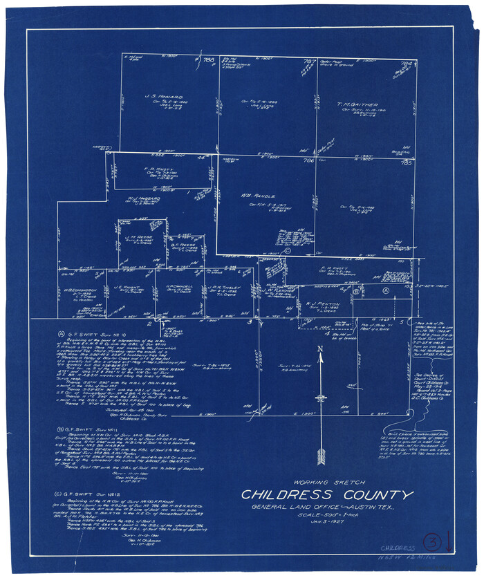
  • Size

    11.3 x 7.1 inches

  • Map/Doc

    18364

  • Creation Date

    1935

Childress County
1800, Childress County, General Map Collection
Print $20.00 - Digital $50.00

Childress County

1921

  • Size

    43.4 x 32.3 inches

  • Map/Doc

    1800

  • Creation Date

    1921

Childress County
4746, Childress County, General Map Collection
Print $20.00 - Digital $50.00

Childress County

1921

  • Size

    44.1 x 32.2 inches

  • Map/Doc

    4746

  • Creation Date

    1921

Childress County
66753, Childress County, General Map Collection
Print $20.00 - Digital $50.00

Childress County

1921

  • Size

    43.8 x 32.6 inches

  • Map/Doc

    66753

  • Creation Date

    1921

Childress County Sketch File 22
18366, Childress County Sketch File 22, General Map Collection
Print $32.00 - Digital $50.00

Childress County Sketch File 22

1919

  • Size

    14.3 x 8.7 inches

  • Map/Doc

    18366

  • Creation Date

    1919

Childress County Sketch File 24
18384, Childress County Sketch File 24, General Map Collection
Print $4.00 - Digital $50.00

Childress County Sketch File 24

1917

  • Size

    12.9 x 8.6 inches

  • Map/Doc

    18384

  • Creation Date

    1917

Floyd County Sketch File 17
22747, Floyd County Sketch File 17, General Map Collection
Print $12.00 - Digital $50.00

Floyd County Sketch File 17

1913

  • Size

    8.3 x 5.4 inches

  • Map/Doc

    22747

  • Creation Date

    1913

Childress County Rolled Sketch 18
5451, Childress County Rolled Sketch 18, General Map Collection
Print $20.00 - Digital $50.00

Childress County Rolled Sketch 18

1913

  • Size

    17.6 x 39.0 inches

  • Map/Doc

    5451

  • Creation Date

    1913

Childress County Rolled Sketch 18A
5452, Childress County Rolled Sketch 18A, General Map Collection
Print $20.00 - Digital $50.00

Childress County Rolled Sketch 18A

1913

  • Size

    18.5 x 39.8 inches

  • Map/Doc

    5452

  • Creation Date

    1913

Hall County Sketch File 29 and 29a
24824, Hall County Sketch File 29 and 29a, General Map Collection
Print $12.00 - Digital $50.00

Hall County Sketch File 29 and 29a

1913

  • Size

    8.9 x 7.9 inches

  • Map/Doc

    24824

  • Creation Date

    1913

Childress County Rolled Sketch 5
5439, Childress County Rolled Sketch 5, General Map Collection
Print $20.00 - Digital $50.00

Childress County Rolled Sketch 5

1913

  • Size

    31.2 x 24.7 inches

  • Map/Doc

    5439

  • Creation Date

    1913

Floyd County Sketch File 25
22782, Floyd County Sketch File 25, General Map Collection
Print $14.00 - Digital $50.00

Floyd County Sketch File 25

1912

  • Size

    11.5 x 9.0 inches

  • Map/Doc

    22782

  • Creation Date

    1912

Childress County Rolled Sketch 13
5450, Childress County Rolled Sketch 13, General Map Collection
Print $20.00 - Digital $50.00

Childress County Rolled Sketch 13

1910

  • Size

    8.9 x 30.0 inches

  • Map/Doc

    5450

  • Creation Date

    1910