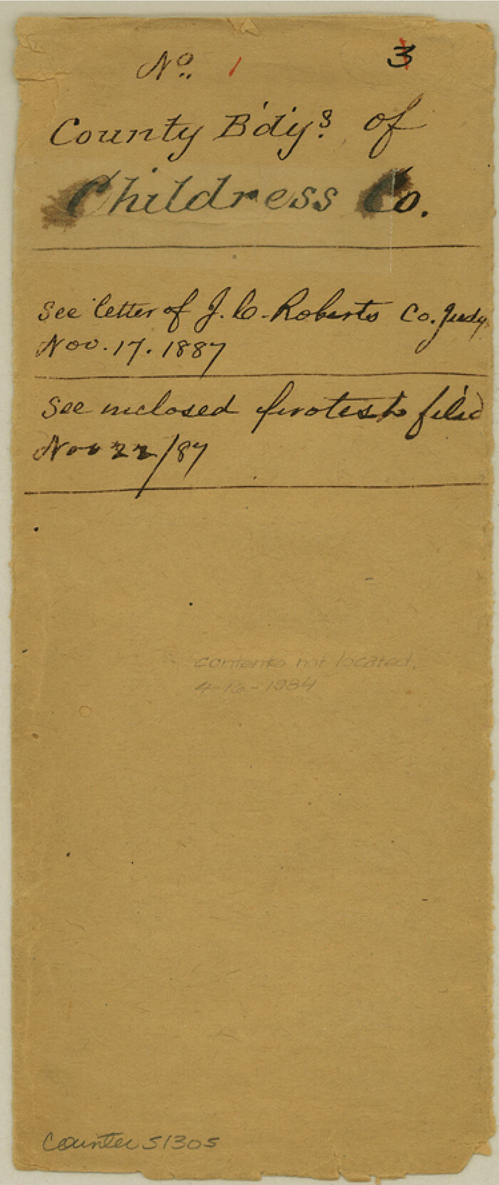
Childress County Boundary File 1
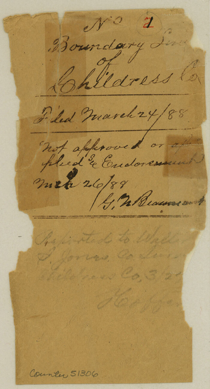
Childress County Boundary File 2

Childress County Boundary File 3
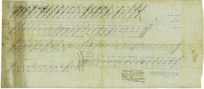
Childress County Boundary File 3a
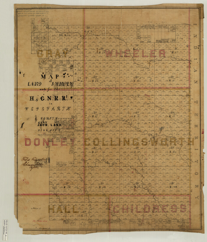
Childress County Rolled Sketch 1

Childress County Rolled Sketch 10
1940

Childress County Rolled Sketch 11
1940

Childress County Rolled Sketch 12
1940

Childress County Rolled Sketch 13
1910
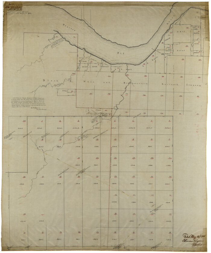
Childress County Rolled Sketch 16A

Childress County Rolled Sketch 16B

Childress County Rolled Sketch 18
1913
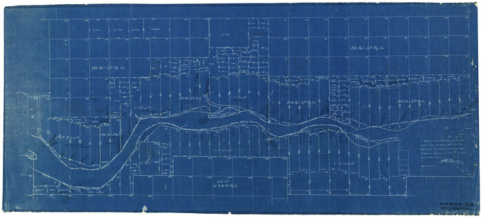
Childress County Rolled Sketch 18A
1913

Childress County Rolled Sketch 19
2004
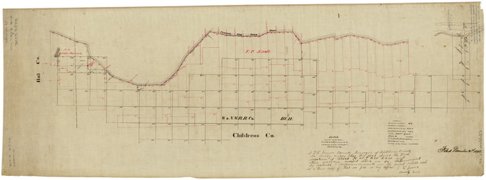
Childress County Rolled Sketch 3

Childress County Rolled Sketch 4
1891

Childress County Rolled Sketch 5
1913

Childress Co.
1892
-
Size
43.2 x 35.1 inches
-
Map/Doc
4909
-
Creation Date
1892

Childress Co.
1892
-
Size
40.3 x 33.7 inches
-
Map/Doc
66752
-
Creation Date
1892
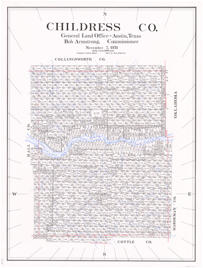
Childress Co.
1978
-
Size
46.2 x 35.0 inches
-
Map/Doc
73105
-
Creation Date
1978

Childress Co.
1978
-
Size
44.6 x 33.7 inches
-
Map/Doc
77237
-
Creation Date
1978

Childress Co.
1978
-
Size
47.3 x 36.0 inches
-
Map/Doc
95454
-
Creation Date
1978
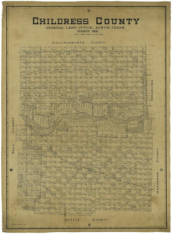
Childress County
1921
-
Size
43.4 x 32.3 inches
-
Map/Doc
1800
-
Creation Date
1921

Childress County
1892
-
Size
24.7 x 19.6 inches
-
Map/Doc
3391
-
Creation Date
1892
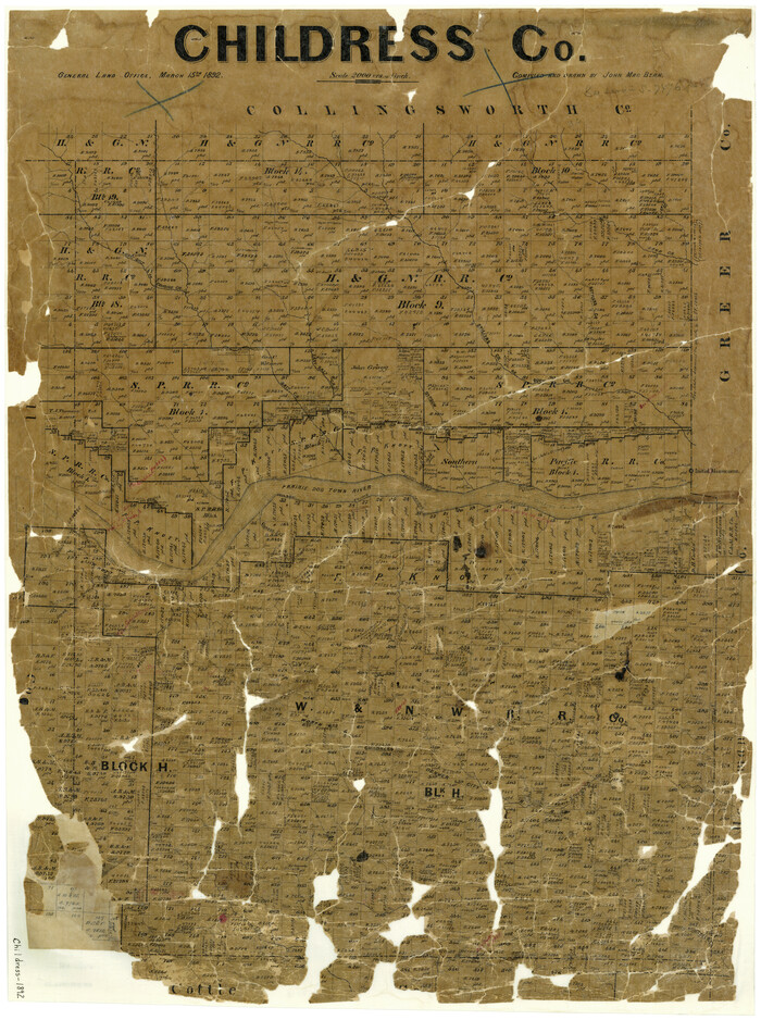
Childress County
1892
-
Size
36.2 x 27.1 inches
-
Map/Doc
3392
-
Creation Date
1892

Childress County
1883
-
Size
20.6 x 17.4 inches
-
Map/Doc
3393
-
Creation Date
1883
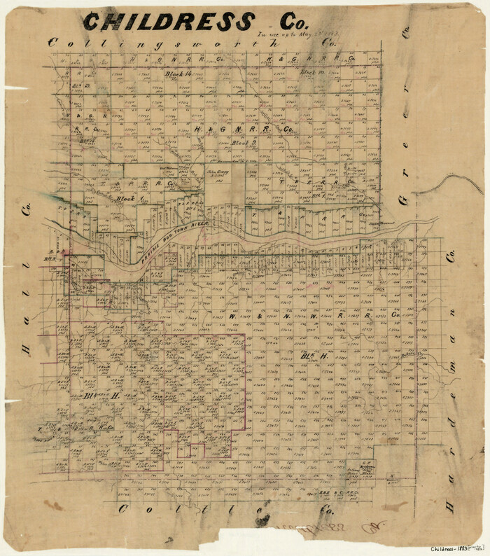
Childress County
1883
-
Size
20.8 x 19.0 inches
-
Map/Doc
3394
-
Creation Date
1883
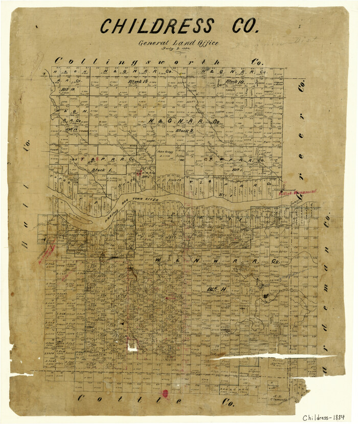
Childress County
1884
-
Size
20.6 x 17.4 inches
-
Map/Doc
3395
-
Creation Date
1884
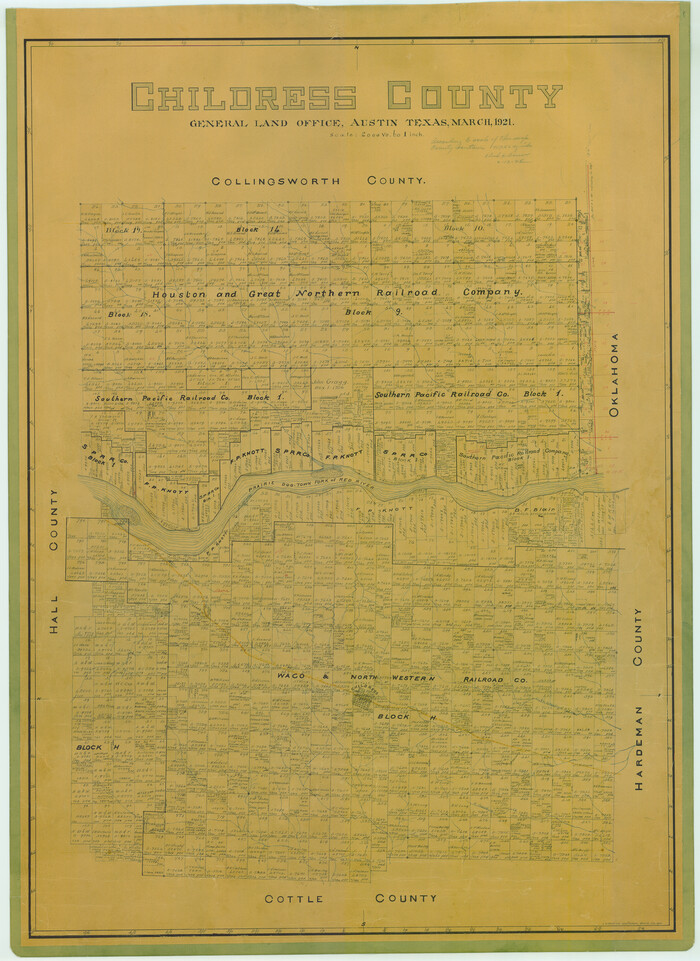
Childress County
1921
-
Size
44.1 x 32.2 inches
-
Map/Doc
4746
-
Creation Date
1921
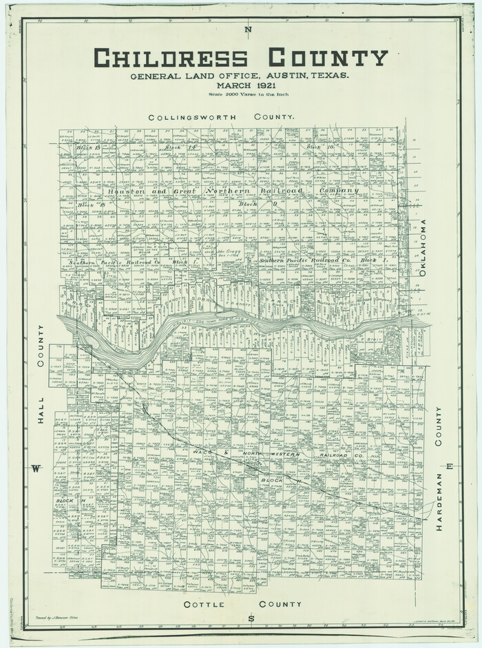
Childress County
1921
-
Size
43.8 x 32.6 inches
-
Map/Doc
66753
-
Creation Date
1921

Childress County Boundary File 1
-
Size
8.9 x 3.8 inches
-
Map/Doc
51305

Childress County Boundary File 2
-
Size
7.3 x 3.9 inches
-
Map/Doc
51306

Childress County Boundary File 3
-
Size
9.4 x 4.5 inches
-
Map/Doc
51330

Childress County Boundary File 3a
-
Size
30.7 x 70.1 inches
-
Map/Doc
51354

Childress County Rolled Sketch 1
-
Size
31.2 x 26.5 inches
-
Map/Doc
5437

Childress County Rolled Sketch 10
1940
-
Size
43.6 x 12.0 inches
-
Map/Doc
8601
-
Creation Date
1940

Childress County Rolled Sketch 11
1940
-
Size
45.3 x 12.0 inches
-
Map/Doc
8602
-
Creation Date
1940

Childress County Rolled Sketch 12
1940
-
Size
44.2 x 11.3 inches
-
Map/Doc
8603
-
Creation Date
1940

Childress County Rolled Sketch 13
1910
-
Size
8.9 x 30.0 inches
-
Map/Doc
5450
-
Creation Date
1910

Childress County Rolled Sketch 16A
-
Size
44.3 x 36.9 inches
-
Map/Doc
8599

Childress County Rolled Sketch 16B
-
Size
26.3 x 78.1 inches
-
Map/Doc
8600

Childress County Rolled Sketch 18
1913
-
Size
17.6 x 39.0 inches
-
Map/Doc
5451
-
Creation Date
1913

Childress County Rolled Sketch 18A
1913
-
Size
18.5 x 39.8 inches
-
Map/Doc
5452
-
Creation Date
1913

Childress County Rolled Sketch 19
2004
-
Size
24.6 x 18.6 inches
-
Map/Doc
81937
-
Creation Date
2004

Childress County Rolled Sketch 3
-
Size
21.1 x 57.0 inches
-
Map/Doc
8598

Childress County Rolled Sketch 4
1891
-
Size
18.8 x 42.2 inches
-
Map/Doc
5438
-
Creation Date
1891

Childress County Rolled Sketch 5
1913
-
Size
31.2 x 24.7 inches
-
Map/Doc
5439
-
Creation Date
1913