
Menard County Rolled Sketch 18
2024

Menard County Working Sketch 34
2003
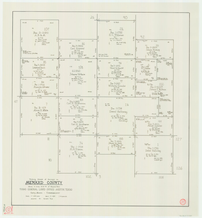
Menard County Working Sketch 33
1989
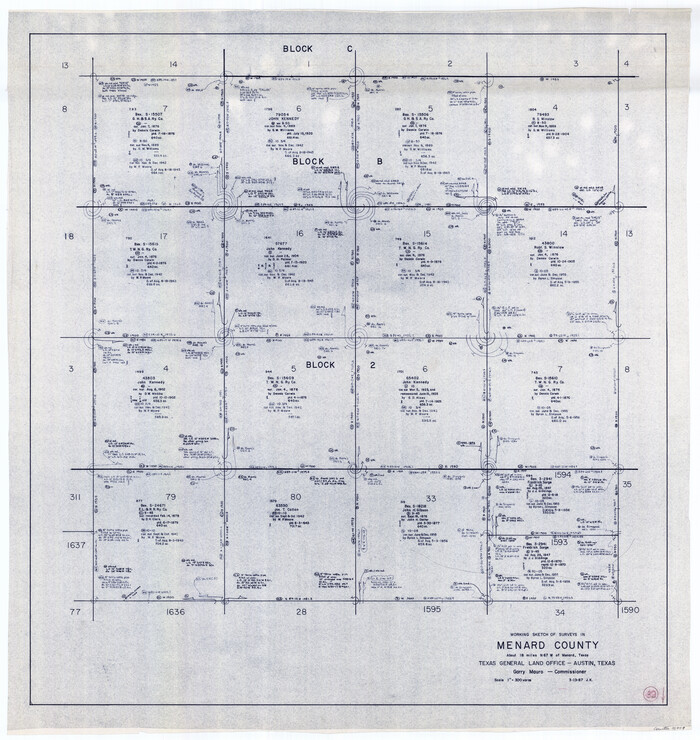
Menard County Working Sketch 32
1987

Menard County Rolled Sketch 16
1983

Menard County Rolled Sketch 15
1983
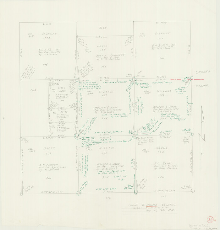
Menard County Working Sketch 31
1980

Menard County Sketch File 31
1978

Menard County Sketch File 30
1977

Menard County Working Sketch 30
1974
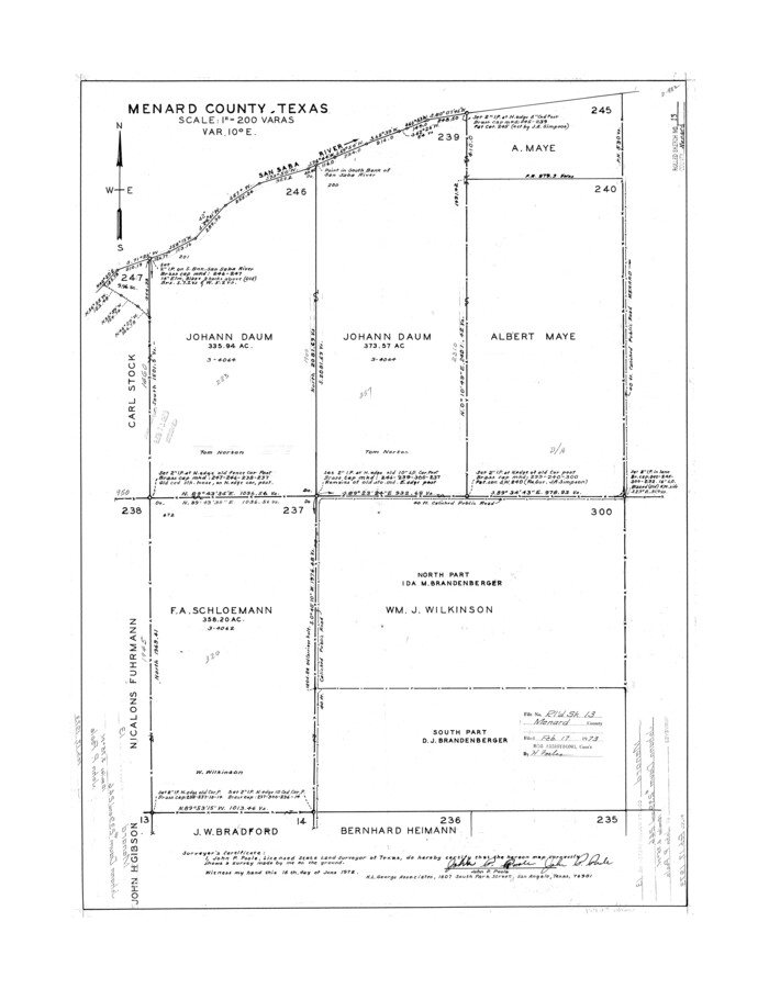
Menard County Rolled Sketch 13
1972

Concho County Rolled Sketch 20
1968
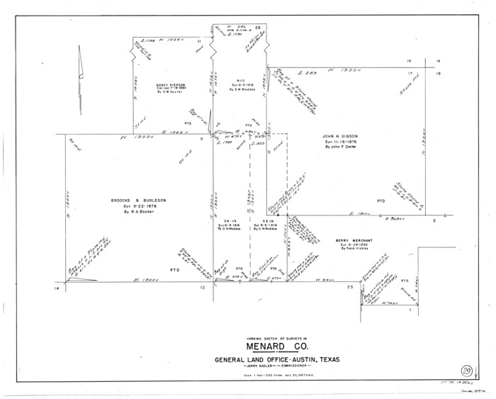
Menard County Working Sketch 29
1967
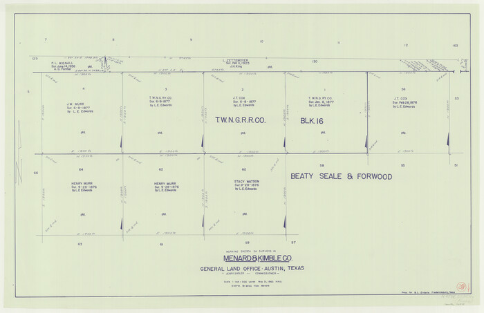
Menard County Working Sketch 28
1963
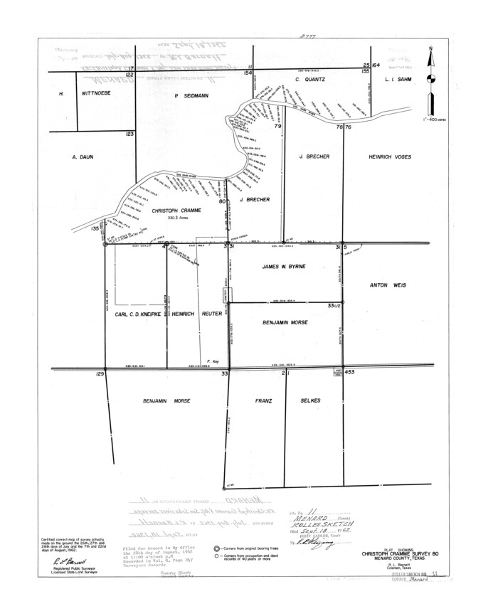
Menard County Rolled Sketch 11
1962
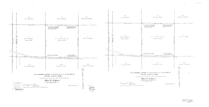
Menard County Sketch File 29
1962
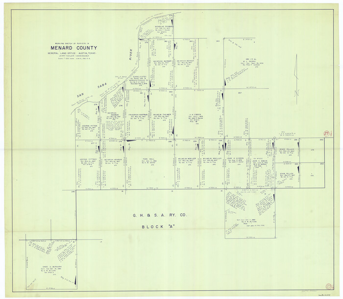
Menard County Working Sketch 27
1962

Menard County Working Sketch 26
1961

General Highway Map, Menard County, Texas
1961
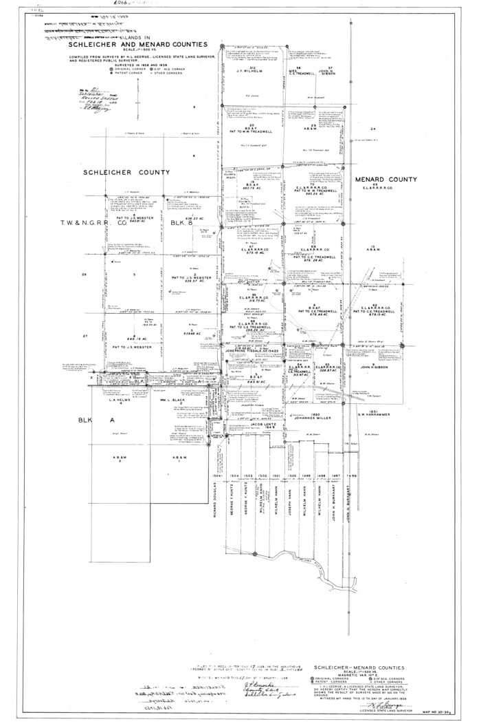
Schleicher County Rolled Sketch 21
1959

Mason County Sketch File 24
1959
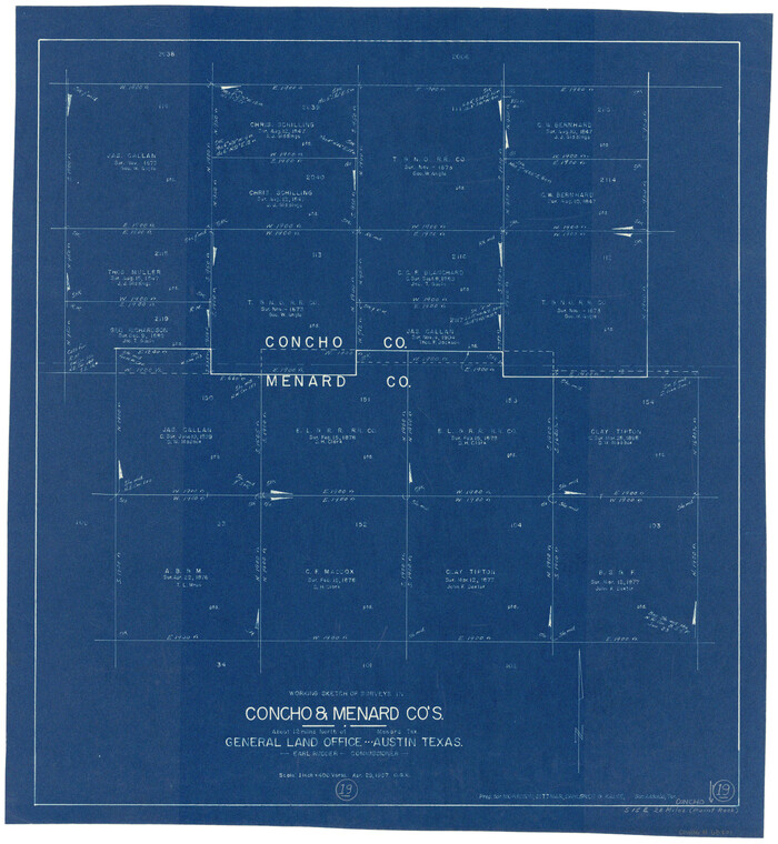
Concho County Working Sketch 19
1957
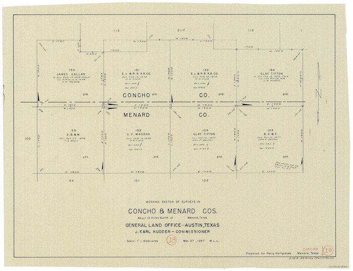
Concho County Working Sketch 18
1957

Menard County Rolled Sketch 10
1955
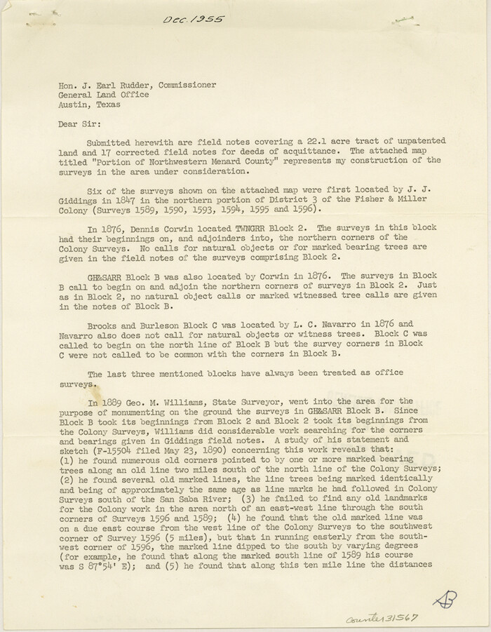
Menard County Sketch File 28
1955

Kimble County Working Sketch 53
1953
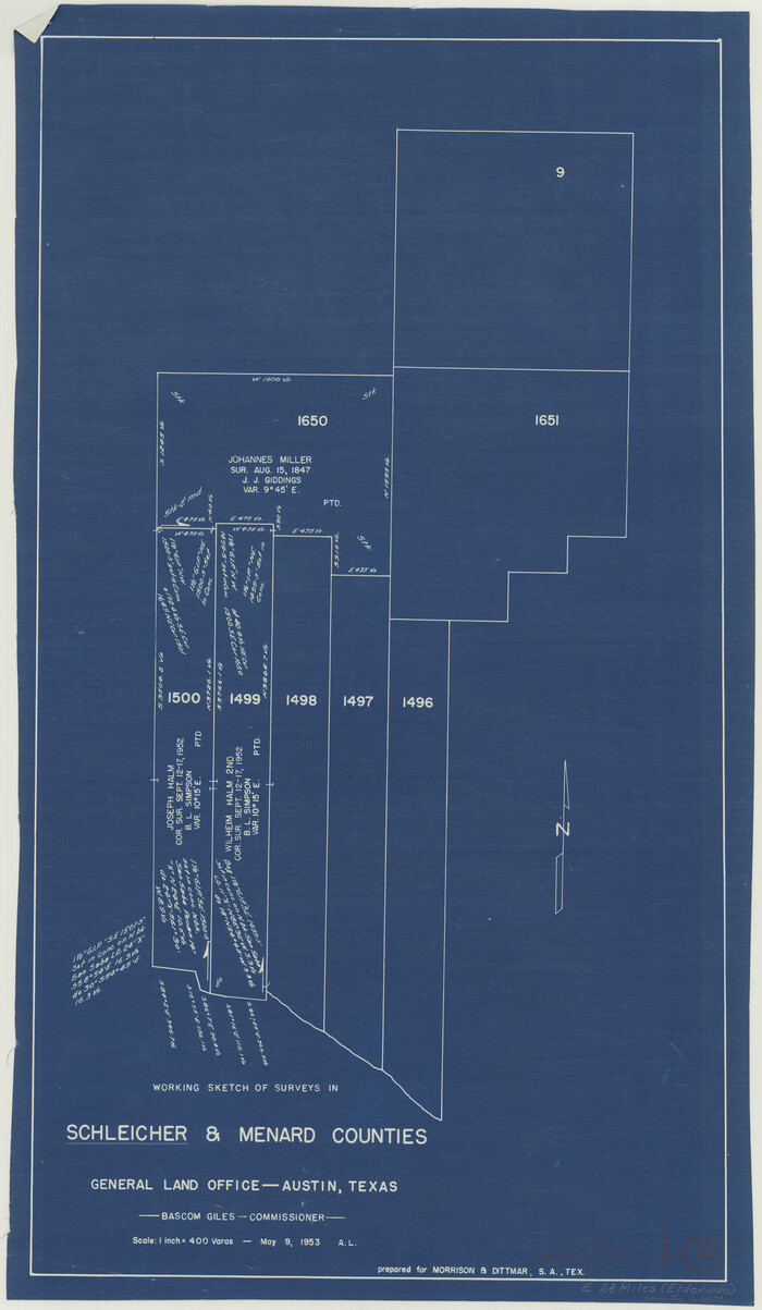
Schleicher County Working Sketch 22
1953

Schleicher County Working Sketch 21
1953

Menard County Working Sketch 25
1952
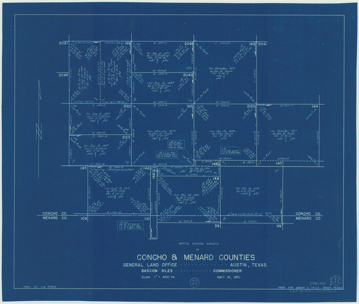
Concho County Working Sketch 12
1951

Menard County Rolled Sketch 18
2024
-
Size
35.9 x 47.7 inches
-
Map/Doc
97427
-
Creation Date
2024

Menard County Working Sketch 34
2003
-
Size
27.1 x 44.4 inches
-
Map/Doc
82028
-
Creation Date
2003

Menard County Working Sketch 33
1989
-
Size
27.2 x 25.2 inches
-
Map/Doc
70980
-
Creation Date
1989

Menard County Working Sketch 32
1987
-
Size
35.8 x 33.8 inches
-
Map/Doc
70979
-
Creation Date
1987

Menard County Rolled Sketch 16
1983
-
Size
29.8 x 36.6 inches
-
Map/Doc
6762
-
Creation Date
1983

Menard County Rolled Sketch 15
1983
-
Size
27.9 x 22.0 inches
-
Map/Doc
6761
-
Creation Date
1983

Menard County Working Sketch 31
1980
-
Size
25.6 x 24.5 inches
-
Map/Doc
70978
-
Creation Date
1980

Menard County Sketch File 31
1978
-
Size
14.2 x 8.7 inches
-
Map/Doc
31573
-
Creation Date
1978

Menard County Sketch File 30
1977
-
Size
14.3 x 8.6 inches
-
Map/Doc
31571
-
Creation Date
1977

Menard County Working Sketch 30
1974
-
Size
47.9 x 38.8 inches
-
Map/Doc
70977
-
Creation Date
1974

Menard County Rolled Sketch 13
1972
-
Size
30.8 x 24.0 inches
-
Map/Doc
6759
-
Creation Date
1972

Concho County Rolled Sketch 20
1968
-
Size
26.2 x 38.8 inches
-
Map/Doc
5554
-
Creation Date
1968

Menard County Working Sketch 29
1967
-
Size
25.8 x 32.0 inches
-
Map/Doc
70976
-
Creation Date
1967

Menard County Working Sketch 28
1963
-
Size
24.3 x 37.7 inches
-
Map/Doc
70975
-
Creation Date
1963

Menard County Rolled Sketch 11
1962
-
Size
24.8 x 20.1 inches
-
Map/Doc
6757
-
Creation Date
1962

Menard County Sketch File 29
1962
-
Size
21.0 x 41.1 inches
-
Map/Doc
10543
-
Creation Date
1962

Menard County Working Sketch 27
1962
-
Size
38.2 x 43.8 inches
-
Map/Doc
70974
-
Creation Date
1962

Menard County Working Sketch 26
1961
-
Size
28.6 x 36.1 inches
-
Map/Doc
70973
-
Creation Date
1961

General Highway Map, Menard County, Texas
1961
-
Size
18.2 x 24.8 inches
-
Map/Doc
79595
-
Creation Date
1961

Schleicher County Rolled Sketch 21
1959
-
Size
47.4 x 31.5 inches
-
Map/Doc
9907
-
Creation Date
1959

Mason County Sketch File 24
1959
-
Size
15.0 x 15.2 inches
-
Map/Doc
30726
-
Creation Date
1959

Concho County Working Sketch 19
1957
-
Size
27.3 x 24.9 inches
-
Map/Doc
68201
-
Creation Date
1957

Concho County Working Sketch 18
1957
-
Size
19.2 x 25.2 inches
-
Map/Doc
68200
-
Creation Date
1957

Menard County Rolled Sketch 10
1955
-
Size
46.7 x 37.7 inches
-
Map/Doc
9511
-
Creation Date
1955

Menard County Sketch File 28
1955
-
Size
11.0 x 8.6 inches
-
Map/Doc
31567
-
Creation Date
1955

Kimble County Working Sketch 53
1953
-
Size
24.5 x 35.9 inches
-
Map/Doc
70121
-
Creation Date
1953

Schleicher County Working Sketch 22
1953
-
Size
26.2 x 15.3 inches
-
Map/Doc
63824
-
Creation Date
1953

Schleicher County Working Sketch 21
1953
-
Size
26.6 x 10.8 inches
-
Map/Doc
63823
-
Creation Date
1953

Menard County Working Sketch 25
1952
-
Size
32.2 x 42.8 inches
-
Map/Doc
70972
-
Creation Date
1952

Concho County Working Sketch 12
1951
-
Size
23.0 x 27.2 inches
-
Map/Doc
68194
-
Creation Date
1951