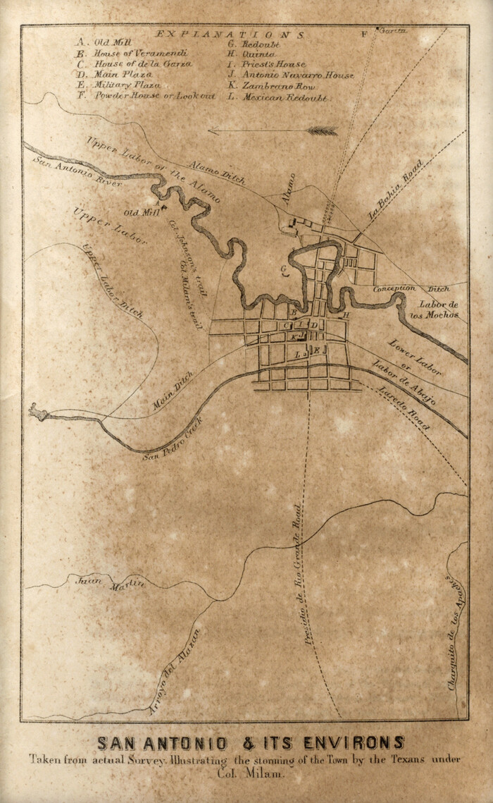
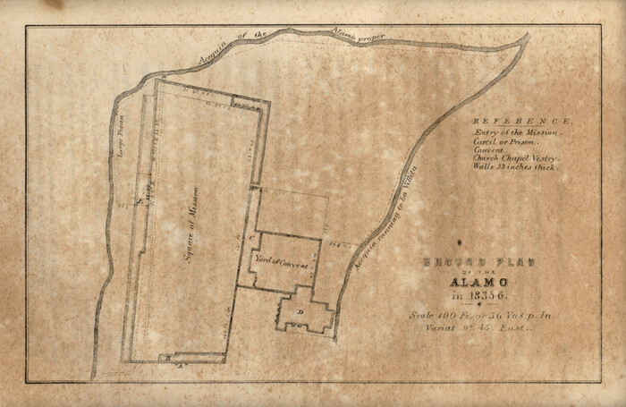
History of Texas from its First Settlement in 1685 to its Annexation to the United States in 1846 (Vol. 2)
-
Map/Doc
97391
-
Collection
General Map Collection
-
Object Dates
1856 (Creation Date)
-
People and Organizations
H. Yoakum (Author)
-
Subjects
Bound Volume Spanish Texas Mexican Texas State of Texas
-
Comments
Volume 2 of 2. See 97390 for Volume 1.
Related maps
History of Texas from its First Settlement in 1685 to its Annexation to the United States in 1846 (Vol. 1)


History of Texas from its First Settlement in 1685 to its Annexation to the United States in 1846 (Vol. 1)
1856
Map/Doc 97390
Part of: General Map Collection
Upton County Working Sketch 25

Print $20.00
- Digital $50.00
Upton County Working Sketch 25
Size 38.2 x 31.2 inches
Map/Doc 69521
Morris County Rolled Sketch 2A

Print $20.00
- Digital $50.00
Morris County Rolled Sketch 2A
Size 36.5 x 20.0 inches
Map/Doc 10269
Atkinson's Casket Gems of Literature, Wit and Sentiment


Atkinson's Casket Gems of Literature, Wit and Sentiment
Size 9.2 x 6.1 inches
Map/Doc 95957
Liberty County Sketch File 63


Print $138.00
- Digital $50.00
Liberty County Sketch File 63
1983
Size 11.1 x 8.8 inches
Map/Doc 30087
Flight Mission No. DQN-2K, Frame 146, Calhoun County


Print $20.00
- Digital $50.00
Flight Mission No. DQN-2K, Frame 146, Calhoun County
1953
Size 18.9 x 22.5 inches
Map/Doc 84315
[Surveys in the Jasper District]
![69734, [Surveys in the Jasper District], General Map Collection](https://historictexasmaps.com/wmedia_w700/maps/69734.tif.jpg)
![69734, [Surveys in the Jasper District], General Map Collection](https://historictexasmaps.com/wmedia_w700/maps/69734.tif.jpg)
Print $2.00
- Digital $50.00
[Surveys in the Jasper District]
1847
Size 9.4 x 6.9 inches
Map/Doc 69734
Harris County Historic Topographic 14


Print $20.00
- Digital $50.00
Harris County Historic Topographic 14
1916
Size 29.1 x 22.6 inches
Map/Doc 65824
Lipscomb County Sketch File 3


Print $20.00
- Digital $50.00
Lipscomb County Sketch File 3
Size 36.5 x 8.4 inches
Map/Doc 10526
Winkler County Rolled Sketch 17


Print $20.00
- Digital $50.00
Winkler County Rolled Sketch 17
1999
Size 38.9 x 54.5 inches
Map/Doc 8277
Hale County Sketch File 23
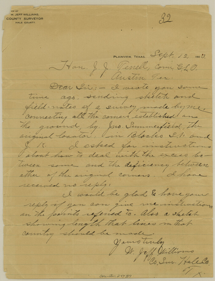

Print $4.00
- Digital $50.00
Hale County Sketch File 23
1903
Size 11.2 x 8.5 inches
Map/Doc 24759
Mitchell County Working Sketch 9
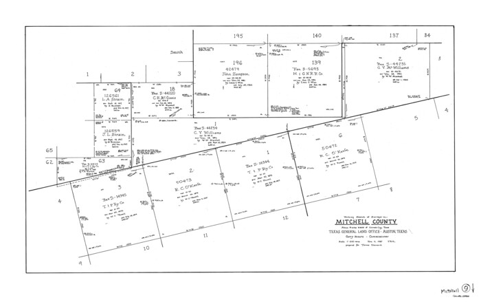

Print $20.00
- Digital $50.00
Mitchell County Working Sketch 9
1987
Size 25.8 x 41.1 inches
Map/Doc 71066
Flight Mission No. CRC-3R, Frame 52, Chambers County


Print $20.00
- Digital $50.00
Flight Mission No. CRC-3R, Frame 52, Chambers County
1956
Size 18.7 x 22.3 inches
Map/Doc 89041
You may also like
This is a true copy of Peck's field book No. 7 pages 22 to 27, except classification of lands


Print $40.00
- Digital $50.00
This is a true copy of Peck's field book No. 7 pages 22 to 27, except classification of lands
Size 5.4 x 54.2 inches
Map/Doc 89726
R. H. Fulton Lands


Print $20.00
- Digital $50.00
R. H. Fulton Lands
Size 39.9 x 14.3 inches
Map/Doc 92509
Eastland County Working Sketch 3


Print $20.00
- Digital $50.00
Eastland County Working Sketch 3
1917
Size 16.5 x 20.2 inches
Map/Doc 68784
Galveston Entrance
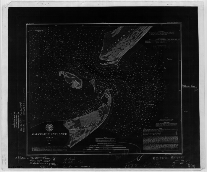

Print $20.00
- Digital $50.00
Galveston Entrance
1867
Size 18.4 x 22.1 inches
Map/Doc 69858
Cecil Stein Drilling Block
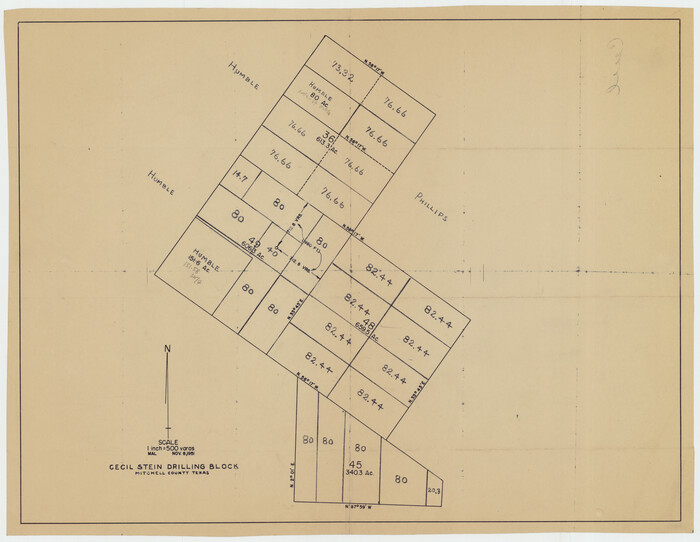

Print $3.00
- Digital $50.00
Cecil Stein Drilling Block
1951
Size 12.3 x 9.5 inches
Map/Doc 92280
Hockley County


Print $20.00
- Digital $50.00
Hockley County
1954
Size 41.0 x 36.4 inches
Map/Doc 77313
Flight Mission No. CRC-4R, Frame 73, Chambers County


Print $20.00
- Digital $50.00
Flight Mission No. CRC-4R, Frame 73, Chambers County
1956
Size 18.7 x 22.5 inches
Map/Doc 84877
Upton County Working Sketch 47


Print $4.00
- Digital $50.00
Upton County Working Sketch 47
Size 24.8 x 26.7 inches
Map/Doc 69543
Hidalgo County Working Sketch 8


Print $40.00
- Digital $50.00
Hidalgo County Working Sketch 8
1963
Size 25.7 x 72.8 inches
Map/Doc 66185
Crockett County Working Sketch 99
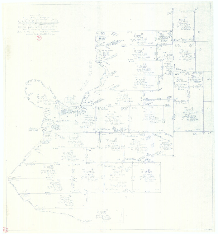

Print $20.00
- Digital $50.00
Crockett County Working Sketch 99
1980
Size 37.1 x 34.5 inches
Map/Doc 68432
Flight Mission No. DQN-1K, Frame 44, Calhoun County
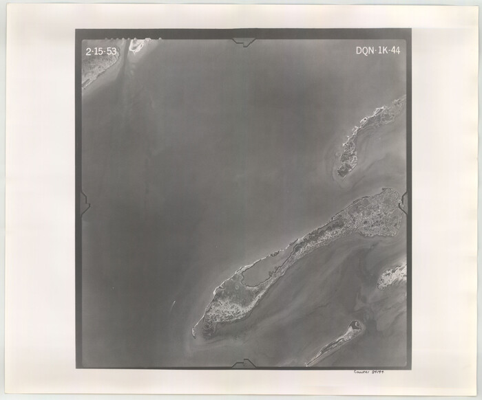

Print $20.00
- Digital $50.00
Flight Mission No. DQN-1K, Frame 44, Calhoun County
1953
Size 18.6 x 22.3 inches
Map/Doc 84144
Angelina County Working Sketch 38


Print $20.00
- Digital $50.00
Angelina County Working Sketch 38
1958
Size 26.4 x 33.0 inches
Map/Doc 67121

