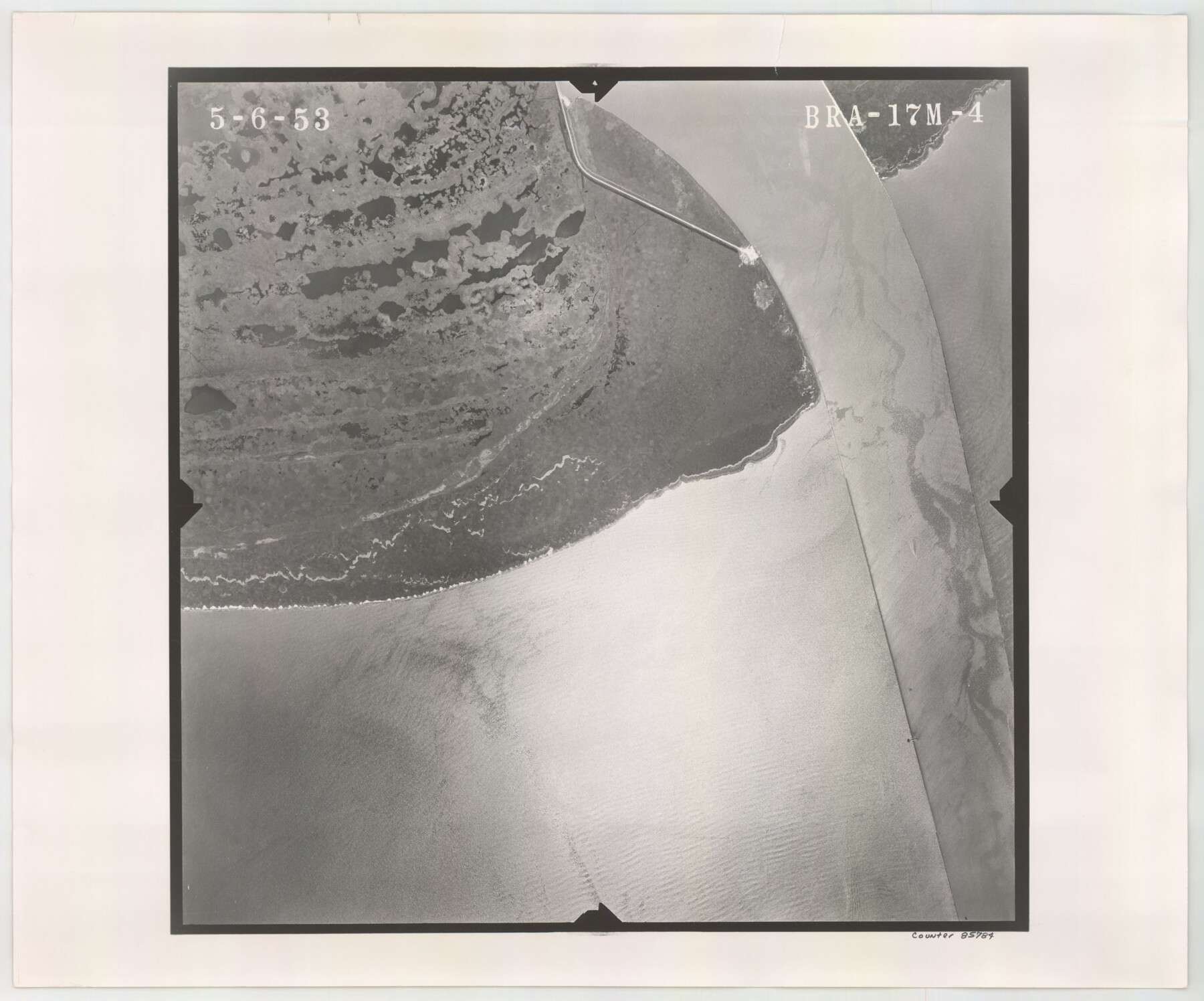
Flight Mission No. BRA-17M, Frame 4, Jefferson County
BRA-17M-4
-
Map/Doc
85784
-
Collection
General Map Collection
-
Object Dates
1953/5/6 (Creation Date)
-
People and Organizations
U. S. Department of Agriculture (Publisher)
-
Counties
Jefferson
-
Subjects
Aerial Photograph
-
Height x Width
18.6 x 22.4 inches
47.2 x 56.9 cm
-
Comments
Flown by Jack Ammann Photogrammetric Engineers of San Antonio, Texas.
Part of: General Map Collection
Milam County Rolled Sketch 3A

Print $40.00
- Digital $50.00
Milam County Rolled Sketch 3A
1967
Size 49.5 x 43.3 inches
Map/Doc 9522
Montgomery County Sketch File 18

Print $20.00
- Digital $50.00
Montgomery County Sketch File 18
1899
Size 22.1 x 19.6 inches
Map/Doc 42122
Amistad International Reservoir on Rio Grande 111

Print $20.00
- Digital $50.00
Amistad International Reservoir on Rio Grande 111
1950
Size 28.5 x 41.0 inches
Map/Doc 75542
Lamb County Sketch File 11

Print $6.00
- Digital $50.00
Lamb County Sketch File 11
1913
Size 11.5 x 8.8 inches
Map/Doc 29360
Nueces County Sketch File 36

Print $20.00
- Digital $50.00
Nueces County Sketch File 36
1913
Size 17.0 x 18.4 inches
Map/Doc 42189
Motley County Sketch File 3 (S)

Print $6.00
- Digital $50.00
Motley County Sketch File 3 (S)
Size 9.5 x 13.0 inches
Map/Doc 32141
Lynn County Sketch File 6

Print $20.00
- Digital $50.00
Lynn County Sketch File 6
1928
Size 24.2 x 36.7 inches
Map/Doc 10529
Mason County Working Sketch 8

Print $20.00
- Digital $50.00
Mason County Working Sketch 8
1946
Size 22.9 x 32.3 inches
Map/Doc 70844
Gillespie County Sketch File 13

Print $4.00
- Digital $50.00
Gillespie County Sketch File 13
1878
Size 8.4 x 10.9 inches
Map/Doc 24153
Motley County Sketch File 9 (N)

Print $10.00
- Digital $50.00
Motley County Sketch File 9 (N)
1902
Size 11.1 x 8.6 inches
Map/Doc 32019
Kimble County Working Sketch 50

Print $20.00
- Digital $50.00
Kimble County Working Sketch 50
1952
Size 34.8 x 22.1 inches
Map/Doc 70118
Travis County Sketch File 13

Print $4.00
- Digital $50.00
Travis County Sketch File 13
1858
Size 8.2 x 6.5 inches
Map/Doc 38306
You may also like
Armstrong County Sketch File A-11

Print $40.00
- Digital $50.00
Armstrong County Sketch File A-11
Size 17.0 x 14.8 inches
Map/Doc 10853
Harris County Sketch File B

Print $4.00
- Digital $50.00
Harris County Sketch File B
1860
Size 8.0 x 5.5 inches
Map/Doc 25309
Wharton County Sketch File 1

Print $6.00
- Digital $50.00
Wharton County Sketch File 1
Size 10.6 x 8.7 inches
Map/Doc 39910
Val Verde County Sketch File Z5

Print $20.00
- Digital $50.00
Val Verde County Sketch File Z5
Size 32.3 x 26.1 inches
Map/Doc 12551
Hutchinson County Sketch File 29

Print $20.00
- Digital $50.00
Hutchinson County Sketch File 29
Size 16.7 x 20.8 inches
Map/Doc 11818
General Highway Map, Wichita County, Texas

Print $20.00
General Highway Map, Wichita County, Texas
1940
Size 18.1 x 24.8 inches
Map/Doc 79277
Palo Pinto County Working Sketch 19

Print $40.00
- Digital $50.00
Palo Pinto County Working Sketch 19
1975
Size 34.0 x 55.5 inches
Map/Doc 71402
Trinity County Rolled Sketch 4

Print $20.00
- Digital $50.00
Trinity County Rolled Sketch 4
1948
Size 38.5 x 42.4 inches
Map/Doc 10026
DeWitt County

Print $40.00
- Digital $50.00
DeWitt County
1987
Size 41.4 x 49.9 inches
Map/Doc 77263
La Louisiane, Suivant les Nouvelles Observations de Messrs de l'Academie Royale des Sciences

Print $20.00
La Louisiane, Suivant les Nouvelles Observations de Messrs de l'Academie Royale des Sciences
1735
Size 9.1 x 11.9 inches
Map/Doc 95279
Flight Mission No. DCL-6C, Frame 179, Kenedy County

Print $20.00
- Digital $50.00
Flight Mission No. DCL-6C, Frame 179, Kenedy County
1943
Size 18.6 x 22.4 inches
Map/Doc 85991
Kent County Working Sketch 16

Print $20.00
- Digital $50.00
Kent County Working Sketch 16
1972
Size 32.4 x 31.5 inches
Map/Doc 70023