
Scurry County Rolled Sketch 14
2016
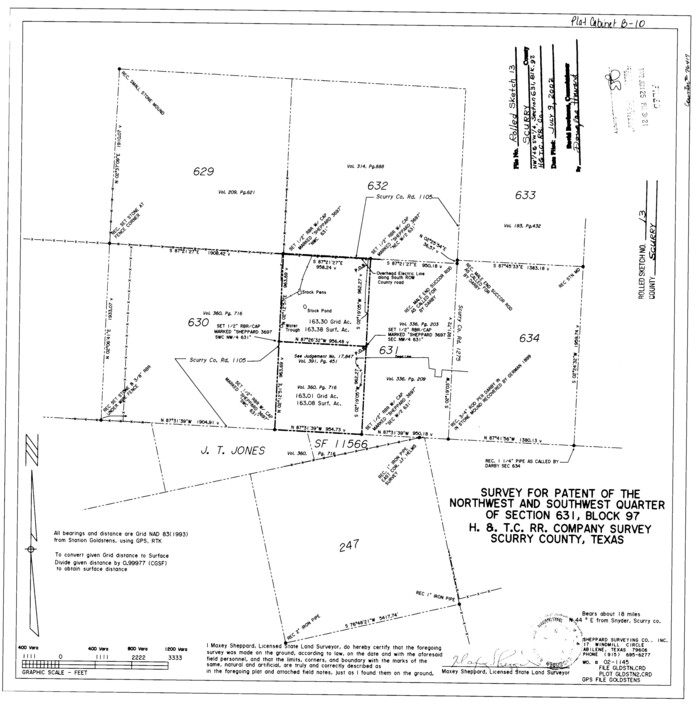
Scurry County Rolled Sketch 13
2002

Scurry County Sketch File 6
2002
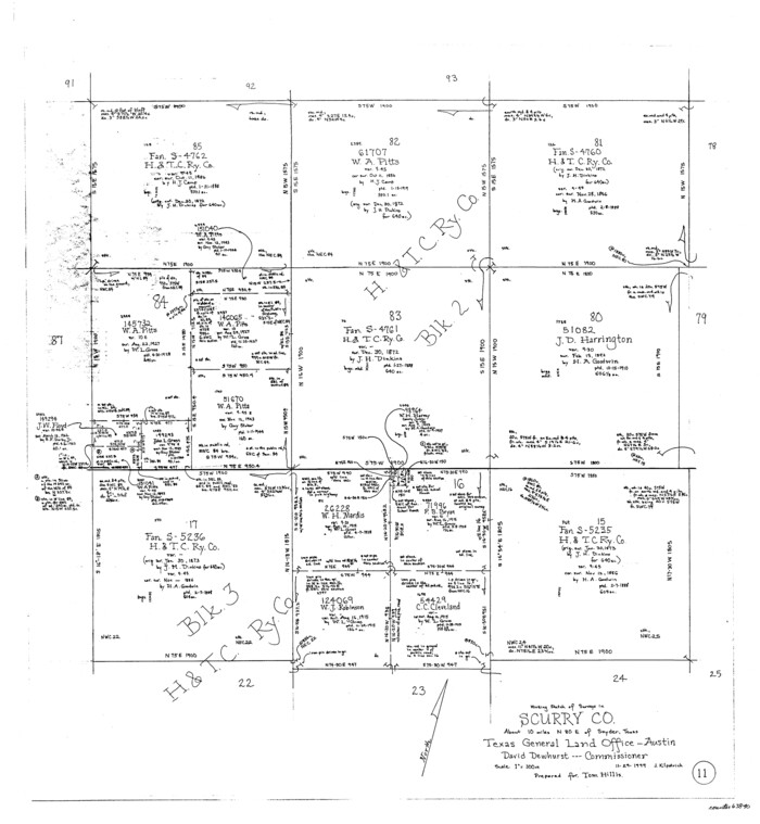
Scurry County Working Sketch 11
1999

Scurry County Working Sketch 10
1990

Scurry County Sketch File 5
1990
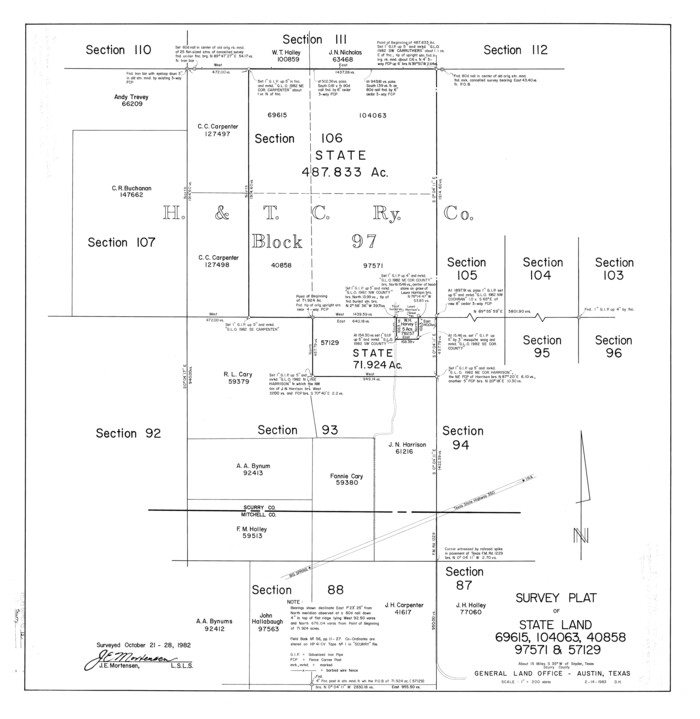
Scurry County Rolled Sketch 12
1983
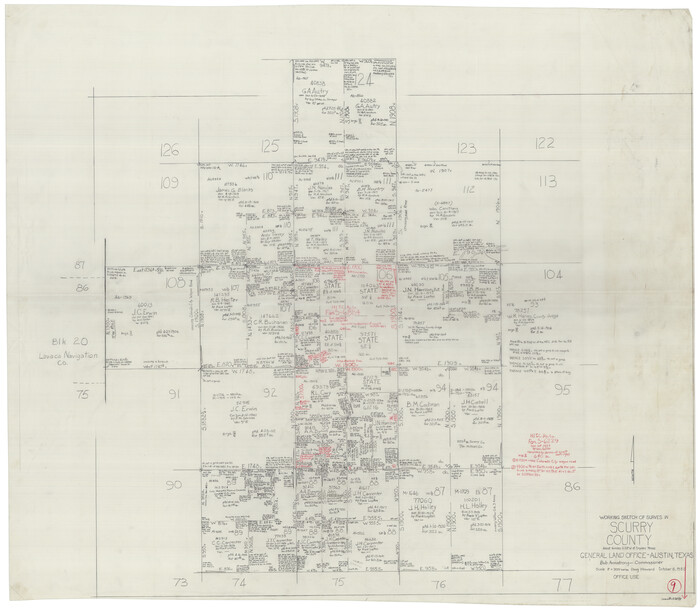
Scurry County Working Sketch 9
1982
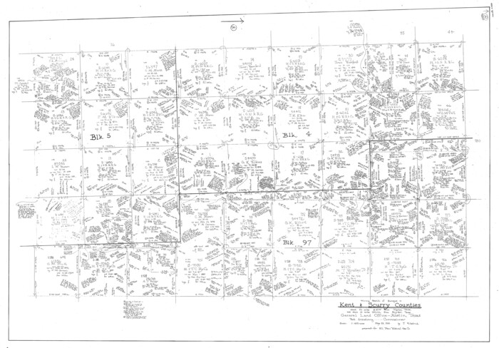
Scurry County Working Sketch 8
1980

Kent County Working Sketch 19
1980

Kent County Working Sketch 18
1974
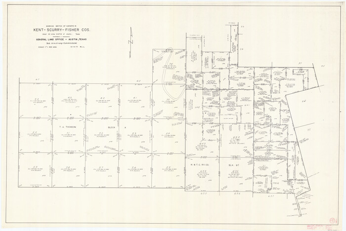
Kent County Working Sketch 15
1971
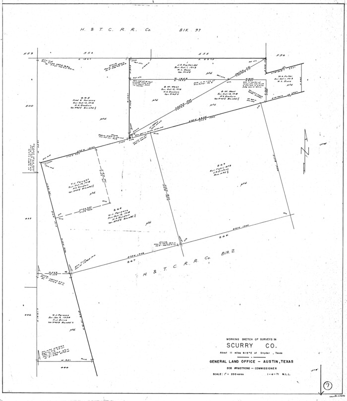
Scurry County Working Sketch 7
1971
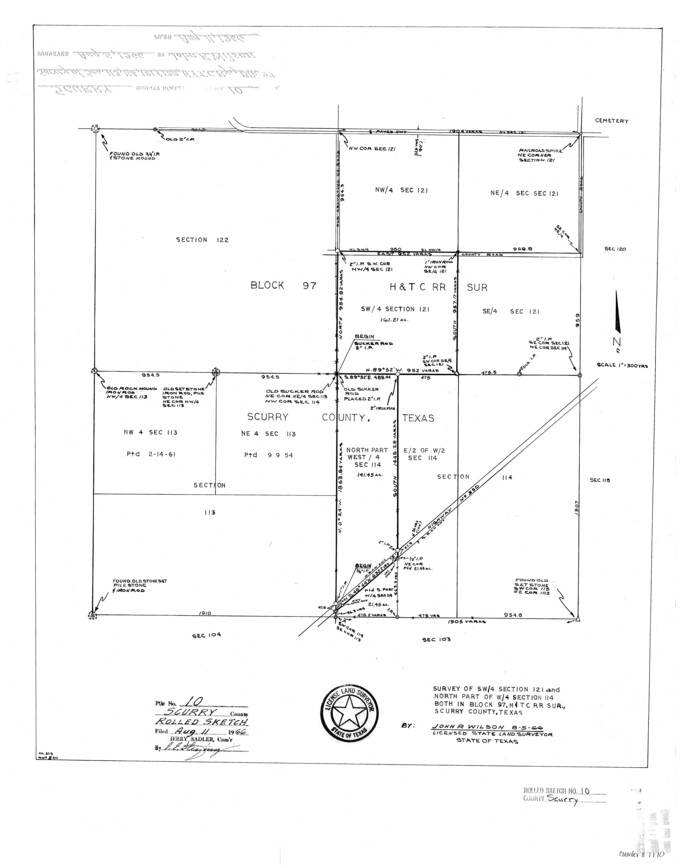
Scurry County Rolled Sketch 10
1966

Scurry County Rolled Sketch 9
1963

Sketch showing county lines of Lynn, Garza, Borden, Scurry
1961

General Highway Map, Scurry County, Texas
1961

Fisher County Working Sketch 14
1957

Borden County Rolled Sketch 8
1951
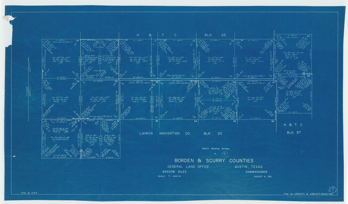
Borden County Working Sketch 9
1951
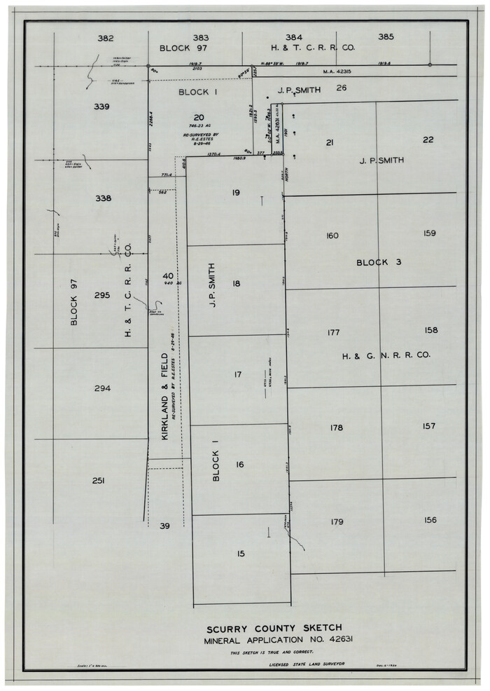
Scurry County Sketch Mineral Application No. 42631
1950
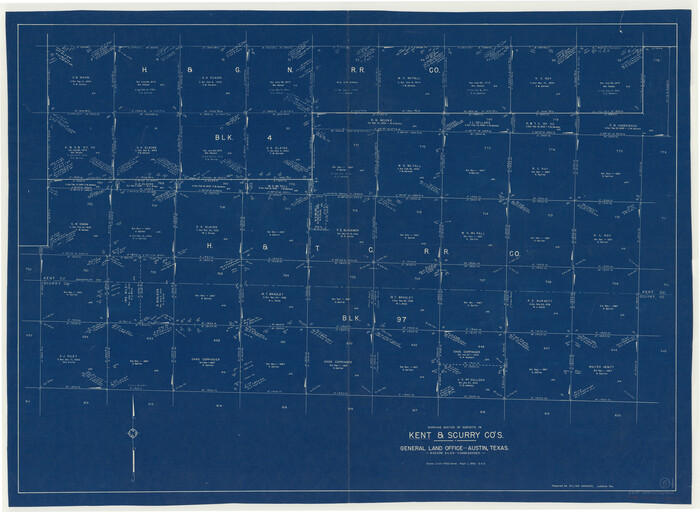
Kent County Working Sketch 5
1950
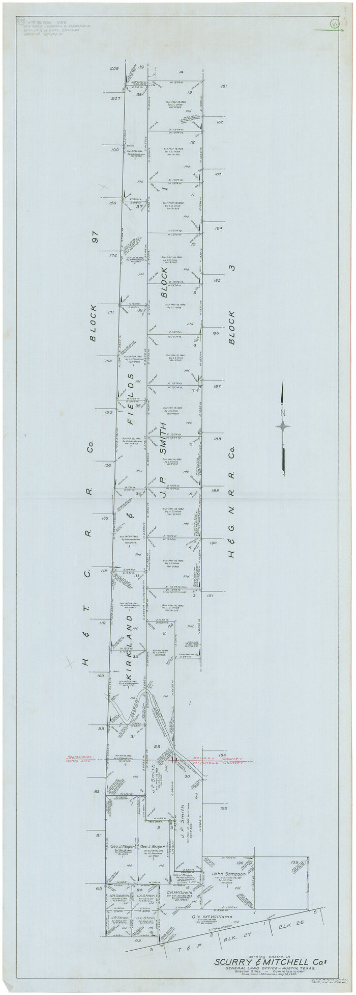
Scurry County Working Sketch 5
1950
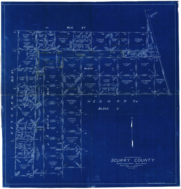
Scurry County Working Sketch 6
1950

Scurry County Sketch Mineral Application No. 42315
1950
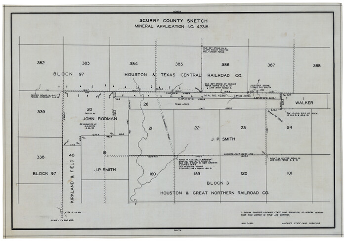
Scurry County Sketch Mineral Application No. 42315
1950

Working Sketch of Surveys in Kent & Scurry Co's.
1950
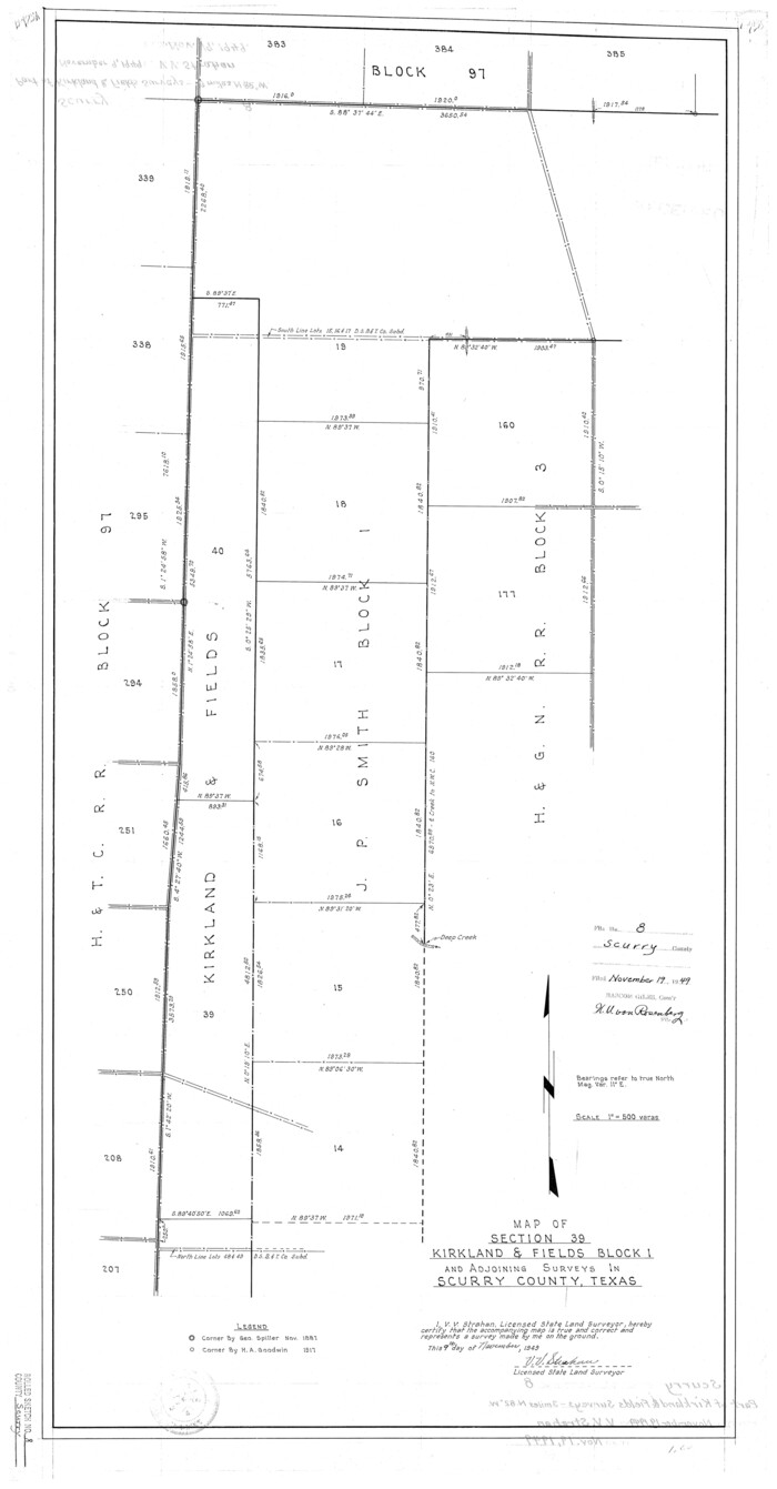
Scurry County Rolled Sketch 8
1949

Scurry County North Snyder Area
1949

Kent County Working Sketch 2
1947

Scurry County Rolled Sketch 14
2016
-
Size
23.4 x 41.4 inches
-
Map/Doc
95404
-
Creation Date
2016

Scurry County Rolled Sketch 13
2002
-
Size
19.4 x 19.2 inches
-
Map/Doc
76417
-
Creation Date
2002

Scurry County Sketch File 6
2002
-
Size
11.2 x 8.7 inches
-
Map/Doc
76370
-
Creation Date
2002

Scurry County Working Sketch 11
1999
-
Size
26.1 x 24.1 inches
-
Map/Doc
63840
-
Creation Date
1999

Scurry County Working Sketch 10
1990
-
Size
25.7 x 28.7 inches
-
Map/Doc
63839
-
Creation Date
1990

Scurry County Sketch File 5
1990
-
Size
14.4 x 8.9 inches
-
Map/Doc
36568
-
Creation Date
1990

Scurry County Rolled Sketch 12
1983
-
Size
27.7 x 27.0 inches
-
Map/Doc
7772
-
Creation Date
1983

Scurry County Working Sketch 9
1982
-
Size
37.8 x 43.5 inches
-
Map/Doc
63838
-
Creation Date
1982

Scurry County Working Sketch 8
1980
-
Size
34.5 x 49.5 inches
-
Map/Doc
63837
-
Creation Date
1980

Kent County Working Sketch 19
1980
-
Size
36.8 x 51.5 inches
-
Map/Doc
70026
-
Creation Date
1980

Kent County Working Sketch 18
1974
-
Size
33.5 x 31.5 inches
-
Map/Doc
70025
-
Creation Date
1974

Kent County Working Sketch 15
1971
-
Size
32.3 x 48.3 inches
-
Map/Doc
70022
-
Creation Date
1971

Scurry County Working Sketch 7
1971
-
Size
33.5 x 29.0 inches
-
Map/Doc
63836
-
Creation Date
1971

Scurry County Rolled Sketch 10
1966
-
Size
22.7 x 18.3 inches
-
Map/Doc
7770
-
Creation Date
1966

Scurry County Rolled Sketch 9
1963
-
Size
23.0 x 22.0 inches
-
Map/Doc
7769
-
Creation Date
1963

Sketch showing county lines of Lynn, Garza, Borden, Scurry
1961
-
Size
23.9 x 79.9 inches
-
Map/Doc
1719
-
Creation Date
1961

General Highway Map, Scurry County, Texas
1961
-
Size
18.1 x 24.8 inches
-
Map/Doc
79650
-
Creation Date
1961

Fisher County Working Sketch 14
1957
-
Size
24.9 x 33.1 inches
-
Map/Doc
69148
-
Creation Date
1957

Borden County Rolled Sketch 8
1951
-
Size
23.8 x 28.6 inches
-
Map/Doc
5159
-
Creation Date
1951

Borden County Working Sketch 9
1951
-
Size
24.8 x 42.3 inches
-
Map/Doc
67469
-
Creation Date
1951

Scurry County Sketch Mineral Application No. 42631
1950
-
Size
16.7 x 23.9 inches
-
Map/Doc
92966
-
Creation Date
1950

Kent County Working Sketch 5
1950
-
Size
36.7 x 50.1 inches
-
Map/Doc
70012
-
Creation Date
1950

Scurry County Working Sketch 5
1950
-
Size
72.5 x 27.8 inches
-
Map/Doc
63834
-
Creation Date
1950

Scurry County Working Sketch 6
1950
-
Size
38.7 x 37.3 inches
-
Map/Doc
63835
-
Creation Date
1950

Scurry County Sketch Mineral Application No. 42315
1950
-
Size
24.2 x 16.4 inches
-
Map/Doc
92926
-
Creation Date
1950

Scurry County Sketch Mineral Application No. 42315
1950
-
Size
24.0 x 16.5 inches
-
Map/Doc
92965
-
Creation Date
1950

Working Sketch of Surveys in Kent & Scurry Co's.
1950
-
Size
50.7 x 36.6 inches
-
Map/Doc
89860
-
Creation Date
1950

Scurry County Rolled Sketch 8
1949
-
Size
35.1 x 19.1 inches
-
Map/Doc
7768
-
Creation Date
1949

Scurry County North Snyder Area
1949
-
Size
32.7 x 23.6 inches
-
Map/Doc
92920
-
Creation Date
1949

Kent County Working Sketch 2
1947
-
Size
43.7 x 42.7 inches
-
Map/Doc
70008
-
Creation Date
1947