Origin of Exports, Destination of Imports at Texas City, Tex. during 1921
-
Map/Doc
97162
-
Collection
General Map Collection
-
Object Dates
1921 (Creation Date)
-
People and Organizations
War Department (Publisher)
Corps of Engineers, U.S. Army (Publisher)
-
Subjects
State of Texas
-
Height x Width
13.8 x 9.6 inches
35.1 x 24.4 cm
-
Comments
Item from "Port Series No. 6 - The Ports of Galveston, Houston, and Texas City, Texas" (97159)
Related maps
Port Series No. 6 - The Ports of Galveston, Houston, and Texas City, Texas


Port Series No. 6 - The Ports of Galveston, Houston, and Texas City, Texas
1924
Map/Doc 97159
Mosaic composed of aerial photographs - Galveston, Tex.


Print $20.00
- Digital $50.00
Mosaic composed of aerial photographs - Galveston, Tex.
1923
Size 15.3 x 33.3 inches
Map/Doc 97160
Port Facilities at Texas City, Tex.


Print $20.00
- Digital $50.00
Port Facilities at Texas City, Tex.
Size 13.9 x 15.9 inches
Map/Doc 97161
Origin of Imports and Destination of Exports at Texas City, Tex., during 1921


Print $20.00
- Digital $50.00
Origin of Imports and Destination of Exports at Texas City, Tex., during 1921
1921
Size 13.4 x 24.9 inches
Map/Doc 97163
Vicinity map showing railroads serving the ports of Galveston, Houston and Texas City, Texas


Print $20.00
- Digital $50.00
Vicinity map showing railroads serving the ports of Galveston, Houston and Texas City, Texas
Size 9.3 x 14.8 inches
Map/Doc 97164
Territory served by the Galveston Bay Ports, Tex.


Print $20.00
- Digital $50.00
Territory served by the Galveston Bay Ports, Tex.
Size 17.1 x 16.0 inches
Map/Doc 97165
Mosaic composed of aerial photographs - Texas City, Tex.


Print $20.00
- Digital $50.00
Mosaic composed of aerial photographs - Texas City, Tex.
1923
Size 15.0 x 16.8 inches
Map/Doc 97166
Port Facilities at Houston, Tex.


Print $20.00
- Digital $50.00
Port Facilities at Houston, Tex.
Size 14.1 x 30.3 inches
Map/Doc 97167
Origin of Exports and Destination of Imports at Galveston during 1921


Print $20.00
- Digital $50.00
Origin of Exports and Destination of Imports at Galveston during 1921
1921
Size 13.7 x 19.9 inches
Map/Doc 97168
Origin of Imports and Destination of Exports at Galveston, Tex., during 1921


Print $20.00
- Digital $50.00
Origin of Imports and Destination of Exports at Galveston, Tex., during 1921
1921
Size 13.1 x 24.6 inches
Map/Doc 97169
Origins of Exports and Destination of Imports at Houston during 1921


Print $20.00
- Digital $50.00
Origins of Exports and Destination of Imports at Houston during 1921
1921
Size 13.6 x 19.6 inches
Map/Doc 97170
Origins of Imports and Destination of Exports at Houston, Tex., during 1921


Print $20.00
- Digital $50.00
Origins of Imports and Destination of Exports at Houston, Tex., during 1921
1921
Size 14.2 x 23.1 inches
Map/Doc 97171
Mosaic composed of aerial photographs - Houston Ship Channel, Tex.


Print $20.00
- Digital $50.00
Mosaic composed of aerial photographs - Houston Ship Channel, Tex.
1923
Size 13.7 x 38.0 inches
Map/Doc 97172
Port Facilities at Galveston, Tex.


Print $20.00
- Digital $50.00
Port Facilities at Galveston, Tex.
Size 14.1 x 37.5 inches
Map/Doc 97173
Part of: General Map Collection
Orange County Sketch File 11a
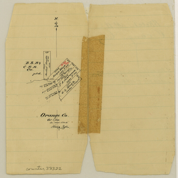

Print $4.00
- Digital $50.00
Orange County Sketch File 11a
1884
Size 6.1 x 6.1 inches
Map/Doc 33322
Flight Mission No. BRE-3P, Frame 96, Nueces County
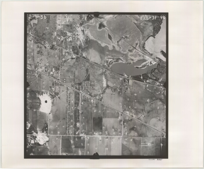

Print $20.00
- Digital $50.00
Flight Mission No. BRE-3P, Frame 96, Nueces County
1956
Size 18.3 x 22.2 inches
Map/Doc 86827
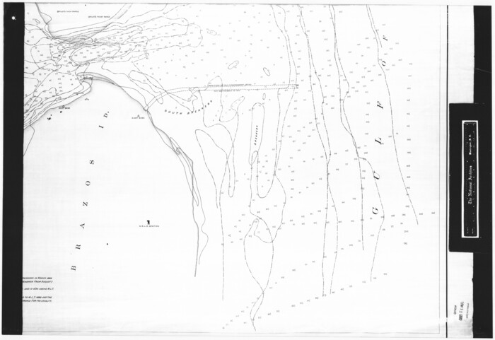
Brazos Santiago, Texas

Print $20.00
- Digital $50.00
Brazos Santiago, Texas
1900
Size 18.3 x 26.7 inches
Map/Doc 73032
Waller County


Print $40.00
- Digital $50.00
Waller County
1945
Size 48.5 x 28.9 inches
Map/Doc 73315
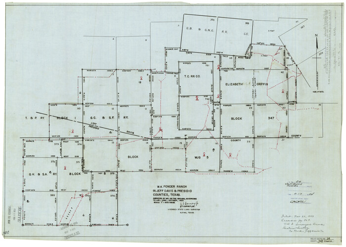
Jeff Davis County Rolled Sketch 24

Print $20.00
- Digital $50.00
Jeff Davis County Rolled Sketch 24
1953
Size 23.2 x 32.5 inches
Map/Doc 6372
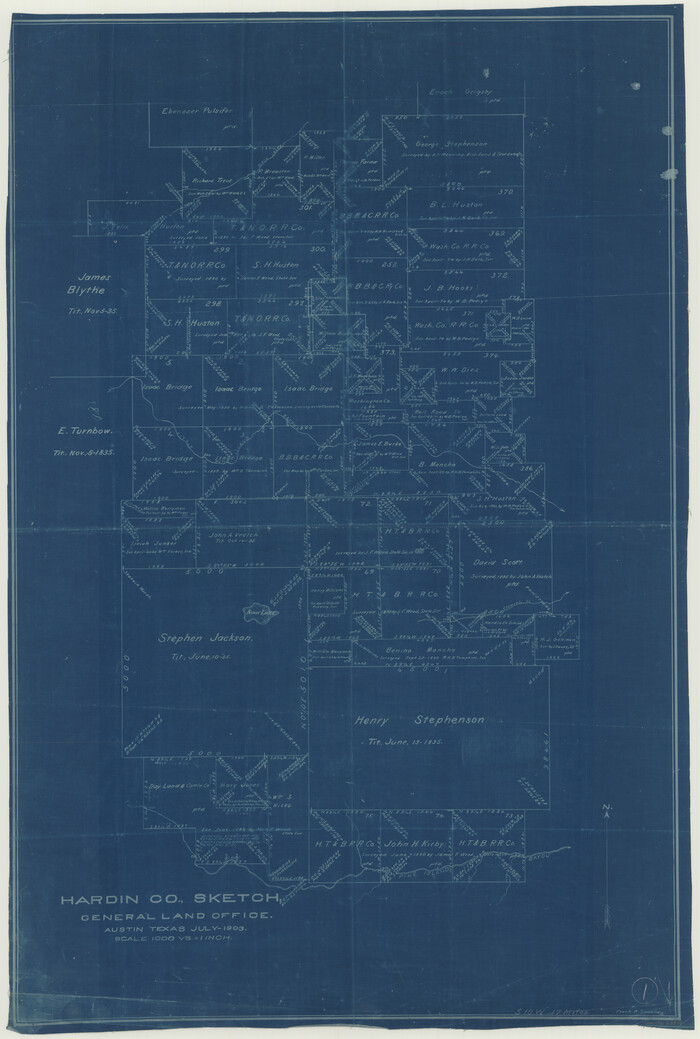
Hardin County Working Sketch 1

Print $20.00
- Digital $50.00
Hardin County Working Sketch 1
1903
Size 27.8 x 18.7 inches
Map/Doc 63399
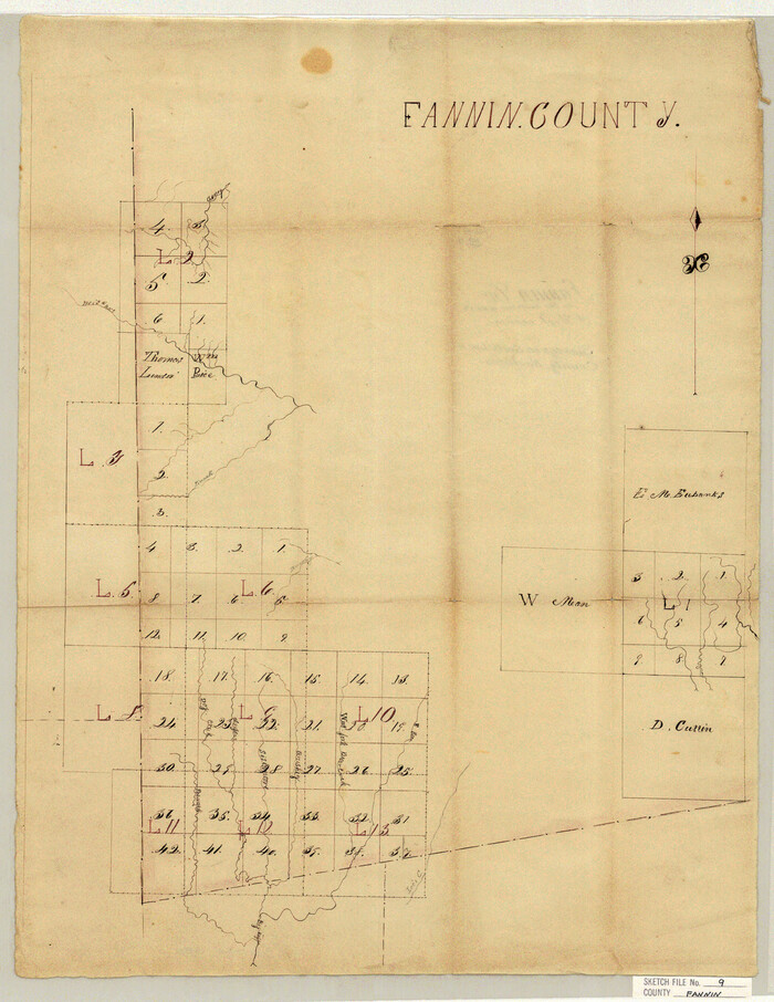
Fannin County Sketch File 9

Print $20.00
- Digital $50.00
Fannin County Sketch File 9
Size 20.7 x 16.0 inches
Map/Doc 11470
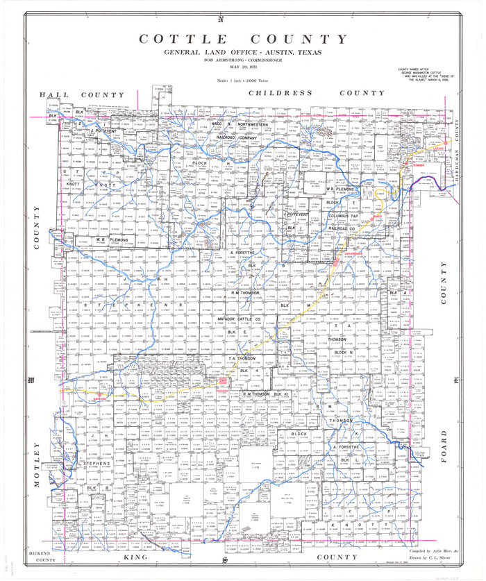
Cottle County

Print $20.00
- Digital $50.00
Cottle County
1971
Size 42.5 x 35.7 inches
Map/Doc 73118
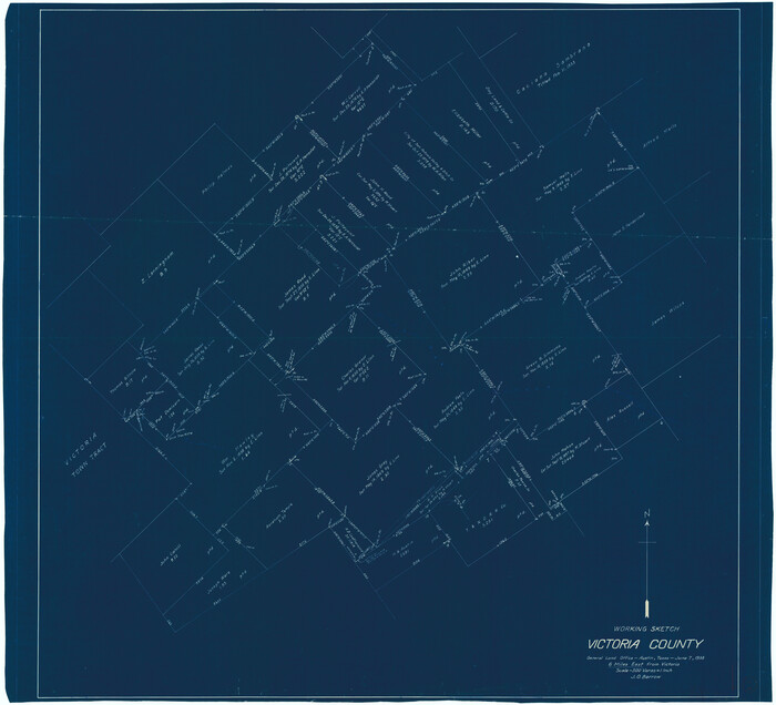
Victoria County Working Sketch 1

Print $20.00
- Digital $50.00
Victoria County Working Sketch 1
Size 33.5 x 36.9 inches
Map/Doc 72271
Kinney County Sketch File E


Print $10.00
- Digital $50.00
Kinney County Sketch File E
1885
Size 10.7 x 8.1 inches
Map/Doc 29124
You may also like
Map of Portions of Eastland, Brown and Comanche Counties


Print $20.00
Map of Portions of Eastland, Brown and Comanche Counties
Size 21.7 x 16.7 inches
Map/Doc 88926
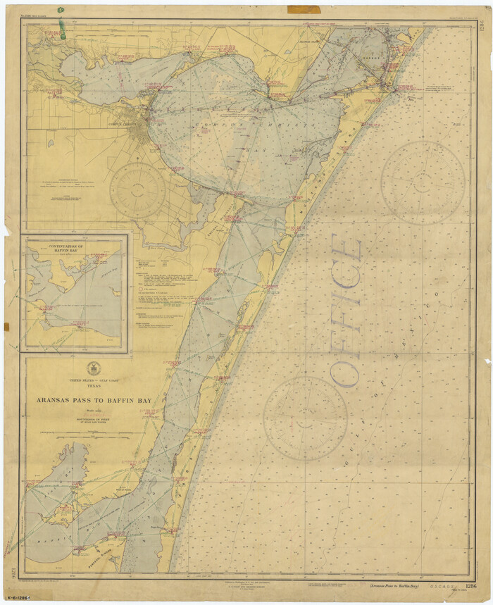
Aransas Pass to Baffin Bay

Print $20.00
- Digital $50.00
Aransas Pass to Baffin Bay
1946
Size 42.1 x 34.3 inches
Map/Doc 73412
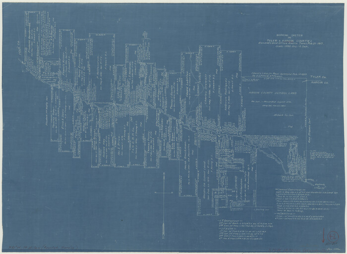
Hardin County Working Sketch 42

Print $20.00
- Digital $50.00
Hardin County Working Sketch 42
1917
Size 16.2 x 22.1 inches
Map/Doc 63441
Montgomery County Sketch File 13


Print $40.00
- Digital $50.00
Montgomery County Sketch File 13
1900
Size 17.8 x 14.8 inches
Map/Doc 31803
[Galveston, Harrisburg & San Antonio through El Paso County]
![64012, [Galveston, Harrisburg & San Antonio through El Paso County], General Map Collection](https://historictexasmaps.com/wmedia_w700/maps/64012.tif.jpg)
![64012, [Galveston, Harrisburg & San Antonio through El Paso County], General Map Collection](https://historictexasmaps.com/wmedia_w700/maps/64012.tif.jpg)
Print $20.00
- Digital $50.00
[Galveston, Harrisburg & San Antonio through El Paso County]
1906
Size 13.6 x 33.8 inches
Map/Doc 64012
New Map of the State of Texas compiled from J. De Cordova's large map
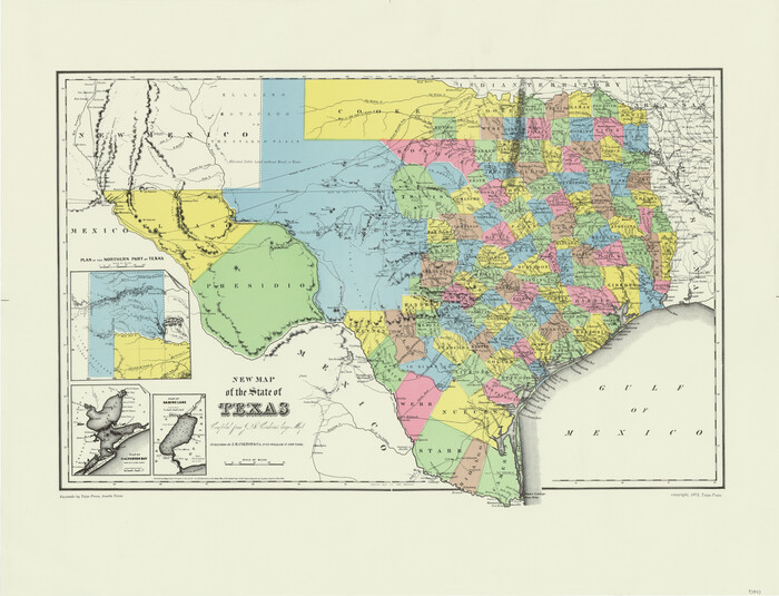

Print $20.00
- Digital $50.00
New Map of the State of Texas compiled from J. De Cordova's large map
1855
Map/Doc 93943
Flight Mission No. CUG-1P, Frame 42, Kleberg County
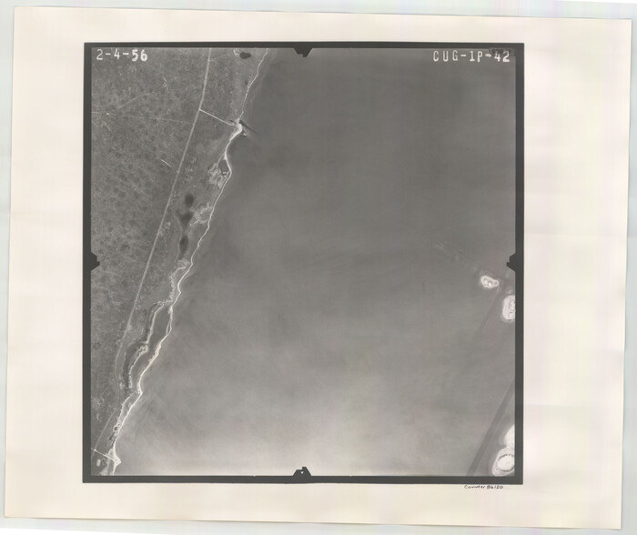

Print $20.00
- Digital $50.00
Flight Mission No. CUG-1P, Frame 42, Kleberg County
1956
Size 18.9 x 22.5 inches
Map/Doc 86120
[Sketch showing west part of county]
![91712, [Sketch showing west part of county], Twichell Survey Records](https://historictexasmaps.com/wmedia_w700/maps/91712-1.tif.jpg)
![91712, [Sketch showing west part of county], Twichell Survey Records](https://historictexasmaps.com/wmedia_w700/maps/91712-1.tif.jpg)
Print $3.00
- Digital $50.00
[Sketch showing west part of county]
1907
Size 16.4 x 11.1 inches
Map/Doc 91712
Sam Street's Map of Dallas County, Texas


Sam Street's Map of Dallas County, Texas
1900
Size 32.1 x 28.5 inches
Map/Doc 76173
Parker County Working Sketch 12


Print $20.00
- Digital $50.00
Parker County Working Sketch 12
Size 25.9 x 27.2 inches
Map/Doc 71462
Robertson County Sketch File 12


Print $18.00
Robertson County Sketch File 12
1987
Size 11.4 x 8.8 inches
Map/Doc 35404
University Land Field Notes for Block L in El Paso County


University Land Field Notes for Block L in El Paso County
Map/Doc 81725

