Historia de Nueva-España, escrita por su esclarecido conquistador Hernan Cortes, aumentada con otros documentos, y notas, por el ilustrissimo señor don Francisco Antonio Lorenzana, Arzobispo de Mexico
-
Map/Doc
97351
-
Collection
General Map Collection
-
Object Dates
1770 (Creation Date)
-
People and Organizations
Hernán Cortés (Author)
Francisco Antonio Lorenzana (Editor)
-
Subjects
Bound Volume Mexico Spanish Texas
-
Comments
For the two maps that were attached inside this book, see 97352 and 97353.
Related maps
Plano de la Nueva España en que se señalan los Viages que hizo el Capitan Hernan Cortes assi antes como despues de conquistado el Imperio Mexicano


Print $20.00
- Digital $50.00
Plano de la Nueva España en que se señalan los Viages que hizo el Capitan Hernan Cortes assi antes como despues de conquistado el Imperio Mexicano
1769
Size 14.4 x 17.5 inches
Map/Doc 97352
[Untitled Map of Baja California & West Coast of Mexico]


Print $20.00
- Digital $50.00
[Untitled Map of Baja California & West Coast of Mexico]
1541
Size 11.1 x 16.7 inches
Map/Doc 97353
Part of: General Map Collection
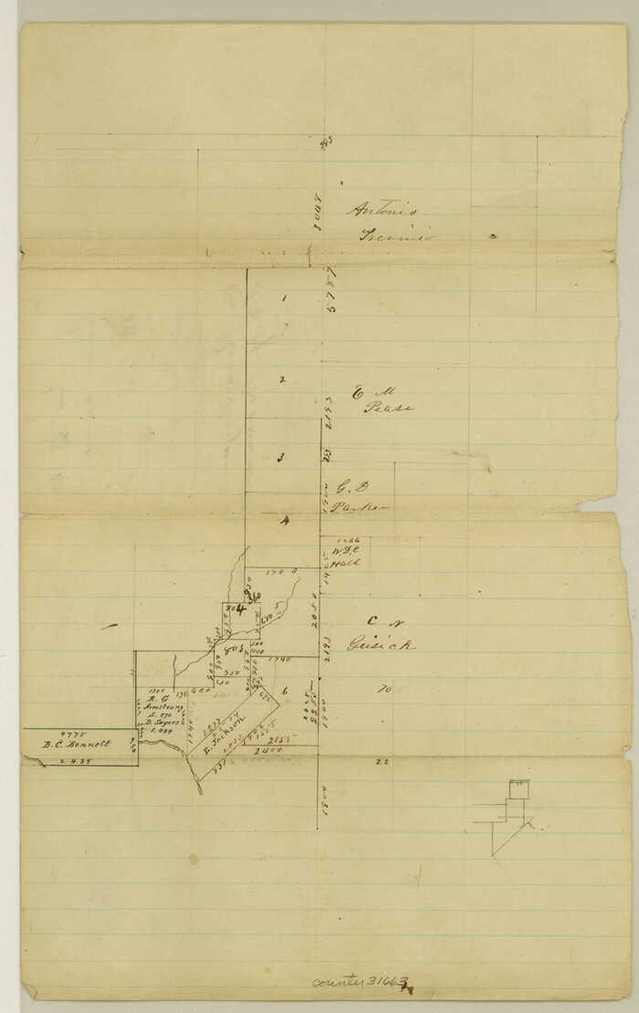
Mills County Sketch File 14a

Print $4.00
- Digital $50.00
Mills County Sketch File 14a
Size 13.0 x 8.2 inches
Map/Doc 31663
Gregg County Rolled Sketch 9A


Print $20.00
- Digital $50.00
Gregg County Rolled Sketch 9A
1932
Size 38.1 x 30.2 inches
Map/Doc 6035
Concho, San Saba & Llano Valley Railway, Sterling City Branch, Texas. Right of Way and Track Map


Print $40.00
- Digital $50.00
Concho, San Saba & Llano Valley Railway, Sterling City Branch, Texas. Right of Way and Track Map
1910
Size 18.3 x 59.7 inches
Map/Doc 64439
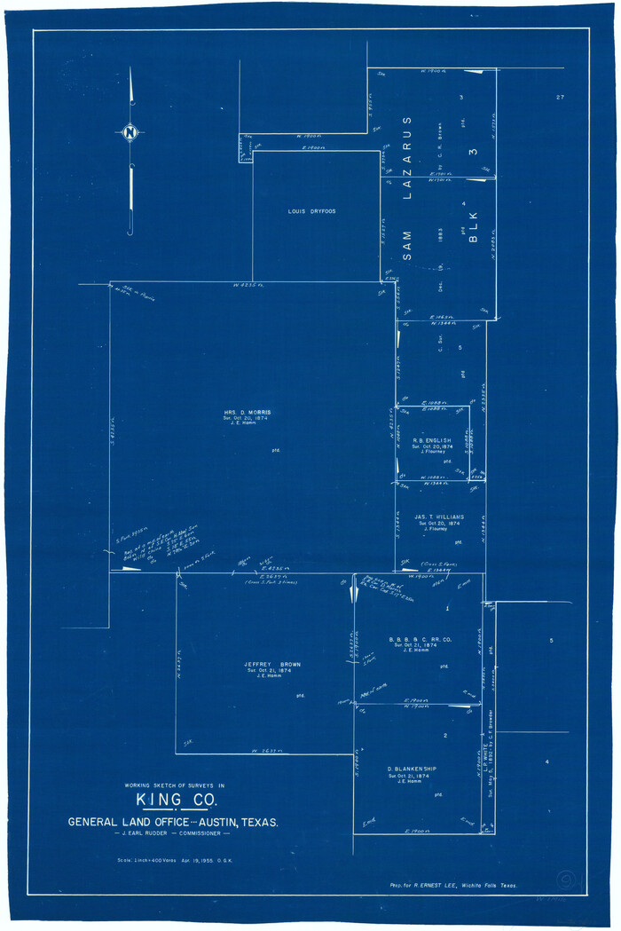
King County Working Sketch 9

Print $20.00
- Digital $50.00
King County Working Sketch 9
1955
Size 34.1 x 22.7 inches
Map/Doc 70173
Flight Mission No. BRA-8M, Frame 140, Jefferson County

Print $20.00
- Digital $50.00
Flight Mission No. BRA-8M, Frame 140, Jefferson County
1953
Size 18.6 x 22.2 inches
Map/Doc 85632
Sabine County Working Sketch 10


Print $4.00
- Digital $50.00
Sabine County Working Sketch 10
Size 18.6 x 24.2 inches
Map/Doc 63681
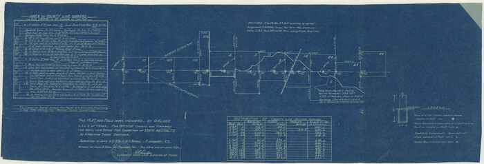
Floyd County Boundary File 4a

Print $40.00
- Digital $50.00
Floyd County Boundary File 4a
Size 12.2 x 35.8 inches
Map/Doc 53496
Brewster County Working Sketch 93
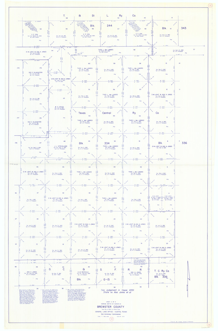

Print $40.00
- Digital $50.00
Brewster County Working Sketch 93
1975
Size 60.6 x 39.9 inches
Map/Doc 67693
Bexar County Sketch File 30
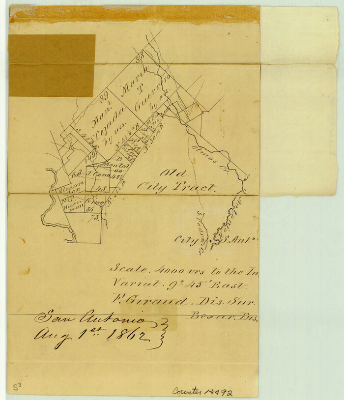

Print $8.00
- Digital $50.00
Bexar County Sketch File 30
1867
Size 9.5 x 8.2 inches
Map/Doc 14492
Flight Mission No. CUG-2P, Frame 30, Kleberg County
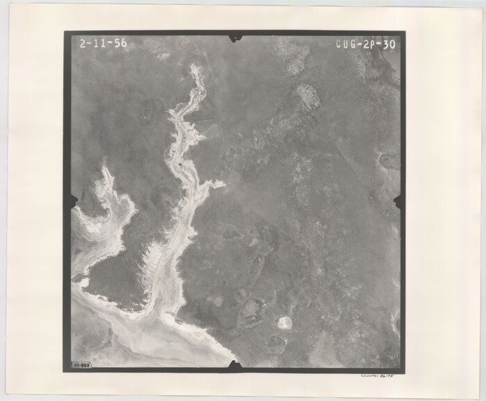

Print $20.00
- Digital $50.00
Flight Mission No. CUG-2P, Frame 30, Kleberg County
1956
Size 18.5 x 22.4 inches
Map/Doc 86195
Map of Nacogdoches County


Print $40.00
- Digital $50.00
Map of Nacogdoches County
1839
Size 83.6 x 41.6 inches
Map/Doc 93371
Flight Mission No. CUG-1P, Frame 160, Kleberg County
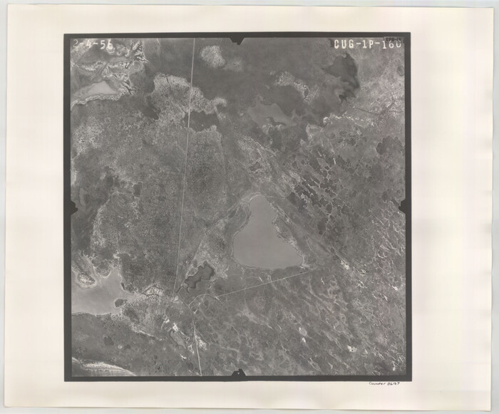

Print $20.00
- Digital $50.00
Flight Mission No. CUG-1P, Frame 160, Kleberg County
1956
Size 18.5 x 22.4 inches
Map/Doc 86167
You may also like
Map of the County of Calhoun


Print $20.00
- Digital $50.00
Map of the County of Calhoun
1852
Size 21.0 x 20.4 inches
Map/Doc 4431
Harris County NRC Article 33.136 Sketch 12


Print $30.00
- Digital $50.00
Harris County NRC Article 33.136 Sketch 12
2007
Size 24.0 x 17.5 inches
Map/Doc 94627
Val Verde County Sketch File DD and DD1


Print $64.00
- Digital $50.00
Val Verde County Sketch File DD and DD1
1889
Size 8.9 x 7.9 inches
Map/Doc 39067
Trinity River, Map of J. B. Bradley's Levee in Valley of Cummins Creek about 2 1/2 Miles South of Rice Showing Proposed Change of Location


Print $2.00
- Digital $50.00
Trinity River, Map of J. B. Bradley's Levee in Valley of Cummins Creek about 2 1/2 Miles South of Rice Showing Proposed Change of Location
1950
Size 13.9 x 16.1 inches
Map/Doc 65246
Hudspeth County Rolled Sketch 41


Print $40.00
- Digital $50.00
Hudspeth County Rolled Sketch 41
1947
Size 12.6 x 83.1 inches
Map/Doc 76043
Travis County State Real Property Sketch 15
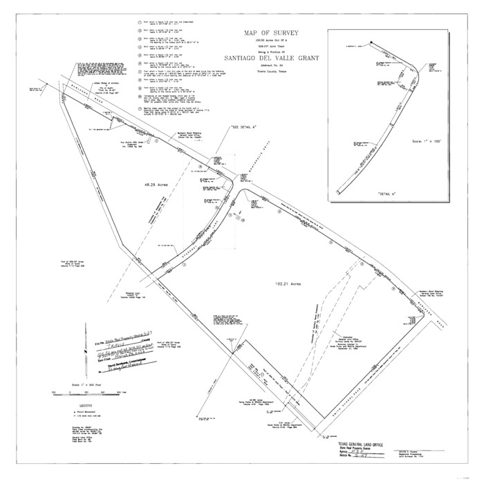

Print $20.00
- Digital $50.00
Travis County State Real Property Sketch 15
1995
Size 29.6 x 29.5 inches
Map/Doc 61674
Brewster County Rolled Sketch 104
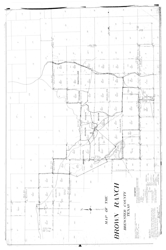

Print $40.00
- Digital $50.00
Brewster County Rolled Sketch 104
1938
Size 68.3 x 45.3 inches
Map/Doc 8511
Map of The Surveyed Part of Peters Colony Texas


Print $40.00
- Digital $50.00
Map of The Surveyed Part of Peters Colony Texas
1858
Size 45.6 x 58.5 inches
Map/Doc 1982
United States of America compiled from the latest & best Authorities


Print $20.00
- Digital $50.00
United States of America compiled from the latest & best Authorities
1818
Size 17.3 x 20.9 inches
Map/Doc 97135
A New Map of ye North Parts of America according to the division thereof by the Articles of Peace in 1763


Print $20.00
A New Map of ye North Parts of America according to the division thereof by the Articles of Peace in 1763
1763
Size 8.5 x 11.3 inches
Map/Doc 95280
Zapata County Working Sketch 1


Print $20.00
- Digital $50.00
Zapata County Working Sketch 1
Size 26.2 x 25.7 inches
Map/Doc 62052

