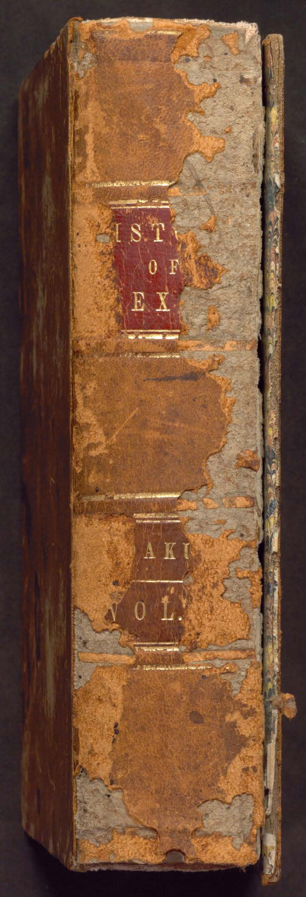
History of Texas from its First Settlement in 1685 to its Annexation to the United States in 1846 (Vol. 1)
-
Map/Doc
97390
-
Collection
General Map Collection
-
Object Dates
1856 (Creation Date)
-
People and Organizations
H. Yoakum (Author)
-
Subjects
Bound Volume Spanish Texas Mexican Texas State of Texas
-
Comments
Volume 1 of 2. See 97391 for Volume 2.
Related maps
History of Texas from its First Settlement in 1685 to its Annexation to the United States in 1846 (Vol. 2)

History of Texas from its First Settlement in 1685 to its Annexation to the United States in 1846 (Vol. 2)
1856
Map/Doc 97391
Part of: General Map Collection
Harris County NRC Article 33.136 Sketch 11

Print $28.00
- Digital $50.00
Harris County NRC Article 33.136 Sketch 11
2007
Size 24.0 x 36.0 inches
Map/Doc 94658
Zapata County Working Sketch 13

Print $20.00
- Digital $50.00
Zapata County Working Sketch 13
Size 28.7 x 29.6 inches
Map/Doc 62064
Kendall County Sketch File 29

Print $14.00
- Digital $50.00
Kendall County Sketch File 29
1990
Size 14.0 x 8.5 inches
Map/Doc 95291
Brown County Working Sketch 8

Print $20.00
- Digital $50.00
Brown County Working Sketch 8
1974
Size 43.8 x 27.7 inches
Map/Doc 67773
Kaufman County Working Sketch 1

Print $20.00
- Digital $50.00
Kaufman County Working Sketch 1
1921
Size 21.4 x 47.6 inches
Map/Doc 66664
Potter County Rolled Sketch 5

Print $40.00
- Digital $50.00
Potter County Rolled Sketch 5
1903
Size 56.0 x 21.9 inches
Map/Doc 9759
Greer County Sketch File 12

Print $20.00
- Digital $50.00
Greer County Sketch File 12
Size 23.6 x 20.1 inches
Map/Doc 11585
Matagorda County Sketch File 43

Print $20.00
- Digital $50.00
Matagorda County Sketch File 43
1839
Size 13.2 x 8.2 inches
Map/Doc 30868
Uvalde County Rolled Sketch 16

Print $20.00
- Digital $50.00
Uvalde County Rolled Sketch 16
Size 36.6 x 25.1 inches
Map/Doc 8100
Kimble County Sketch File 43

Print $16.00
- Digital $50.00
Kimble County Sketch File 43
2021
Size 11.0 x 8.5 inches
Map/Doc 96811
Angelina County Sketch File 21a

Print $24.00
- Digital $50.00
Angelina County Sketch File 21a
1883
Size 8.3 x 12.6 inches
Map/Doc 13041
Gregg County Working Sketch 22

Print $20.00
- Digital $50.00
Gregg County Working Sketch 22
1981
Size 23.2 x 21.5 inches
Map/Doc 63289
You may also like
Howard County Sketch File 11

Print $40.00
- Digital $50.00
Howard County Sketch File 11
1937
Size 17.6 x 10.2 inches
Map/Doc 26865
Blanco County Working Sketch 9

Print $3.00
- Digital $50.00
Blanco County Working Sketch 9
1935
Size 11.3 x 18.0 inches
Map/Doc 67369
Palo Pinto County Sketch File 24

Print $20.00
- Digital $50.00
Palo Pinto County Sketch File 24
Size 21.0 x 32.8 inches
Map/Doc 12136
Hudspeth County Sketch File 26

Print $20.00
- Digital $50.00
Hudspeth County Sketch File 26
Size 42.5 x 23.9 inches
Map/Doc 10496
Flight Mission No. CGI-4N, Frame 21, Cameron County

Print $20.00
- Digital $50.00
Flight Mission No. CGI-4N, Frame 21, Cameron County
1954
Size 18.5 x 22.2 inches
Map/Doc 84654
Nueces County Rolled Sketch 99

Print $92.00
Nueces County Rolled Sketch 99
1985
Size 24.2 x 36.6 inches
Map/Doc 7060
Morris County Rolled Sketch 2A

Print $20.00
- Digital $50.00
Morris County Rolled Sketch 2A
Size 24.3 x 19.1 inches
Map/Doc 10250
Presidio County Sketch File 28

Print $20.00
- Digital $50.00
Presidio County Sketch File 28
1890
Size 30.2 x 16.1 inches
Map/Doc 11709

Topographical Map of the Rio Grande, Sheet No. 5

Print $20.00
- Digital $50.00
Topographical Map of the Rio Grande, Sheet No. 5
1912
Map/Doc 89529
[Blk. Y2, B. & B. Blk. 5, T. T. Blk. T, North line of H. & G. N. Blk. 4]
![90140, [Blk. Y2, B. & B. Blk. 5, T. T. Blk. T, North line of H. & G. N. Blk. 4], Twichell Survey Records](https://historictexasmaps.com/wmedia_w700/maps/90140-1.tif.jpg)
Print $20.00
- Digital $50.00
[Blk. Y2, B. & B. Blk. 5, T. T. Blk. T, North line of H. & G. N. Blk. 4]
Size 18.8 x 23.7 inches
Map/Doc 90140
[Texas Boundary Line]
![92071, [Texas Boundary Line], Twichell Survey Records](https://historictexasmaps.com/wmedia_w700/maps/92071-1.tif.jpg)
Print $20.00
- Digital $50.00
[Texas Boundary Line]
Size 21.5 x 12.0 inches
Map/Doc 92071