Latest Acquisitions
June 2025 Acquisitions
1910 Map of the City of Houston and vicinity, 1910
May 2025 Acquisitions
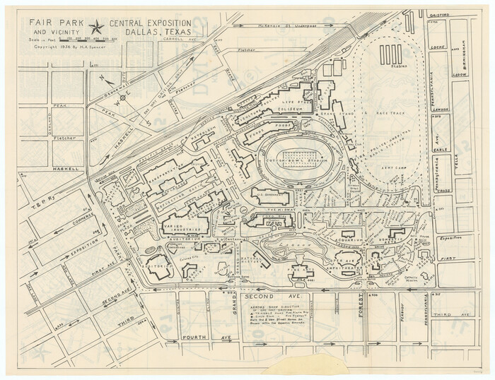
Key Map of Dallas, Texas, 1936
March 2025 Acquisitions
Individual map from "Travels to the Source of the Missouri River and Across the American Continent to the Pacific Ocean - Vol. 1":
February 2025 Acquisitions
January 2025 Acquisitions
Individual maps from "The American Military Pocket Atlas":
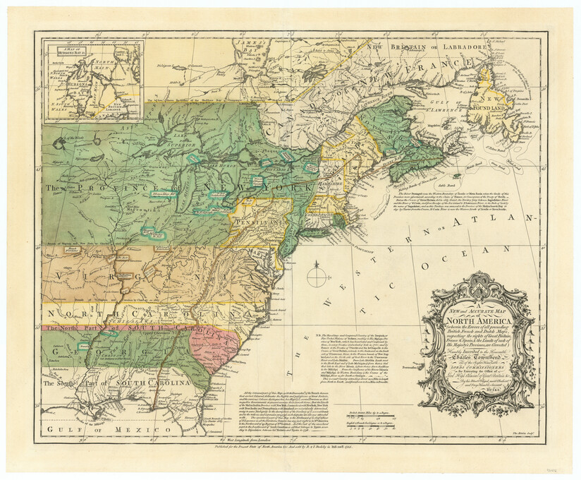
North America, as divided amongst the European Powers, 1774
A Survey of Lake Champlain, including Lake George, Crown Point and St. John, 1762 (1776)
Individual maps from "History of Texas from its First Settlement in 1685 to its Annexation to the United States in 1846 (Vol. 2)":
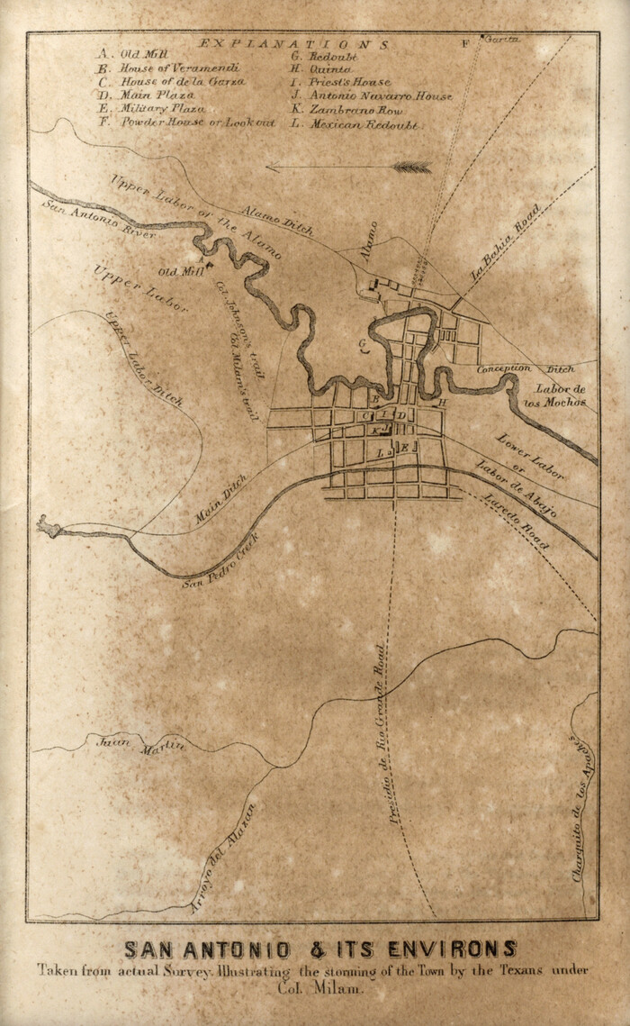
San Antonio & its Environs, 1856
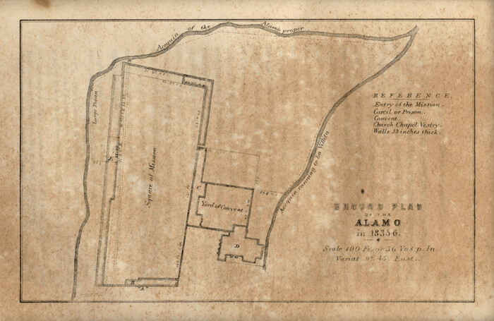
Ground Plan of the Alamo in 1835-6, 1856
San Jacinto Battle-Ground, 1856
December 2024 Acquisitions
Political Essay on the Kingdom of New Spain Vol. 1, Third Edition, 1822
Political Essay on the Kingdom of New Spain Vol. 2, Third Edition, 1822
Political Essay on the Kingdom of New Spain Vol. 3, 1822
Political Essay on the Kingdom of New Spain Vol. 4, 1822
November 2024 Acquisitions
The North Coast of the Gulf of Mexico from St. Marks to Galveston, 1844 (1856)
St. Marks to Galveston - Sheet II, 1846 (1851)
October 2024 Acquisitions
Plan De La Nouvelle-Orleans Sur les Manuscrits du Dépôt des Cartes de la Marine, 1744
Individual maps from "Historia de Nueva-España":
Untitled Map of Baja California & West Coast of Mexico, 1541 (1770)
Rachford's Complete Map of the City of Beaumont, 1897
Related records
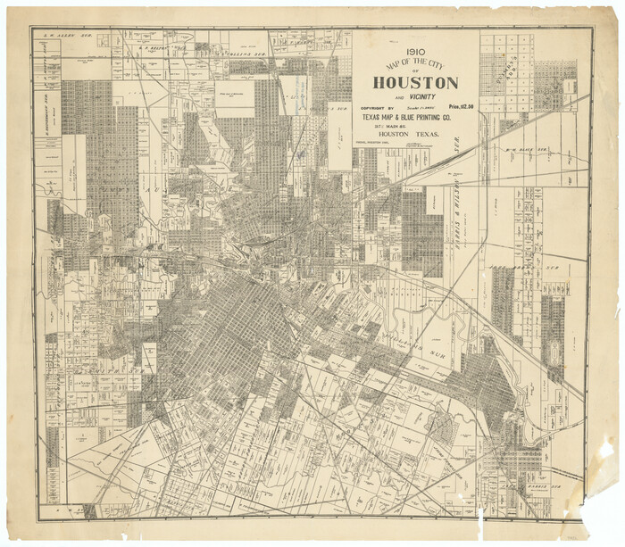
1910 Map of the City of Houston and vicinity
1910

A new and accurate map of North America (wherein the errors of all preceeding British, French and Dutch maps, respecting the rights of Great Britain, France & Spain, & the limits of each of His Majesty's provinces, are corrected)
1755

Carte du Canada et de la Louisiane qui forment la Nouvelle France et des colonies angloises ou sont representez les pays contestez
1756

Carta Esferica Del Reyno De Mexico y parte de la America Setentrional, Para inteligencia de la Obra intitulada: Descubrimiento y Conquista de la America
1802

Travels to the source of the Missouri River and across the American Continent to the Pacific Ocean - Vol. 1
1815

A map of Lewis and Clark's track across the western portion of North America from the Mississippi to the Pacific Ocean, by Order of the executive of the United States in 1804, 5, & 6
1814

Travels to the source of the Missouri River and across the American Continent to the Pacific Ocean - Vol. 2
1815

Travels to the source of the Missouri River and across the American Continent to the Pacific Ocean - Vol. 3
1815
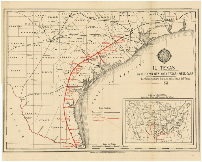
Il Texas: La Ferrovia New York Texas-Messicana, La Colonizzazione Italiana della costa del Texas
1881

The American Military Pocket Atlas; being an approved Collection of Correct Maps, both general and particular, of the British Colonies; Especially those which now are, or probably may be the Theatre of War
1776

North America, as divided amongst the European Powers
1774

A Compleat Map of the West Indies, containing the Coasts of Florida, Louisiana, New Spain, and Terra Firma: with all the Islands
1774

A General Map of the Northern British Colonies in America which comprehends the Province of Quebec, the Government of Newfoundland, Nova-Scotia, New England and New York
1776

A General Map of the Middle British Colonies, in America. containing Virginia, Maryland, the Delaware Counties, Pennsylvania and New Jersey. With the addition of New York and of the Greatest Part of New England
1776

A General Map of the Southern British Colonies, in America. comprehending North and South Carolina, Georgia, East and West Florida, with the Neighbouring Indian Countries
1776

A Survey of Lake Champlain, including Lake George, Crown Point and St. John
1762

History of Texas from its First Settlement in 1685 to its Annexation to the United States in 1846 (Vol. 1)
1856

History of Texas from its First Settlement in 1685 to its Annexation to the United States in 1846 (Vol. 2)
1856

Political Essay on the Kingdom of New Spain Vol. 1, Third Edition
1822

Political Essay on the Kingdom of New Spain Vol. 2, Third Edition
1822

Political Essay on the Kingdom of New Spain Vol. 3
1822

Political Essay on the Kingdom of New Spain Vol. 4
1822

The North Coast of the Gulf of Mexico from St. Marks to Galveston
1844

St. Marks to Galveston - Sheet II
1846
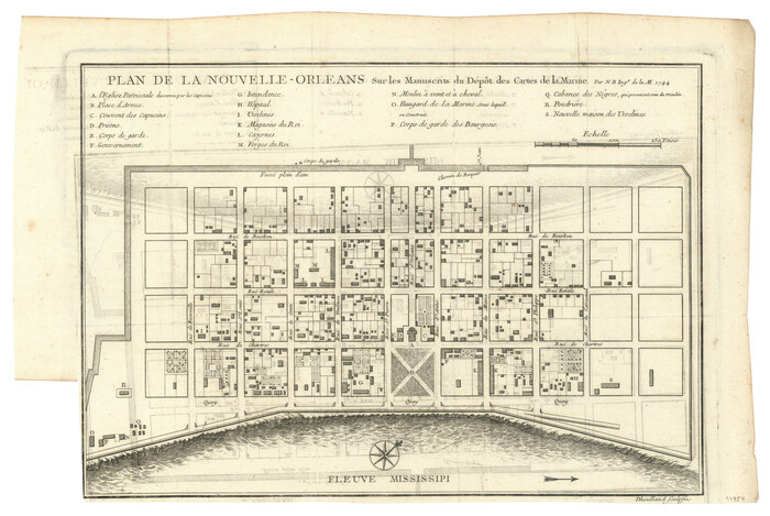
Plan De La Nouvelle-Orleans Sur les Manuscrits du Dépôt des Cartes de la Marine
1744

Historia de Nueva-España, escrita por su esclarecido conquistador Hernan Cortes, aumentada con otros documentos, y notas, por el ilustrissimo señor don Francisco Antonio Lorenzana, Arzobispo de Mexico
1770

Plano de la Nueva España en que se señalan los Viages que hizo el Capitan Hernan Cortes assi antes como despues de conquistado el Imperio Mexicano
1769

[Untitled Map of Baja California & West Coast of Mexico]
1541

